Toad Lake
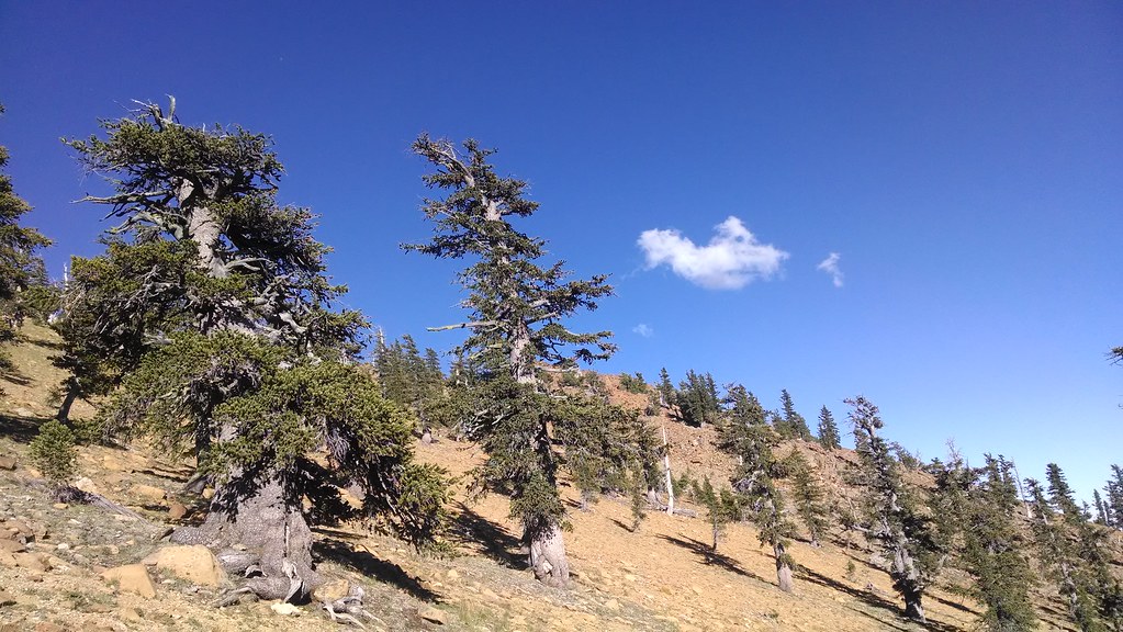 Photo: theforestprimeval, CC BY-SA 2.0 (via Flickr)
At a glance
Toad Lake is a hard hike in the Mt. Shasta Ranger District of Shasta-Trinity National Forest in California, about 9.7 miles long with a one-way elevation gain of 1,649 feet. The trail runs out and back, starting at a low point of about 6,367 feet and reaching a high of about 7,309 feet. The Forest Service manages the land, and the route is natural-surfaced, with horses and bikes allowed. The trail is not accessible. It is open year-round, and the Sisson-Callahan (Historic) and Sisson Callahan Trail both lie within a mile of the route. Toad Lake Campground is about 1.9 miles away, and the South Fork Sacramento River offers canoeing about 4.3 miles off. Climbers can head to The Cube, about 4.9 miles away.
- round trip
- 9.7 mi
- climb
- 1,649 ft
- high point
- 7,309 ft
- route
- Out and back
Where it is: Mt. Shasta Ranger District · Shasta-Trinity National Forest
Near: Mount Shasta
Been here? Tell people how it was.
- Sisson-Callahan (Historic)HikingPhoto: theforestprimeval, CC BY-SA 2.0 (via Flickr)0.4 mi
- Sisson Callahan TrailHikingPhoto: theforestprimeval, CC BY-SA 2.0 (via Flickr)0.6 mi
- Toad Lake CgCamping1.9 mi
- South Fork Sacramento RiverCanoeing4.3 mi
- The CubeRock climbing4.9 mi
- South ForkRock climbing4.9 mi
- Wagon CreekCanoeing5.4 mi
- Gumboot Lake Cg-FCamping6.4 mi
- Sisson Callahan TrailHikingPhoto: theforestprimeval, CC BY-SA 2.0 (via Flickr)Next door
 Pacific Crest TrailHikingPhoto: theforestprimeval, CC BY-SA 2.0 (via Flickr)~8 min drive
- Mt. EddyHiking~2 min drive
- Sisson Callahan TrailHiking~8 min drive
 Eddy CreekHikingPhoto: theforestprimeval, CC BY-SA 2.0 (via Flickr)~8 min drive
 Pacific Crest TrailHikingPhoto: randomduck, CC BY-SA 2.0 (via Flickr)~11 min drive
- Sisson Callahan Trail (Historic Route)Hiking~3 min drive
- Pacific Crest National Scenic Trail #2000Hiking~11 min drive
 Lake Siskiyou Trail - Delta SegmentHikingPhoto: m01229, CC BY-SA 2.0 (via Flickr)~11 min drive
- Rainbow Ridge TrailHiking~10 min drive
Conditions and forecast
Caution todayAgency alerts are in effect for this areaUSFS · checked 8 min agoDaily highs and lows, wind and the chance of precipitation at Start for the next 7 days, from the Open-Meteo model.

Ask about this place
Questions about Toad Lake: conditions, access, timing. Answers say when something isn't known.
