
Spruce Grove
Campground
0.2 mi from the trail
 Photo: OctopusHat on Flickr, CC BY-SA 2.0 (via Wikimedia Commons)
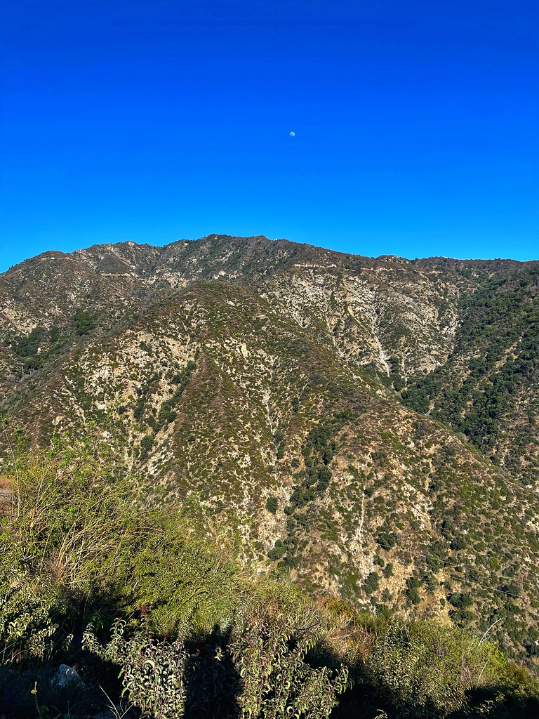
Sturtevant is a moderate hike of about 4.9 miles in the San Gabriel Mountains National Monument Ranger District of Angeles National Forest in California, managed by the Forest Service. It is an out-and-back route that rises from a low point of about 3,137 feet to a high of about 5,682 feet, with an elevation gain of roughly 2,534 feet. The trail is natural-surface, and both horses and bikes are allowed, which makes it a flexible option for a range of visitors. The route sits within the Angeles National Forest, and it is open year-round. Spring and fall are the most comfortable seasons. Typical averages from a nearby weather station at Mt Wilson, about 2.2 miles away, show May highs around 70°F and October highs around 72°F, with only a few wet days in each month. Summer runs hotter, with August highs near 85°F. Spruce Grove campground is about 0.2 miles from the trail, and Hoegees campground is about a mile away. The Sturtevant Trail / Gabrielino Trail / Silver Moccasin Trail network starts within about a tenth of a mile, and the West Fork San Gabriel River offers paddling about 4.2 miles away.
Where it is: San Gabriel Mountains National Monument Ranger District · Angeles National Forest
Near: Pasadena
Mid-September to late June is usually best for hiking here.
Typical highs of 54–80°F and lows of 36°F or warmer in those weeks.
Typical weather: NOAA 1991–2020 normals at Mt Wilson Cbs, CA, 2 mi away. Not a forecast.
Typical weather by monthBest months: October–June. Best months are the ones mostly made of the best weeks for hiking: typical temperatures in its comfortable range, few snowy days and not usually wet, judged with the same limits as our good-day forecasts.
Jan
56°
38°
7 wet
Feb
55°
37°
8 wet
Mar
59°
39°
7 wet
Apr
63°
42°
4 wet
May
70°
48°
3 wet
Jun
79°
58°
1 wet
Jul
84°
64°
1 wet
Aug
85°
64°
1 wet
Sep
81°
59°
1 wet
Oct
72°
51°
3 wet
Nov
63°
43°
4 wet
Dec
55°
37°
7 wet
Typical high / low (°F) and days with rain or snow, 1991–2020. Measured at Mt Wilson Cbs, CA, 2.2 mi away at 5,710 ft. This station doesn't record snowfall. Source: NOAA NCEI U.S. Climate Normals 1991–2020.
Been here? Tell people how it was.
Sturtevant Trail / Gabrielino Trail / Silver Moccasin TrailHikingPhoto: OctopusHat on Flickr, CC BY-SA 2.0 (via Wikimedia Commons)0.1 mi West Fork San Gabriel RiverCanoeingPhoto: Eeekster, CC BY 3.0 (via Wikimedia Commons)4.2 miZion TrailHikingPhoto: OctopusHat on Flickr, CC BY-SA 2.0 (via Wikimedia Commons)~2 min drive
 Sturtevant LoopHikingPhoto: JingKe888, CC BY 2.0 (via Flickr)~2 min drive
 Chantry Flats Truck TrailHikingPhoto: JingKe888, CC BY 2.0 (via Flickr)~4 min drive
 Winter Creek trailHikingPhoto: InSapphoWeTrust from Los Angeles, California, USA, CC BY-SA 2.0 (via Wikimedia Commons)~2 min drive
 Telephone trailHikingPhoto: USMARINE0311 from USA, CC BY-SA 2.0 (via Wikimedia Commons)~6 min drive
 Bastard RidgeHikingPhoto: D Sneiders from Temple City, USA, CC BY-SA 2.0 (via Wikimedia Commons)~5 min driveMount Wilson TrailHikingPhoto: InSapphoWeTrust from Los Angeles, California, USA, CC BY-SA 2.0 (via Wikimedia Commons)~2 min drive
 Lone Tree TrailHikingPhoto: mjhbower, CC BY-SA 2.0 (via Flickr)~7 min drive
 Silver Moccasin TrailHikingPhoto: RuggyBearLA, CC BY 2.0 (via Flickr)~7 min drive
Daily highs and lows, wind and the chance of precipitation at Start for the next 7 days, from the Open-Meteo model.
Questions about Sturtevant: conditions, access, timing. Answers say when something isn't known.
Spruce Grove
Campground
 If it rainsBoothsift, CC BY-SA 4.0 · Wikimedia Commons
Places © OpenStreetMap contributors · Photos: Boothsift, CC BY-SA 4.0 (commons)
More in Acton