Hoegees
Campground
Campground · 1.8 mi from the trail
 Photo: D Sneiders from Temple City, USA, CC BY-SA 2.0 (via Wikimedia Commons)
Alert in the area
The Forest Service lists 7 alerts for Angeles National Forest.
Rincon-Redbox Road (2N24) Closure
Agency alert covering Angeles National Forest · Order 05-01-26-13 · USFS · Angeles National Forest
Fire Danger Level Elevated to "Very High"
Agency alert covering Angeles National Forest · USFS · Angeles National Forest
San Gabriel Canyon OHV Area Prohibitions
Agency alert covering Angeles National Forest · Order 05-01-26-09 · USFS · Angeles National Forest
San Dimas Experimental Forest Closure
Agency alert covering Angeles National Forest · USFS · Angeles National Forest
Eaton Fire Area Closure
Agency alert covering Angeles National Forest · Order 05-01-26-04 · USFS · Angeles National Forest
As of · Source: USFS · Angeles National Forest. Agencies don't list every closure — check before you go.
Bastard Ridge is a 2.02-mile out-and-back trail in California with 1,783 feet of elevation gain and a maximum elevation of 3,322 feet.
Hoegees
Campground
 If it rainsCullen328, CC BY-SA 3.0 · Wikimedia Commons
Places © OpenStreetMap contributors, Places © Overture Maps Foundation · Photos: Cullen328, CC BY-SA 3.0 (commons)
More in Acton Winter Creek trailHiking · ~3 min drivePhoto: InSapphoWeTrust from Los Angeles, California, USA, CC BY-SA 2.0 (via Wikimedia Commons)Mount Wilson TrailHiking · ~3 min drivePhoto: InSapphoWeTrust from Los Angeles, California, USA, CC BY-SA 2.0 (via Wikimedia Commons)WINTER CREEKHiking · ~3 min drivePhoto: InSapphoWeTrust from Los Angeles, California, USA, CC BY-SA 2.0 (via Wikimedia Commons)
 Sturtevant LoopHiking · ~4 min drivePhoto: JingKe888, CC BY 2.0 (via Flickr)
 Altadena Crest TrailHiking · ~5 min drivePhoto: USMARINE0311 from California, United States, CC BY-SA 2.0 (via Wikimedia Commons)
 Upper Clamshell Truck TrailHiking · ~4 min drivePhoto: JingKe888, CC BY 2.0 (via Flickr)
 Zion TrailHiking · ~4 min drivePhoto: OctopusHat on Flickr, CC BY-SA 2.0 (via Wikimedia Commons)
 Eaton Canyon TrailHiking · ~4 min drivePhoto: FastLizard4, CC BY-SA 2.0 (via Flickr)
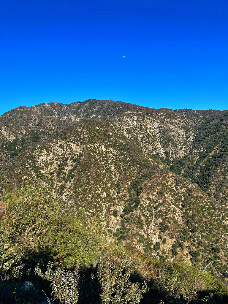 Chantry Flats Truck TrailHiking · ~3 min drivePhoto: JingKe888, CC BY 2.0 (via Flickr)
Also worth it near here
 Winter Creek (Upper)Mountain biking · ~3 min drivePhoto: John Verive from Hollywood, USA, CC BY-SA 2.0 (via Wikimedia Commons)
 Mount WilsonSummit · ~4 min drivePhoto: The original uploader was Geographer at English Wikipedia., CC BY 1.0 (via Wikimedia Commons)
Map and trail data © OpenStreetMap contributors
