Henninger Flats
Campground
Campground · 0.3 mi from the trail
 Photo: USMARINE0311 from USA, CC BY-SA 2.0 (via Wikimedia Commons)
Alert in the area
The Forest Service lists 7 alerts for Angeles National Forest.
Rincon-Redbox Road (2N24) Closure
Agency alert covering Angeles National Forest · Order 05-01-26-13 · USFS · Angeles National Forest
Fire Danger Level Elevated to "Very High"
Agency alert covering Angeles National Forest · USFS · Angeles National Forest
San Gabriel Canyon OHV Area Prohibitions
Agency alert covering Angeles National Forest · Order 05-01-26-09 · USFS · Angeles National Forest
San Dimas Experimental Forest Closure
Agency alert covering Angeles National Forest · USFS · Angeles National Forest
Eaton Fire Area Closure
Agency alert covering Angeles National Forest · Order 05-01-26-04 · USFS · Angeles National Forest
As of · Source: USFS · Angeles National Forest. Agencies don't list every closure — check before you go.
Telephone Trail is a 1.2-mile out-and-back hike in the Los Angeles Gateway Ranger District of Angeles National Forest, managed by the Forest Service. It starts at about 2,657 feet and climbs to a high point of 2,774 feet, with a total gain of 1,000 feet over the course of the round trip. The trail is rated moderate, and the steepest stretch comes at about 0.5 miles in, where the grade reaches 17 percent. The hike is short enough to fit into a single afternoon. Plan about an hour for the round trip, and expect rolling terrain with a noticeable climb in the middle. The trail's low point sits at 2,473 feet, and the route is roughly 0.58 miles from the trailhead. Idlehour campground is about 0.8 miles away, and the Altadena Crest Trail and Lone Tree Trail are both within about a mile. Mt. Lowe campground is about 2.3 miles off.
Henninger Flats
Campground
 If it rainsBoothsift, CC BY-SA 4.0 · Wikimedia Commons
Places © OpenStreetMap contributors, Places © Overture Maps Foundation · Photos: Boothsift, CC BY-SA 4.0 (commons)
More in Acton Altadena Crest TrailHikingPhoto: USMARINE0311 from California, United States, CC BY-SA 2.0 (via Wikimedia Commons)0.9 mi
 Lone Tree TrailHikingPhoto: mjhbower, CC BY-SA 2.0 (via Flickr)1.2 mi
 West Fork San Gabriel RiverCanoeingPhoto: Eeekster, CC BY 3.0 (via Wikimedia Commons)7.8 mi
 Big Tujunga CreekCanoeingPhoto: MajaTrochimczyk, CC BY 3.0 us (via Wikimedia Commons)9.8 mi
Source: Roamze catalog (indexable pages within 10 miles, PostGIS distance)
Altadena Crest TrailHiking · ~2 min drivePhoto: USMARINE0311 from California, United States, CC BY-SA 2.0 (via Wikimedia Commons)Lone Tree TrailHiking · ~2 min drivePhoto: mjhbower, CC BY-SA 2.0 (via Flickr) Eaton Canyon TrailHiking · ~3 min drivePhoto: FastLizard4, CC BY-SA 2.0 (via Flickr)
 Idlehour TrailHiking · ~4 min drivePhoto: mjhbower, CC BY-SA 2.0 (via Flickr)
 Winter Creek trailHiking · ~4 min drivePhoto: InSapphoWeTrust from Los Angeles, California, USA, CC BY-SA 2.0 (via Wikimedia Commons)
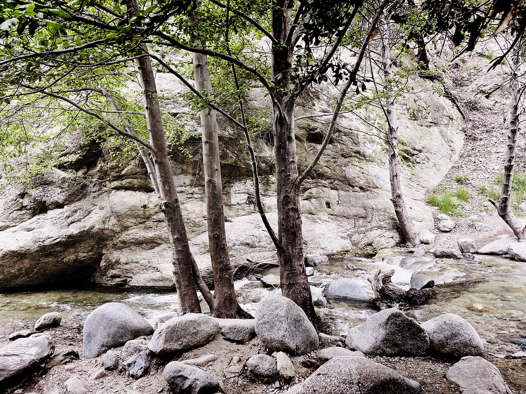 Altadena Crest TrailHiking · ~3 min drivePhoto: JingKe888, CC BY 2.0 (via Flickr)
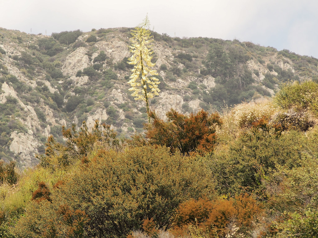 Lone Tree Pavilion TrailHiking · ~3 min drivePhoto: JingKe888, CC BY 2.0 (via Flickr)Mount Wilson TrailHiking · ~4 min drivePhoto: InSapphoWeTrust from Los Angeles, California, USA, CC BY-SA 2.0 (via Wikimedia Commons)
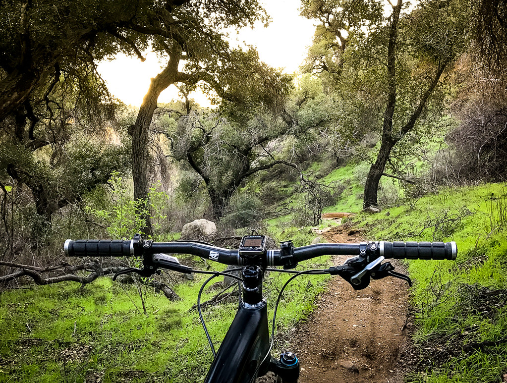 Sunset Ridge TrailHiking · ~6 min drivePhoto: Perfect Zero, CC BY 2.0 (via Flickr)
 One Man & Mule TrailHiking · ~3 min drivePhoto: mjhbower, CC BY-SA 2.0 (via Flickr)
Map and trail data © OpenStreetMap contributors

