
Nauman Tentsite
Campground
2.4 mi from the trail
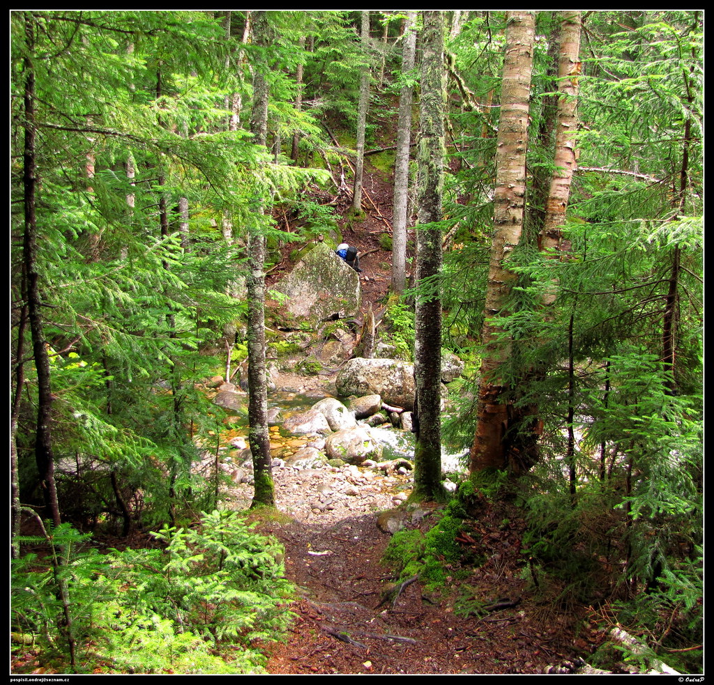 Photo: ondraposp, CC BY-SA 2.0 (via Flickr)
The Mount Clinton Trail is a 5.4-mile out-and-back hike in the Presidential Range-Dry River Wilderness, part of the Saco Ranger District of the White Mountain National Forest in northern New Hampshire. The Forest Service manages the land, and the trail is rated moderate, with a total elevation gain of about 1,966 feet. The route starts at roughly 1,926 feet and climbs to a high point of 3,792 feet, with the steepest stretch coming around mile 2.4, where the grade reaches about 26%. The climb is rolling rather than steep in one place, and the trail is natural-surfaced. Bikes are not allowed, and the trail is not accessible. The trip takes about three hours, and the trail is open year-round. The Cohos Trail lies about 1.7 miles away, and the Mount Eisenhower Trail is about 2 miles off. For an overnight stay, Nauman Tentsite is about 2.4 miles away. Climbers can head to Main Slab, also about 2.4 miles away.
Where it is: Presidential Range-Dry River Wilderness · Saco Ranger District
Near: Berlin
Been here? Tell people how it was.
 Dry River TrailHikingPhoto: ondraposp, CC BY-SA 2.0 (via Flickr)~3 min drive
 Webster-Jackson TrailHikingPhoto: Ktr101, CC BY-SA 2.0 (via Flickr)~4 min driveWebster Cliff TrailHikingPhoto: Ktr101, CC BY-SA 2.0 (via Flickr)~4 min drive
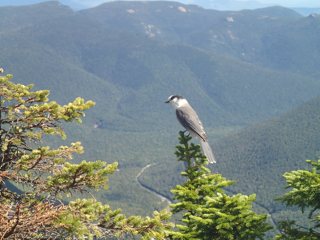 ETHAN POND TRAILHikingPhoto: Northfoot Adventures, CC BY 2.0 (via Flickr)~6 min drive
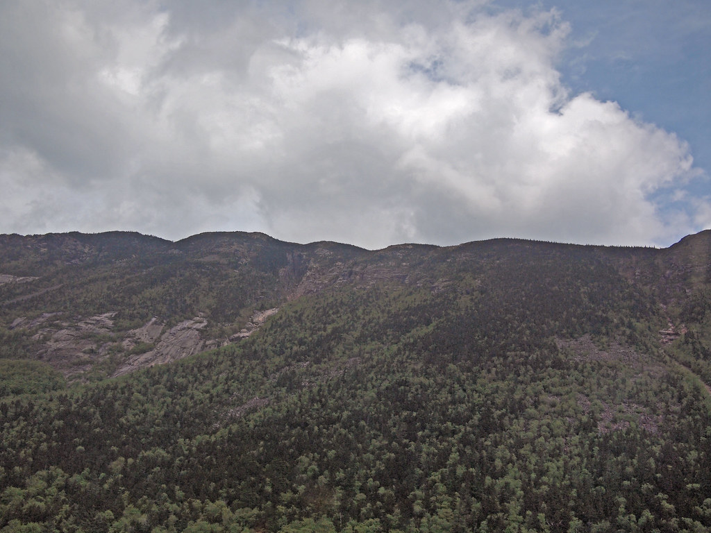 Saco River TrailHikingPhoto: rickpilot_2000, CC BY 2.0 (via Flickr)~4 min drive
 A-ZHikingPhoto: Cliff from Arlington, Virginia, USA, CC BY 2.0 (via Wikimedia Commons)~8 min drive
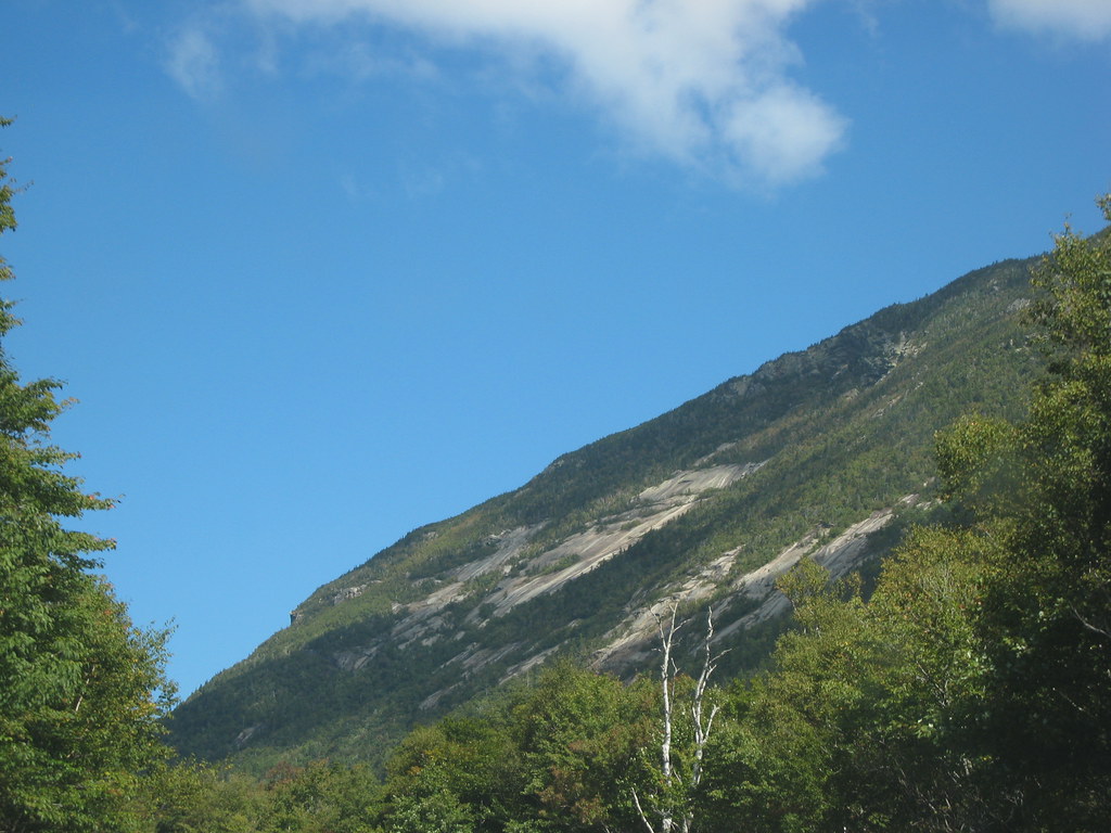 Westside TrailHikingPhoto: msprague, CC BY-SA 2.0 (via Flickr)~4 min drive
 CRAWFORD PATHHikingPhoto: Ktr101, CC BY-SA 2.0 (via Flickr)~5 min driveSam Willey TrailHikingPhoto: msprague, CC BY-SA 2.0 (via Flickr)~4 min drive
Also worth it near here
 Mount WebsterSummitPhoto: Edison490 at English Wikipedia, Public domain (via Wikimedia Commons)~4 min drive
 Ethan & Abel SlabsRock climbingPhoto: Bob Linsdell, CC BY 3.0 (via Wikimedia Commons)~5 min drive
 Arethusa FallsWaterfallPhoto: Wgreaves, CC BY-SA 4.0 (via Wikimedia Commons)~6 min drive
Daily highs and lows, wind and the chance of precipitation at Start for the next 7 days, from the Open-Meteo model.
Questions about Mount Clinton Trail: conditions, access, timing. Answers say when something isn't known.
Nauman Tentsite
Campground
 If it rainsKen Gallager, CC BY-SA 4.0 · Wikimedia Commons
Places © OpenStreetMap contributors, Places © Overture Maps Foundation · Photos: Ken Gallager, CC BY-SA 4.0 (commons)
More in North Conway