Dry River Campground
Campground
Campground · 1.6 mi from the trail
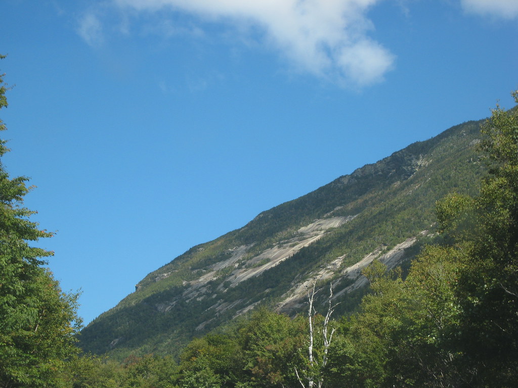 Photo: msprague, CC BY-SA 2.0 (via Flickr)
Closure in the area
There's a closure order in Appalachian National Scenic Trail. It doesn't name Westside Trail, so check the source for the area it covers.
List of trail closures post-Hurricane Helene
Park closure covering Appalachian National Scenic Trail · NPS · Appalachian National Scenic Trail
Black Bears Frequenting the McAfee Knob Area in Virginia
Park alert covering Appalachian National Scenic Trail · NPS · Appalachian National Scenic Trail
As of · Source: NPS · Appalachian National Scenic Trail. Agencies don't list every closure — check before you go.
Westside Trail is a 2-mile out-and-back hike in New Hampshire, set within the Appalachian National Scenic Trail corridor. The trail starts at about 1,305 feet and climbs to a high point of 1,574 feet, with a total elevation gain of 969 feet over the round trip. The steepest stretch comes early, at about 0.15 miles from the start, where the grade reaches 17%. Summer is the most comfortable time to go. Typical averages from the nearby Pinkham Notch weather station, which sits about 450 feet lower, show July highs around 75°F with lows near 53°F. That station's figures run a bit warmer than the trail's own elevation, so expect cooler temperatures on the higher ground. The hike takes about an hour. The Saco River Trail and the Arethusa-Ripley Falls Trail both lie within a third of a mile, and the Kedron Flume Trail is under a mile away. Climbers can find Main Slab about 1.3 miles off.
Dry River Campground
Campground
 If it rainsKen Gallager, CC BY-SA 4.0 · Wikimedia Commons
Places © OpenStreetMap contributors, Places © Overture Maps Foundation · Photos: Ken Gallager, CC BY-SA 4.0 (commons)
More in North Conway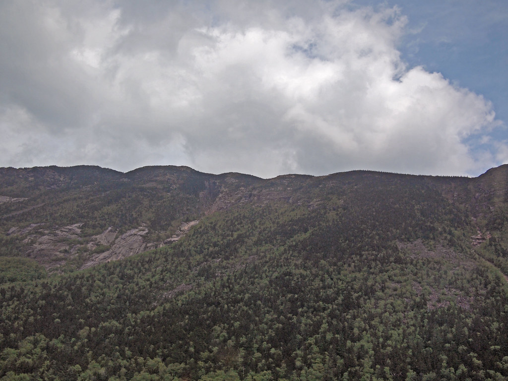 Saco River TrailHikingPhoto: rickpilot_2000, CC BY 2.0 (via Flickr)0.2 miArethusa-Ripley Falls TrailHikingPhoto: rickpilot_2000, CC BY 2.0 (via Flickr)0.3 mi
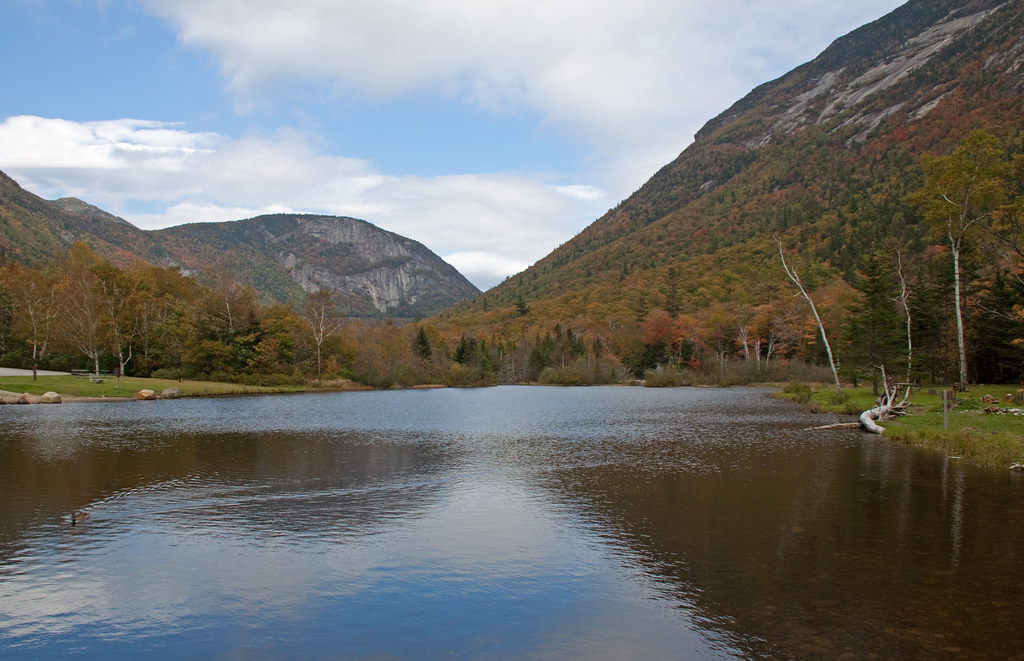 Kedron Flume TrailHikingPhoto: ahisgett, CC BY 2.0 (via Flickr)0.8 mi
 Omni Mount Washington Resort, Bretton WoodsLake fishing7.1 mi
Source: Roamze catalog (indexable pages within 10 miles, PostGIS distance)
Saco River TrailHiking · Next doorPhoto: rickpilot_2000, CC BY 2.0 (via Flickr)Arethusa-Ripley Falls TrailHiking · Next doorPhoto: rickpilot_2000, CC BY 2.0 (via Flickr) ETHAN POND TRAILHiking · ~2 min drivePhoto: Northfoot Adventures, CC BY 2.0 (via Flickr)
 Webster-Jackson TrailHiking · ~3 min drivePhoto: Ktr101, CC BY-SA 2.0 (via Flickr)Sam Willey TrailHiking · ~1 min drivePhoto: msprague, CC BY-SA 2.0 (via Flickr)
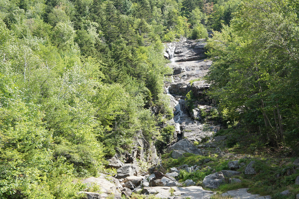 Willey Range TrailHiking · ~2 min drivePhoto: JimboRocks, CC BY-SA 2.0 (via Flickr)
 CRAWFORD PATHHiking · ~7 min drivePhoto: Ktr101, CC BY-SA 2.0 (via Flickr)
 A-ZHiking · ~6 min drivePhoto: Cliff from Arlington, Virginia, USA, CC BY 2.0 (via Wikimedia Commons)Kedron Flume TrailHiking · ~1 min drivePhoto: ahisgett, CC BY 2.0 (via Flickr)
 Frankenstein Cliff TrailHiking · ~2 min drivePhoto: Bob Linsdell, CC BY 2.0 (via Flickr)
Also worth it near here
 Arethusa FallsWaterfall · ~3 min drivePhoto: Wgreaves, CC BY-SA 4.0 (via Wikimedia Commons)
 Mount WilleySummit · ~3 min drivePhoto: wwoods, CC BY-SA 3.0 (via Wikimedia Commons)
 Ethan & Abel SlabsRock climbing · ~3 min drivePhoto: Bob Linsdell, CC BY 3.0 (via Wikimedia Commons)
Best months: September. Best months have typical highs of 55–85 °F, lows of 30 °F or warmer (32 °F where the station doesn't record snow), at most one snowy day and no more than 12 wet days.
Jan
26° / 6°
14 wet
Feb
28° / 7°
13 wet
Mar
36° / 15°
14 wet
Apr
49° / 27°
13 wet
May
62° / 39°
15 wet
Jun
70° / 48°
14 wet
Jul
75° / 53°
14 wet
Aug
74° / 52°
13 wet
Sep
68° / 45°
12 wet
Oct
54° / 35°
14 wet
Nov
42° / 24°
14 wet
Dec
31° / 14°
16 wet
Typical high / low (°F) and days with rain or snow, 1991–2020. Measured at Pinkham Notch, NH, 9 mi away at 2,025 ft. This station doesn't record snowfall. Source: NOAA NCEI U.S. Climate Normals 1991–2020.
Map and trail data © OpenStreetMap contributors
