Dry River Campground
Campground
Campground · 0.5 mi from the trail
 Photo: ondraposp, CC BY-SA 2.0 (via Flickr)
Dry River Trail is a short out-and-back hike in New Hampshire covering 0.98 miles with 104 feet of elevation gain. The trail reaches a maximum elevation of 1,331 feet.
Dry River Campground
Campground
 If it rainsKen Gallager, CC BY-SA 4.0 · Wikimedia Commons
Places © OpenStreetMap contributors, Places © Overture Maps Foundation · Photos: Ken Gallager, CC BY-SA 4.0 (commons)
More in North Conway Frankenstein Cliff TrailHiking · ~2 min drivePhoto: Bob Linsdell, CC BY 2.0 (via Flickr)Bemis Brook TrailHiking · ~2 min drivePhoto: Bob Linsdell, CC BY 2.0 (via Flickr)
 Webster-Jackson TrailHiking · ~5 min drivePhoto: Ktr101, CC BY-SA 2.0 (via Flickr)
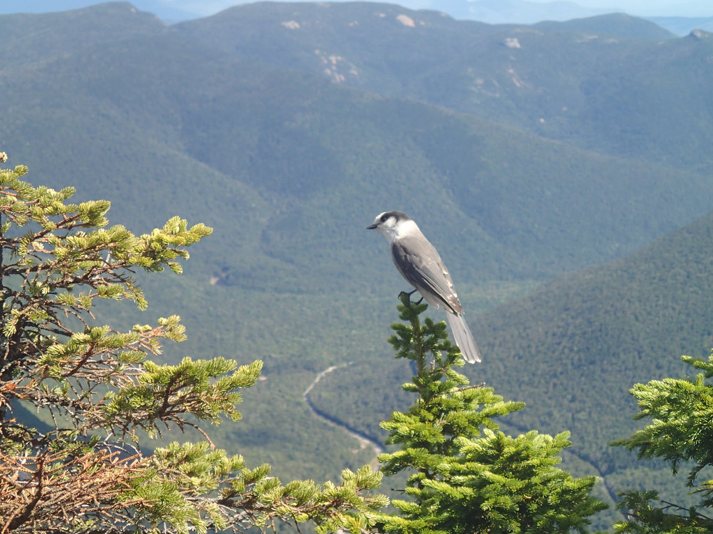 ETHAN POND TRAILHiking · ~5 min drivePhoto: Northfoot Adventures, CC BY 2.0 (via Flickr)
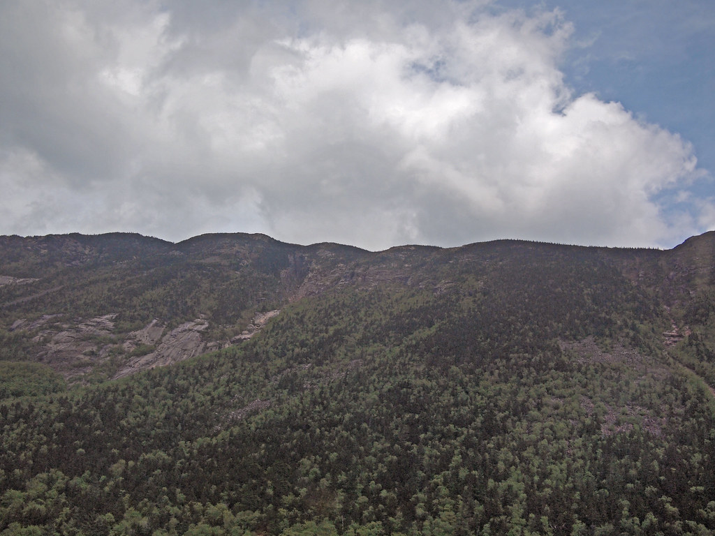 Arethusa-Ripley Falls TrailHiking · ~3 min drivePhoto: rickpilot_2000, CC BY 2.0 (via Flickr)Saco River TrailHiking · ~2 min drivePhoto: rickpilot_2000, CC BY 2.0 (via Flickr)
 A-ZHiking · ~8 min drivePhoto: Cliff from Arlington, Virginia, USA, CC BY 2.0 (via Wikimedia Commons)
 CRAWFORD PATHHiking · ~8 min drivePhoto: Ktr101, CC BY-SA 2.0 (via Flickr)
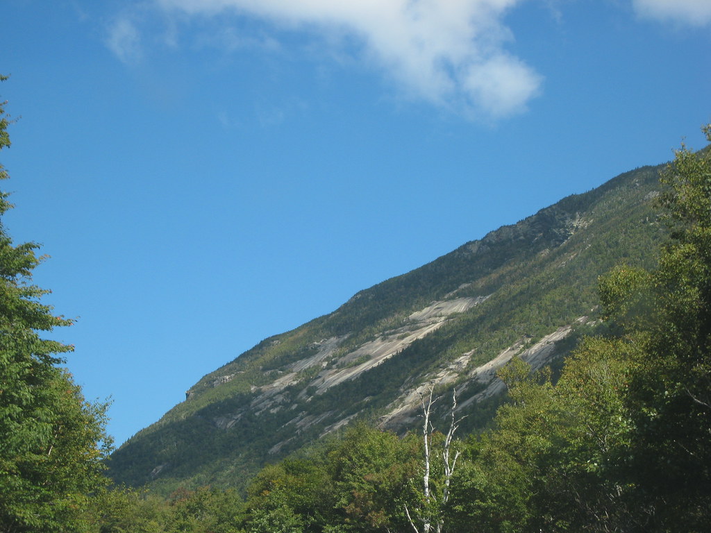 Westside TrailHiking · ~3 min drivePhoto: msprague, CC BY-SA 2.0 (via Flickr)
 Arethusa FallsHiking · ~3 min drivePhoto: Bob Linsdell, CC BY 2.0 (via Flickr)
Best months: September. Best months have typical highs of 55–85 °F, lows of 30 °F or warmer (32 °F where the station doesn't record snow), at most one snowy day and no more than 12 wet days.
Jan
26° / 6°
14 wet
Feb
28° / 7°
13 wet
Mar
36° / 15°
14 wet
Apr
49° / 27°
13 wet
May
62° / 39°
15 wet
Jun
70° / 48°
14 wet
Jul
75° / 53°
14 wet
Aug
74° / 52°
13 wet
Sep
68° / 45°
12 wet
Oct
54° / 35°
14 wet
Nov
42° / 24°
14 wet
Dec
31° / 14°
16 wet
Typical high / low (°F) and days with rain or snow, 1991–2020. Measured at Pinkham Notch, NH, 8.4 mi away at 2,025 ft. The station sits about 700 ft higher than this place, so expect it a little warmer here. This station doesn't record snowfall. Source: NOAA NCEI U.S. Climate Normals 1991–2020.
Map and trail data © OpenStreetMap contributors


