Jones Creek
At a glance
Jones Creek is a moderate out-and-back hike in the Bozeman Ranger District of Custer Gallatin National Forest in Montana, about 3.3 miles long with a one-way elevation gain of 1,071 feet. The trail rises from a low point of about 5,429 feet to a high of about 6,503 feet, and it is open year-round. Summer is the most comfortable time to go. Typical averages from a nearby weather station in Bozeman show July highs around 82°F with lows near 52°F, and snow is common from November through April. That station sits roughly 1,600 feet lower than the trail's high point, so temperatures on the ridge run cooler. The trail is on natural surface, and it is open to both horses and bikes. Truman Gulch Trail lies about 0.6 miles away, and Bostwick Canyon is about 2 miles off. Climbers can head to The Bud Wall, about 2.1 miles away, and Battle Ridge Cabin offers camping about 5 miles from the trail.
- round trip
- 3.3 mi
- climb
- 1,071 ft
- high point
- 6,503 ft
- route
- Out and back
- time
- About 1.5 hours
- best months
- Early May–early Jul, mid-Aug–mid-Oct
Where it is: Bozeman Ranger District · Custer Gallatin National Forest
Near: Bozeman
Best weeks to go
Early May to early July and mid-August to mid-October are usually best for hiking here.
Typical highs of 60–80°F and lows of 34°F or warmer in those weeks. Rain falls on about 55% of days at the wettest of them, so plan around showers.
Typical weather: NOAA 1991–2020 normals at Bozeman Montana State Univ, MT, 12 mi away. Not a forecast.
Typical weather by monthBest time to visit Jones Creek
Best months: May–June and September. Best months are the ones mostly made of the best weeks for hiking: typical temperatures in its comfortable range, few snowy days and not usually wet, judged with the same limits as our good-day forecasts.
Jan
34°
15°
11 wet · 9 snow
Feb
37°
17°
10 wet · 8 snow
Mar
46°
24°
12 wet · 9 snow
Apr
54°
30°
13 wet · 6 snow
May
63°
39°
15 wet · 2 snow
Jun
72°
46°
15 wet
Jul
82°
52°
11 wet
Aug
81°
50°
10 wet
Sep
71°
42°
9 wet · 1 snow
Oct
57°
32°
10 wet · 3 snow
Nov
42°
22°
10 wet · 7 snow
Dec
33°
14°
11 wet · 9 snow
Typical high / low (°F) and days with rain or snow, 1991–2020. Measured at Bozeman Montana State Univ, MT, 12.1 mi away at 4,913 ft. The station sits about 1,600 ft lower than this place, so expect it a little cooler here. Source: NOAA NCEI U.S. Climate Normals 1991–2020.
Been here? Tell people how it was.
- Truman Gulch TrailHiking0.6 mi
- Bridger Foothills TrailMountain biking1.3 mi
- Bostwick CanyonHiking2 mi
- The Bud WallRock climbing2.1 mi
- Wolverine BowlRock climbing2.1 mi
- Battle Ridge CabinCamping5.2 mi
- Fairy LakeCamping5.3 mi
 East Gallatin RiverCanoeingPhoto: Mike Cline, Public domain (via Wikimedia Commons)8.2 mi
 Meadow Loop (North)HikingPhoto: Matt Lavin, CC BY-SA 2.0 (via Flickr)~7 min drive
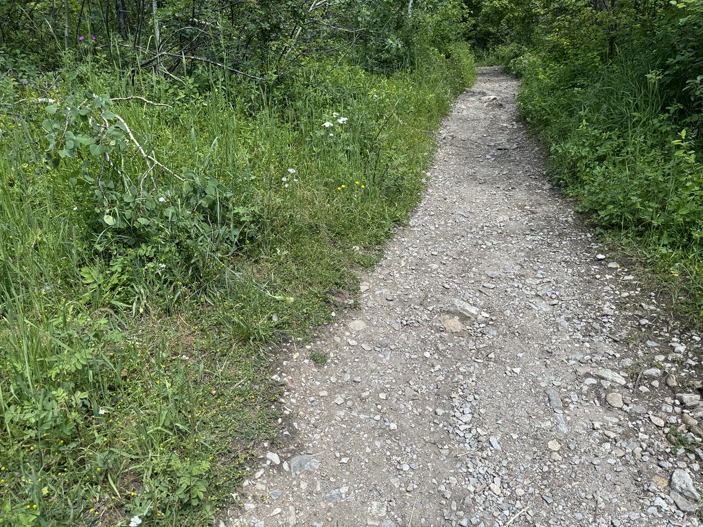 Middle Cottonwood TrailHikingPhoto: Matt Lavin, CC BY-SA 2.0 (via Flickr)~8 min drive
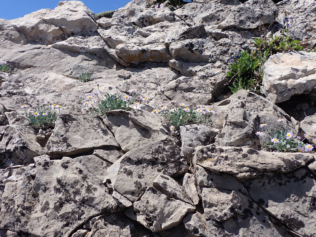 East Bridger SouthHikingPhoto: Matt Lavin, CC BY-SA 2.0 (via Flickr)~7 min drive
 Fairy Creek TrailHikingPhoto: Forest Service - Northern Region, Public Domain Mark (via Flickr)~10 min drive
 College M ShortcutHikingPhoto: Matt Lavin, CC BY-SA 2.0 (via Flickr)~14 min drive
 Sypes CanyonHikingPhoto: Carly Lesser & Art Drauglis from Washington, DC, CC BY-SA 2.0 (via Wikimedia Commons)~10 min drive
 North CottonwoodHikingPhoto: Matt Lavin, CC BY-SA 2.0 (via Flickr)~12 min drive
- Corbly Gulch TrailHiking~5 min drive
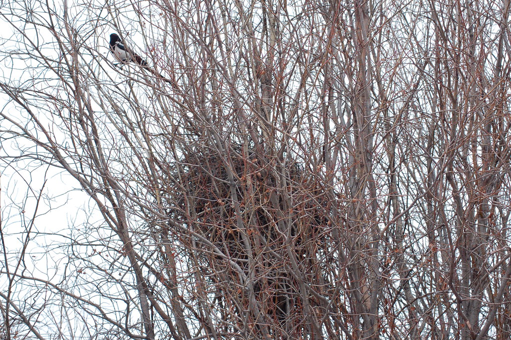 Drinking Horse MountainHikingPhoto: Don Henise, CC BY 2.0 (via Flickr)~15 min drive
 Nya-Nuki Trail SystemHikingPhoto: Matt Lavin, CC BY-SA 2.0 (via Flickr)~12 min drive
Conditions and forecast
Caution at last checkAgency alerts are in effect for this areaUSFS · checked 13 h agoDaily highs and lows, wind and the chance of precipitation at Start for the next 7 days, from the Open-Meteo model.
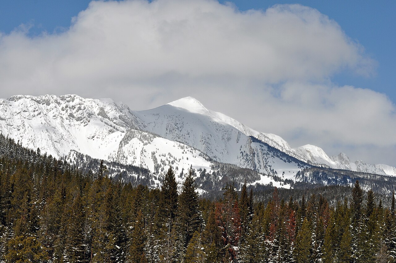
Ask about this place
Questions about Jones Creek: conditions, access, timing. Answers say when something isn't known.
Local outfitters
- Yellowstone Safari Company10 mi away
Not on Roamze yet. Their page has how to reach them.
