The Sawmill Station
Hiking business nearby (~32 mi away) — hasn't claimed their Roamze page yet
Idaho
Free — you'll pick up right here.
9.9 mi
Distance
760 ft
Gain
We won't guess. Here is exactly what we do and don't know.
What we do know
Inside Salmon-Challis National Forest
2 managing-area boundaries mapped — agency alerts for them feed this page automatically.
Boundary data
What's missing
No access route mapped
We don't yet know which road reaches this trailhead, so we can't tell you if it's gated.
Nobody's filed a report here yet — be the first.
Why you'll love it
Blue Lake
Suggested plan · check conditions before you go
Blue Lake is a 9.95-mile out-and-back trail in Idaho with 760 feet of elevation gain. The route follows a straightforward path to the lake and returns via the same trail.
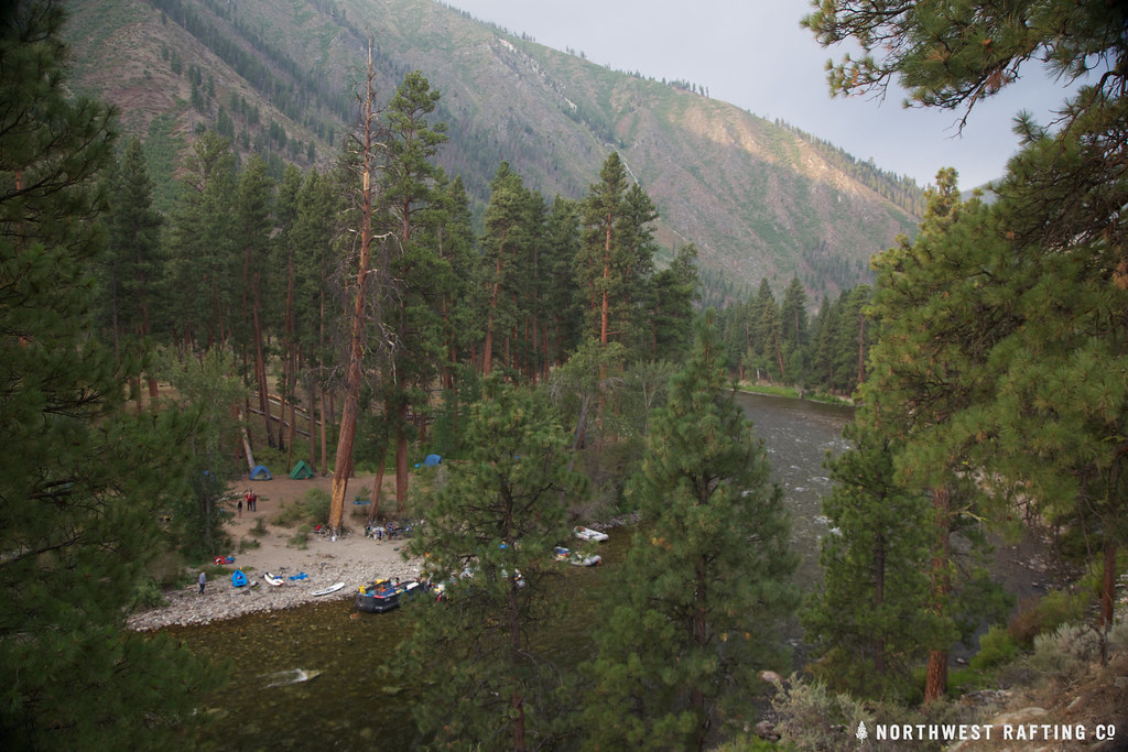 Photo: Northwest Rafting Company, CC BY 2.0 (via Flickr)
Middle Fork Trail
~17 min drive
1.56-mile out-and-back trail in Idaho with 172 ft elevation gain/loss.
Photo: Northwest Rafting Company, CC BY 2.0 (via Flickr)Norton Lake
~18 min drive
38.80-mile out-and-back trail in Idaho with 4,685 ft elevation gain.
Horse Ladder
~7 min drive
11.28-mile out-and-back trail in Idaho with 3,853 ft elevation gain.
Sheep Creek
~15 min drive
5.93-mile out-and-back trail in Idaho with 2,122 ft elevation gain.
Jack Creek Trail
~11 min drive
12.16-mile out-and-back trail in Idaho with 4,956 ft elevation gain and loss.
Beaver-Trail Creek
~13 min drive
1.18-mile out-and-back trail in Idaho with 19 ft gain and 284 ft loss.
Photo: Northwest Rafting Company, CC BY 2.0 (via Flickr)Middle Fork East
~18 min drive
24.99-mile out-and-back trail in Idaho with 117 ft of elevation gain.
Fish Lake
~15 min drive
3.99-mile out-and-back trail to Fish Lake in Idaho with 1,242 ft of elevation gain.
West Fork Thomas Creek Trail
~18 min drive
11-mile out-and-back trail in Idaho with 4,989 ft elevation gain and loss.
Jack Creek Spur 1
~17 min drive
1.56-mile out-and-back trail in Idaho with 532 ft elevation gain.
Local operatorsoffering guided trips. You book directly with them — Roamze doesn’t take a cut.
The Sawmill Station
Hiking business nearby (~32 mi away) — hasn't claimed their Roamze page yet
Camp Perkins
Hiking business nearby (~46 mi away) — hasn't claimed their Roamze page yet
