
Windy Gap - A Young Life Camp
Campground
6.7 mi from the trail
 Photo: A. Duarte, CC BY-SA 2.0 (via Flickr)
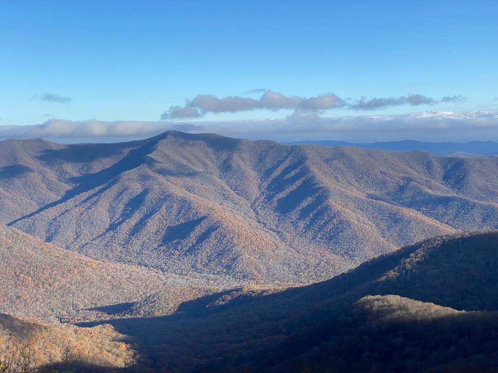
Snowball is a hard, out-and-back hike on the Blue Ridge Parkway in North Carolina, which runs within the National Forests in North Carolina and the Appalachian Ranger District. The National Park Service manages the land, and the route begins at the Bee Tree Gap at MP 367.6 trailhead. The climb is steady, reaching a high point of 5,361 feet, and the total round-trip gain is 2,650 feet. The steepest stretch comes at about 0.96 miles in, with a 30% grade. The hike is about 7 miles long and takes roughly 3.5 hours. There is no fee, and the trail is natural-surface, and bikes are allowed. The most comfortable time to go is late summer into early fall. Typical averages from the Mt Mitchell weather station, about 8 miles away, show September highs near 61°F and October highs around 54°F. That station sits higher than the trail, so temperatures here run somewhat warmer. Craggy Pinnacle Trail lies about 1.4 miles away, and Douglas Falls is about 2.4 miles off. Paddlers can reach the North Fork Swannanoa River about 3.6 miles away, and climbers will find Snake's Den about 4.6 miles away.
Where it is: Appalachian Ranger District · Blue Ridge Parkway
Near: Asheville
Best months: September. Best months have typical highs of 55–85 °F, lows of 30 °F or warmer (32 °F where the station doesn't record snow), at most one snowy day and no more than 12 wet days.
Jan
34°
17°
14 wet
Feb
36°
18°
13 wet
Mar
41°
24°
14 wet
Apr
50°
32°
13 wet
May
58°
41°
14 wet
Jun
64°
49°
16 wet
Jul
67°
52°
18 wet
Aug
66°
51°
16 wet
Sep
61°
46°
12 wet
Oct
54°
37°
11 wet
Nov
45°
28°
10 wet
Dec
38°
21°
13 wet
Typical high / low (°F) and days with rain or snow, 1991–2020. Measured at Mt Mitchell, NC, 8.2 mi away at 6,240 ft. The station sits about 900 ft higher than this place, so expect it a little warmer here. This station doesn't record snowfall. Source: NOAA NCEI U.S. Climate Normals 1991–2020.
Been here? Tell people how it was.
 Craggy Pinnacle TrailHikingPhoto: A. Duarte, CC BY-SA 2.0 (via Flickr)1.4 mi
 Reese TrailHikingPhoto: daveynin, CC BY 2.0 (via Flickr)1.9 miCraggy Pinnacle TrailHikingPhoto: A. Duarte, CC BY-SA 2.0 (via Flickr)~2 min drive
 Stair CreekHikingPhoto: Scott Teresi, CC BY-SA 2.0 (via Flickr)~7 min driveBig ButtHikingPhoto: Scott Teresi, CC BY-SA 2.0 (via Flickr)~8 min driveReese TrailHikingPhoto: daveynin, CC BY 2.0 (via Flickr)~3 min driveStaire CreekHikingPhoto: Scott Teresi, CC BY-SA 2.0 (via Flickr)~7 min drive
 Bear PenHikingPhoto: pmuellr, CC BY 2.0 (via Flickr)~7 min drive
 PerkinsHikingPhoto: Scott Teresi, CC BY-SA 2.0 (via Flickr)~7 min drive
Daily highs and lows, wind and the chance of precipitation at the summit and route start for the next 7 days, from the Open-Meteo model.
Questions about Snowball: conditions, access, timing. Answers say when something isn't known.
Windy Gap - A Young Life Camp
Campground
 If it rainsDavidhuffcreative, CC BY-SA 4.0 · Wikimedia Commons
Places © OpenStreetMap contributors, Places © Overture Maps Foundation · Photos: Davidhuffcreative, CC BY-SA 4.0 (commons)
More in Spruce PineNot on Roamze yet. Their page has how to reach them.
About 7.0 mi round trip from Bee Tree Gap at MP 367.6 Trailhead (about 4,882 ft).
About 2,650 ft of climbing round trip.
It is rated hard.
Bee Tree Gap at MP 367.6 Trailhead (about 4,882 ft).
About 3 hours round trip.
Year-round.
