
Black Bear Cabin
Campground
< 0.1 mi from the trail
 Photo: cogdogblog, CC BY 2.0 (via Flickr)
Mesa Creek is a hard out-and-back hike of about 2.6 miles on Forest Service land in Colorado's Grand Valley Ranger District, part of the Grand Mesa, Uncompahgre and Gunnison National Forests. The trail climbs roughly 960 feet one way, with the high point at 9,771 feet and the low point at 8,803 feet. The steepest stretch comes at about mile 0.98, where the grade reaches 27 percent. Summer is the most comfortable time to go. Typical averages from a nearby weather station at about the same elevation put July highs around 68°F with lows near 42°F, and the trail is open seasonally from July 1 to September 30. The trip starts at the OLD MESA SKI HILL parking, and the hike is estimated to take about two hours. The Moose Manor Cabin is just 0.1 mile away, and Jumbo Campground is 0.4 mile off. The West Bench hike is 0.5 mile away and the Glacier Springs Cutoff mountain biking route is 0.6 mile away.
Where it is: Grand Valley Ranger District · Grand Mesa, Uncompahgre and Gunnison National Forests
Near: Grand Junction
Best months: June–September. Best months have typical highs of 55–85 °F, lows of 30 °F or warmer (32 °F where the station doesn't record snow), at most one snowy day and no more than 12 wet days.
Jan
26°
6°
Feb
27°
4°
Mar
34°
12°
Apr
40°
17°
May
49°
27°
Jun
62°
37°
Jul
68°
42°
Aug
64°
40°
Sep
57°
34°
Oct
45°
24°
Nov
34°
14°
Dec
26°
5°
Typical high / low (°F) and days with rain or snow, 1991–2020. Measured at Bonham Rsvr, CO, 11.4 mi away at 9,852 ft. This station doesn't record snowfall. Source: NOAA NCEI U.S. Climate Normals 1991–2020.
Been here? Tell people how it was.
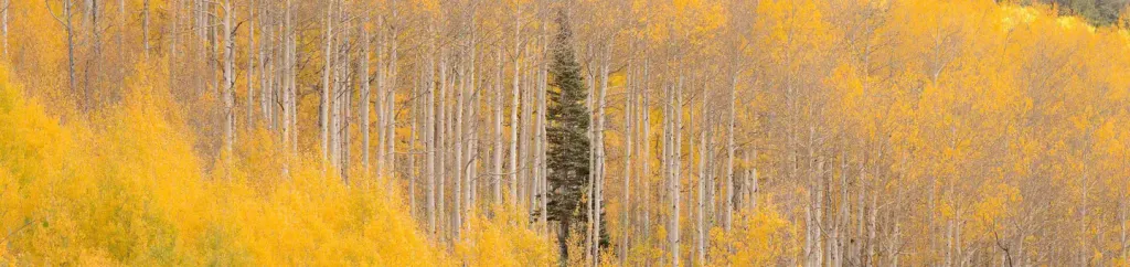 Jumbo CampgroundCampingPhoto: Recreation.gov (RIDB) / public domain0.4 mi
 West BenchHikingPhoto: halseike, CC BY 2.0 (via Flickr)0.5 miGlacier Springs Cutoff TrailHikingPhoto: cogdogblog, CC BY 2.0 (via Flickr)~1 min drive
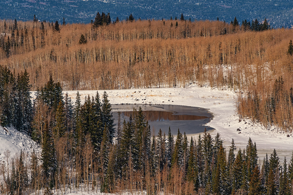 Kannah CrossingHikingPhoto: Tony Webster, CC BY 2.0 (via Flickr)~4 min drive
 Mesa TopHikingPhoto: KimonBerlin, CC BY-SA 2.0 (via Flickr)~6 min driveCrum Reservoir TrailHikingPhoto: cogdogblog, CC BY 2.0 (via Flickr)~1 min driveScales LakeHikingPhoto: Tony Webster, CC BY 2.0 (via Flickr)~4 min driveWest BenchHikingPhoto: halseike, CC BY 2.0 (via Flickr)Next door
 GRIFFITH SKI CUTOFFHikingPhoto: Moo.The.Cow, CC BY 2.0 (via Flickr)~3 min drive
 OverlookHikingPhoto: KimonBerlin, CC BY-SA 2.0 (via Flickr)~7 min driveGRIFFITH SKI LOOPHikingPhoto: Moo.The.Cow, CC BY 2.0 (via Flickr)~4 min driveLionsHikingPhoto: Tony Webster, CC BY 2.0 (via Flickr)~3 min drive
Daily highs and lows, wind and the chance of precipitation at Start for the next 7 days, from the Open-Meteo model.
Questions about Mesa Creek: conditions, access, timing. Answers say when something isn't known.
Black Bear Cabin
Campground
 If it rainsJeffrey Beall, CC BY-SA 3.0 · Wikimedia Commons
Places © OpenStreetMap contributors, Places © Overture Maps Foundation · Photos: Jeffrey Beall, CC BY-SA 3.0 (commons)
More in CliftonNot on Roamze yet. Their page has how to reach them.
