Mt. Lassic
At a glance
Mt. Lassic is a short, easy out-and-back hike in California's Six Rivers National Forest, within the Mad River Ranger District. The trail rises about 313 feet from a low point of 5,597 feet to a high point of 5,859 feet, covering roughly 1.5 miles round trip. The Forest Service manages the land, and the route is on natural surface with no designated bike access. The Mount Lassic Trail lies about 0.3 miles away and makes a natural pairing for a longer outing. The West Fork Van Duzen River, about 3.6 miles off, offers canoeing, and the Devils Backbone hike is about 4.6 miles away. For an overnight stay, Mad River Campground sits about 6.4 miles from the summit.
- round trip
- 1.5 mi
- climb
- 313 ft
- high point
- 5,859 ft
- route
- Out and back
Where it is: Mad River Ranger District · Six Rivers National Forest
Near: Redway
Been here? Tell people how it was.
- Mount Lassic TrailHiking0.3 mi
- West Fork Van Duzen RiverCanoeing3.6 mi
- GREEN MOUNTAINHiking3.6 mi
- Devils BackboneHiking4.6 mi
- Little Van Duzen RiverCanoeing5.4 mi
- North Dobbyn CreekCanoeing6.3 mi
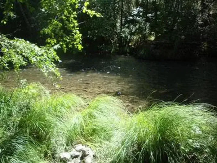 Mad River CampgroundCampingPhoto: Recreation.gov (RIDB) / public domain6.4 mi
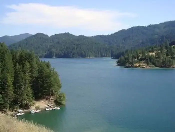 Fir Cove CampgroundCampingPhoto: Recreation.gov (RIDB) / public domain7.5 mi
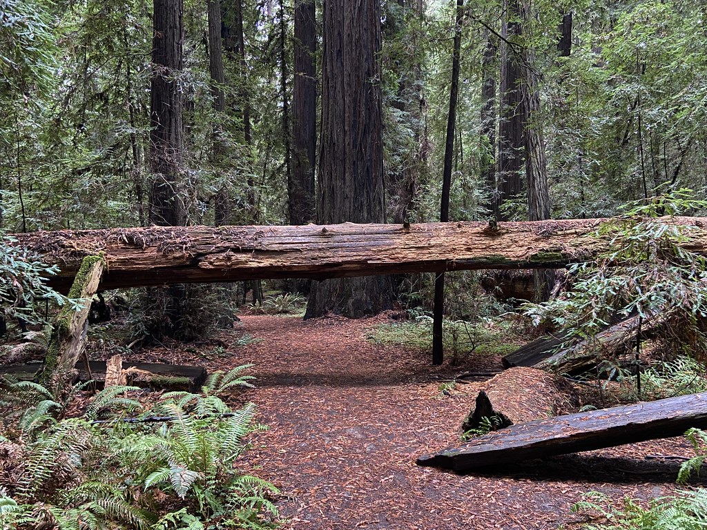 Jensen Grove TrailHikingPhoto: btwashburn, CC BY 2.0 (via Flickr)~27 min drive
 Rough GulchHikingPhoto: Jesse Palmer, CC BY-SA 2.0 (via Flickr)~27 min drive
- Dry Creek TrailHikingPhoto: btwashburn, CC BY 2.0 (via Flickr)~27 min drive
- South Fork Trinity River TrailHiking~29 min drive
- Stephens Grove Loop TrailHikingPhoto: btwashburn, CC BY 2.0 (via Flickr)~27 min drive
 Smoky CreekHikingPhoto: aspidoscelis, Public Domain Dedication (CC0) (via Flickr)~30 min drive
- HORSE MOUNTAIN LOOKOUTHikingPhoto: Jesse Palmer, CC BY-SA 2.0 (via Flickr)~27 min drive
- South Fork National Recreation TrailHiking~24 min drive
- Mount Lassic TrailHikingNext door
- Marble CavesHiking~20 min drive
Conditions and forecast on Signal Peak
Caution todayAgency alerts are in effect for this areaUSFS · checked 4 min agoDaily highs and lows, wind and the chance of precipitation at the summit and route start for the next 7 days, from the Open-Meteo model.

Ask about this place
Questions about Mt. Lassic: conditions, access, timing. Answers say when something isn't known.
Questions about this route
How long is the Mt. Lassic on Signal Peak?
About 1.5 mi round trip.
How much elevation gain is on the Mt. Lassic?
About 313 ft of climbing round trip.
How hard is the Mt. Lassic?
It is rated easy.
