Mount Lassic Trail
- 0.4 mi
- round trip
- 345 ft
- climb
- 5,752 ft
- high point
- Out and back
- route
Is Mount Lassic Trail open right now?
No closures listed
The Forest Service lists no closures for Six Rivers National Forest.
As of · Source: USFS · Six Rivers National Forest. Agencies don't list every closure — check before you go.
The Mount Lassic Trail is a short out-and-back hike of about 0.7 miles in the Mount Lassic Wilderness, part of the Mad River Ranger District of Six Rivers National Forest in California. The trail starts at about 5,718 feet and reaches a high point of 5,752 feet, with a total climb of 345 feet and a total descent of 345 feet over the course of the round trip. The steepest stretch, with a grade of about 11%, comes within the first 0.05 miles of the route. The Forest Service manages the land. The trail lies entirely within designated wilderness, so it is a backcountry outing rather than a day on a developed forest road. The trip takes about half an hour, making it a quick way to stretch legs before or after exploring other parts of the area. Mt. Lassic, another hike, sits just 0.3 miles away. For paddling, the West Fork Van Duzen River and the Little Van Duzen River are both within about 5 miles. Mad River Campground, roughly 6.6 miles away, offers a place to stay overnight.
- Mt. LassicHiking0.3 mi
- West Fork Van Duzen RiverCanoeing3.9 mi
- GREEN MOUNTAINHiking3.9 mi
- Devils BackboneHiking4.9 mi
- Little Van Duzen RiverCanoeing5.2 mi
- North Dobbyn CreekCanoeing6.3 mi
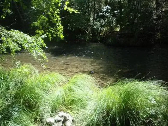 Mad River CampgroundCampingPhoto: Recreation.gov (RIDB) / public domain6.6 mi
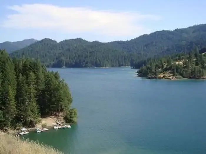 Fir Cove CampgroundCampingPhoto: Recreation.gov (RIDB) / public domain7.8 mi
Source: Roamze catalog (indexable pages within 10 miles, PostGIS distance)
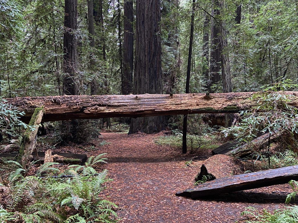 Jensen Grove TrailHiking · ~26 min drivePhoto: btwashburn, CC BY 2.0 (via Flickr)
- Dry Creek TrailHiking · ~27 min drivePhoto: btwashburn, CC BY 2.0 (via Flickr)
 Rough GulchHiking · ~27 min drivePhoto: Jesse Palmer, CC BY-SA 2.0 (via Flickr)
- South Fork National Recreation TrailHiking · ~24 min drive
- Stephens Grove Loop TrailHiking · ~27 min drivePhoto: btwashburn, CC BY 2.0 (via Flickr)
- HORSE MOUNTAIN LOOKOUTHiking · ~28 min drivePhoto: Jesse Palmer, CC BY-SA 2.0 (via Flickr)
 Smoky CreekHiking · ~30 min drivePhoto: aspidoscelis, Public Domain Dedication (CC0) (via Flickr)
- South Fork Trinity River TrailHiking · ~29 min drive
- Mt. LassicHiking · Next door
 Hidden Springs Beach TrailHiking · ~29 min drivePhoto: lamblukas, CC BY 2.0 (via Flickr)

Map and trail data © OpenStreetMap contributors
