
Stone Cellar Campground
Campground
2.6 mi from the trail
Bear Creek is a hard hike in the Saguache Ranger District of Colorado's Rio Grande National Forest, about 9 miles long with an elevation gain of 852 feet. The trail is an out-and-back, with a low point of 9,942 feet and a high point of 10,790 feet. The Forest Service manages the land, and the route is open year-round. The trip starts at the Upper Deep Creek Trailhead. The trail surface is natural, and the route is open to both horses and bikes. Summer is the most comfortable season. Typical averages from a nearby weather station run to highs around 72°F in July, though that station sits about 1,100 feet lower, so temperatures on the trail run cooler. July and August also bring the most wet days of the year, about 15 each. Nearby options include Saguache Creek, about 1.6 miles away, and Deep Creek, about 2.1 miles away. Stone Cellar Campground is about 2.6 miles off, and Bower's Peak Trail is about 3.6 miles away.
Where it is: Saguache Ranger District · Rio Grande National Forest
Near: South Fork
Late May to late September is usually best for hiking here.
Typical highs of 63–73°F and lows of 31°F or warmer in those weeks. Rain falls on about 55% of days at the wettest of them, so plan around showers.
Typical weather: NOAA 1991–2020 normals at Santa Maria Rsvr, CO, 29 mi away. Not a forecast.
Typical weather by monthBest months: June–September. Best months are the ones mostly made of the best weeks for hiking: typical temperatures in its comfortable range, few snowy days and not usually wet, judged with the same limits as our good-day forecasts.
Jan
35°
2°
7 wet
Feb
36°
3°
7 wet
Mar
42°
12°
7 wet
Apr
48°
19°
7 wet
May
58°
27°
8 wet
Jun
68°
34°
7 wet
Jul
72°
40°
15 wet
Aug
70°
39°
15 wet
Sep
64°
33°
11 wet
Oct
55°
23°
7 wet
Nov
43°
13°
5 wet
Dec
34°
2°
7 wet
Typical high / low (°F) and days with rain or snow, 1991–2020. Measured at Santa Maria Rsvr, CO, 28.5 mi away at 9,687 ft. The station sits about 1,100 ft lower than this place, so expect it a little cooler here. This station doesn't record snowfall. Source: NOAA NCEI U.S. Climate Normals 1991–2020.
Been here? Tell people how it was.
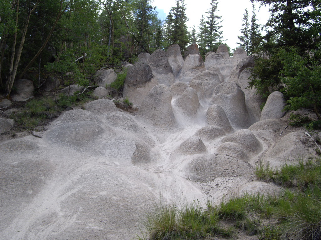 Wheeler LoopHikingPhoto: C. K. Hartman, CC BY 2.0 (via Flickr)~19 min drive
Daily highs and lows, wind and the chance of precipitation at Start for the next 7 days, from the Open-Meteo model.
Questions about Bear Creek: conditions, access, timing. Answers say when something isn't known.
Stone Cellar Campground
Campground
Creede Underground Mining Museum
Museum
Places © OpenStreetMap contributors, Places © Overture Maps Foundation
More in South ForkNot on Roamze yet. Their page has how to reach them.
