Pinegrove
Campground
< 0.1 mi from the trail
Pinegrove Interpretive Loop is a short, easy loop in the Flagstaff Ranger District of Coconino National Forest in Arizona, managed by the Forest Service. The trail is about a mile long, with a total elevation gain of 54 feet, and it makes a quick addition to a stay at Pinegrove campground, which sits just 0.1 mile away. The loop is a low-effort outing, with the high point at 6,968 feet and the low at 6,908 feet. It works well as a short walk before or after exploring the surrounding area, and it takes about half an hour to complete. Spring and fall are the most comfortable times to go. Typical averages from a nearby weather station show May highs around 71°F and October highs around 67°F, while July and August bring the most wet days. The Arizona Trail passes about a mile away, and Lakeview campground and the Horse Lake Trail are both within about 3 miles. For fishing, Mormon Lake is roughly 4.8 miles off.
Where it is: Flagstaff Ranger District · Coconino National Forest
Near: Flagstaff
Best months: April–June and September–October. Best months have typical highs of 55–85 °F, lows of 30 °F or warmer (32 °F where the station doesn't record snow), at most one snowy day and no more than 12 wet days.
Jan
45°
20°
6 wet
Feb
49°
23°
6 wet
Mar
56°
28°
5 wet
Apr
62°
34°
4 wet
May
71°
40°
4 wet
Jun
82°
51°
3 wet
Jul
86°
57°
10 wet
Aug
82°
55°
13 wet
Sep
78°
46°
7 wet
Oct
67°
34°
5 wet
Nov
55°
28°
4 wet
Dec
45°
21°
5 wet
Typical high / low (°F) and days with rain or snow, 1991–2020. Measured at Walnut Canyon Nm, AZ, 10.2 mi away at 6,695 ft. This station doesn't record snowfall. Source: NOAA NCEI U.S. Climate Normals 1991–2020.
Been here? Tell people how it was.
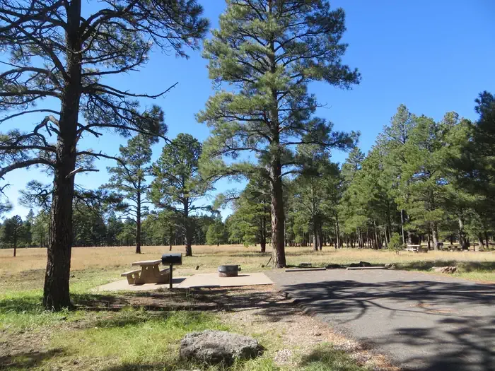 PinegroveCampingPhoto: Recreation.gov (RIDB) / public domain0.1 mi
 Arizona TrailHikingPhoto: cogdogblog, Public Domain Dedication (CC0) (via Flickr)1.1 mi
 Horse Lake TrailHikingPhoto: USDAgov, Public Domain Mark (via Flickr)3.2 miArizona TrailHikingPhoto: cogdogblog, Public Domain Dedication (CC0) (via Flickr)~2 min driveArizona TrailHikingPhoto: USDAgov, Public Domain Mark (via Flickr)~5 min drive
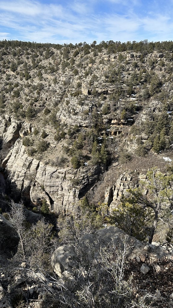 Azt - Walnut CanyonHikingPhoto: jasonwoodhead23, CC BY 2.0 (via Flickr)~18 min drive
 Arizona TrailHikingPhoto: Coconino NF Photography, Public Domain Mark (via Flickr)~12 min drive
 WoodHikingPhoto: cogdogblog, CC BY 2.0 (via Flickr)~6 min drive
 Fay CanyonHikingPhoto: Coconino NF Photography, CC BY-SA 2.0 (via Flickr)~19 min driveLakeview TrailHikingPhoto: Coconino NF Photography, Public Domain Mark (via Flickr)~11 min driveHorse Lake TrailHikingPhoto: USDAgov, Public Domain Mark (via Flickr)~5 min drive
Daily highs and lows, wind and the chance of precipitation at Start for the next 7 days, from the Open-Meteo model.
Questions about Pinegrove Interpretive Loop: conditions, access, timing. Answers say when something isn't known.
Pinegrove
Campground
Mess Hall
Museum
Places © OpenStreetMap contributors, Places © Overture Maps Foundation
More in Kachina VillageNot on Roamze yet. Their page has how to reach them.
