
Wine Spring Campsite
Campground
0.8 mi from the trail
Rocky Bald Loop is a 6.35-mile loop trail in the Nantahala Ranger District of the National Forests in North Carolina, managed by the Forest Service. The trail is rated hard, with 1,584 feet of elevation gain over the course of the loop. The climb is steep in places, with the steepest stretch at about 0.94 miles in, where the grade reaches 21 percent. The trail is natural-surfaced and allows both horses and bikes. The loop starts at an elevation of about 4,918 feet and reaches a high point of about 5,151 feet, with the total descent over the course of the loop coming to about 1,584 feet. Wine Springs Loop lies about 1.5 miles away, and Siler Bald Shelter is about 3 miles off. Rufus Morgan and the Bluegrass Trail are both within about 3.6 miles.
Where it is: Nantahala Ranger District · National Forests in North Carolina
Near: Franklin
Been here? Tell people how it was.
 Nantahala River Bike TrailHikingPhoto: gary_leavens, CC BY-SA 2.0 (via Wikimedia Commons)~14 min drive
 Thomas BranchHikingPhoto: Pete Seabolt, CC BY 3.0 (via Wikimedia Commons)~18 min driveBartram Trail ExtensionHikingPhoto: gary_leavens, CC BY-SA 2.0 (via Wikimedia Commons)~14 min drive
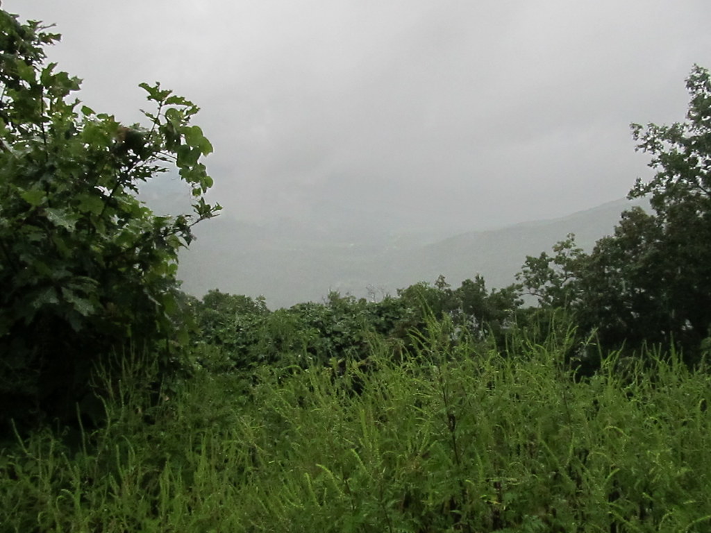 Chunky Gal TrailHikingPhoto: Ken Lund, CC BY-SA 2.0 (via Flickr)~15 min driveBig Indian Loop TrailHikingPhoto: Pete Seabolt, CC BY 3.0 (via Wikimedia Commons)~18 min drive
Daily highs and lows, wind and the chance of precipitation at Start for the next 7 days, from the Open-Meteo model.
Questions about Rocky Bald Loop: conditions, access, timing. Answers say when something isn't known.
Wine Spring Campsite
Campground
Sonny’s Music Lounge
Bar
Sunset Rock
Viewpoint
Cliff in Macon County, North Carolina, United States
Places © OpenStreetMap contributors, Places © Overture Maps Foundation
More in HighlandsNot on Roamze yet. Their page has how to reach them.
