Raganeau
Campground
4.5 mi from the trail
Max Creek is a moderate, out-and-back hike of about 4.8 miles in the Hidden Springs Ranger District of Shawnee National Forest in southern Illinois. The trail runs on natural surface and reaches a high point of 678 feet, with a total elevation gain of 647 feet for the full round trip. The route is open year-round and takes about two hours to complete. The steepest stretch comes at about 2 miles, where the grade reaches 10 percent. The trail is managed by the Forest Service and allows horses. Bikes are not permitted. The nearby Max Creek Trail starts about 0.3 miles away, and Cedar Creek is roughly 1.7 miles off. For paddling, Dutchman Creek is about 5.8 miles away, and Lake Of Egypt - Buck Ridge Camping Area is about 7.4 miles away.
Where it is: Hidden Springs Ranger District · Shawnee National Forest
Near: Vienna
Best months: March–June and September–November. Best months have typical highs of 55–85 °F, lows of 30 °F or warmer (32 °F where the station doesn't record snow), at most one snowy day and no more than 12 wet days.
Jan
43°
25°
8 wet
Feb
49°
29°
8 wet
Mar
59°
37°
9 wet
Apr
70°
46°
10 wet
May
77°
56°
10 wet
Jun
85°
63°
8 wet
Jul
88°
66°
7 wet
Aug
87°
65°
7 wet
Sep
82°
57°
6 wet
Oct
71°
46°
7 wet
Nov
57°
37°
8 wet
Dec
46°
29°
9 wet
Typical high / low (°F) and days with rain or snow, 1991–2020. Measured at Dixon Springs Agric Ctr, IL, 9.3 mi away at 527 ft. This station doesn't record snowfall. Source: NOAA NCEI U.S. Climate Normals 1991–2020.
Been here? Tell people how it was.
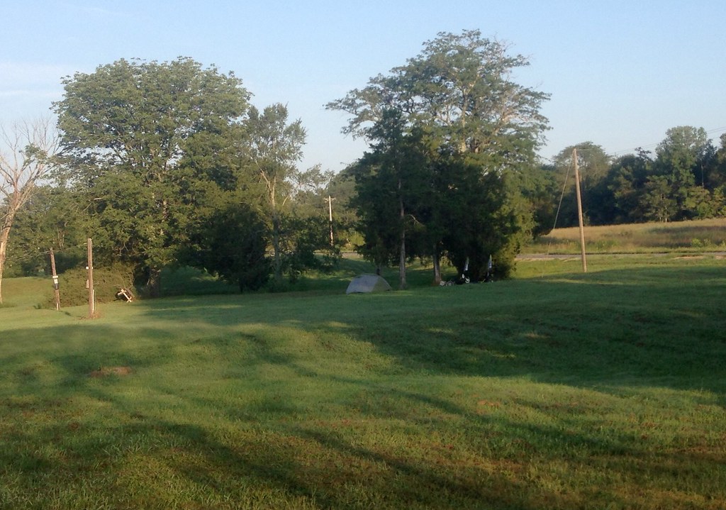 Cedar CreekHikingPhoto: lovebycycle, CC BY 2.0 (via Flickr)1.7 mi
 River to River Segment 4 - U.S. 45 to Ferne ClyffeHikingPhoto: usfs_Eastern_Region, Public Domain Mark (via Flickr)~9 min drive
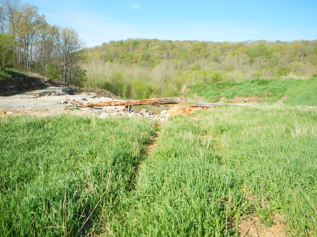 Jackson FallsHikingPhoto: Curtis Abert, CC BY 2.0 (via Flickr)~14 min driveMillstone LakeHikingPhoto: Curtis Abert, CC BY 2.0 (via Flickr)~14 min driveRanchHikingPhoto: Curtis Abert, CC BY 2.0 (via Flickr)~15 min drive
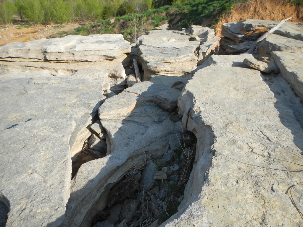 Cove Hollow TrailHikingPhoto: Curtis Abert, CC BY 2.0 (via Flickr)~12 min driveCedar CreekHikingPhoto: lovebycycle, CC BY 2.0 (via Flickr)~3 min drive
 Big Rocky Hollow TrailHikingPhoto: Curtis Abert, CC BY 2.0 (via Flickr)~15 min drive
 DutchmanHikingPhoto: usfs_Eastern_Region, Public Domain Mark (via Flickr)~8 min drive
 Rebman's TrailHikingPhoto: Curtis Abert, CC BY 2.0 (via Flickr)~16 min drive
Daily highs and lows, wind and the chance of precipitation at Start for the next 7 days, from the Open-Meteo model.
Questions about Max Creek: conditions, access, timing. Answers say when something isn't known.
Raganeau
Campground
Water Fall
Attraction
Places © OpenStreetMap contributors
More in Goreville