Deer Ridge Campground
Campground
Campground · 0.4 mi from the trail
 Photo: Curtis Abert, CC BY 2.0 (via Flickr)
Closure in the area
There's a closure order in Shawnee National Forest. It doesn't name Rebman's Trail, so check the source for the area it covers (3 listed).
Bell Smith Springs Recreation Area temporarily closed due to road work
Agency closure covering Shawnee National Forest · USFS · Shawnee National Forest
Boil Water Order at Pharaoh Campground at Garden of the Gods
Agency closure covering Shawnee National Forest · USFS · Shawnee National Forest
McClure Road Closed
Agency closure covering Shawnee National Forest · USFS · Shawnee National Forest
Lane reduction on bridge near IL Iron Furnace
Agency alert covering Shawnee National Forest · USFS · Shawnee National Forest
Failing Culvert on Oakwood Bottoms Road FSR # 786
Agency alert covering Shawnee National Forest · USFS · Shawnee National Forest
As of · Source: USFS · Shawnee National Forest. Agencies don't list every closure — check before you go.
Rebman's Trail is a short loop in Ferne Clyffe State Park, within the Mississippi Bluffs Ranger District of Shawnee National Forest in southern Illinois. It is a low-effort outing, with a 0.36-mile loop and an elevation gain of 23 feet from its low point of 518 feet to a high of 551 feet. The trail is managed by the State Department of Natural Resources. Spring and fall are the most comfortable times to visit. Typical averages from a nearby weather station in Anna put October highs around 73°F with lows near 48°F, and May highs near 79°F. Summer runs hotter, with July highs around 90°F. Several other outings sit close by. Hawk's Cave Trail and Black Jack Oak Trail are each about 0.1 mile away, and Main Wall offers climbing at the same distance. Big Rocky Hollow Trail is about 0.4 mile off.
Deer Ridge Campground
Campground
Water Fall
Attraction
Places © OpenStreetMap contributors
More in GorevilleBest months: March–May and September–November. Best months have typical highs of 55–85 °F, lows of 30 °F or warmer (32 °F where the station doesn't record snow), at most one snowy day and no more than 12 wet days.
Jan
45° / 25°
9 wet
Feb
50° / 29°
8 wet
Mar
61° / 37°
10 wet
Apr
71° / 46°
11 wet
May
79° / 56°
12 wet
Jun
87° / 65°
9 wet
Jul
90° / 69°
8 wet
Aug
89° / 67°
7 wet
Sep
83° / 59°
7 wet
Oct
73° / 48°
9 wet
Nov
59° / 37°
10 wet
Dec
48° / 30°
10 wet
Typical high / low (°F) and days with rain or snow, 1991–2020. Measured at Anna 2 Nne, IL, 14.6 mi away at 640 ft. This station doesn't record snowfall. Source: NOAA NCEI U.S. Climate Normals 1991–2020.
 Photo: Curtis Abert, CC BY 2.0 (via Flickr)
Black Jack Oak Trail
Next door
1.72-mile out-and-back trail in Illinois with 591 ft elevation gain.
 Photo: usfs_Eastern_Region, Public Domain Mark (via Flickr)
Dutchman
~8 min drive
3.00-mile out-and-back trail in Illinois with 147 ft gain.
HIKE
Max Creek Trail
~17 min drive
5.36-mile out-and-back hike in Illinois with 233 ft gain
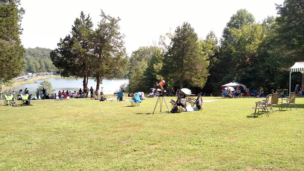 Photo: Curtis Abert, CC BY 2.0 (via Flickr)
Big Rocky Hollow Trail
Next door
0.38-mile point-to-point trail in Illinois with 12 ft elevation gain.
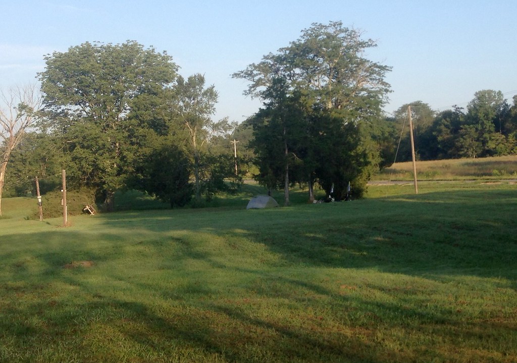 Photo: lovebycycle, CC BY 2.0 (via Flickr)
Cedar Creek
~18 min drive
7.96-mile out-and-back trail in Illinois with 609 ft elevation gain follows Cedar Creek.
HIKE
Little Black Slough Trail
~20 min drive
7.3-mile out-and-back trail in Illinois with 1,392 ft elevation gain
Photo: Curtis Abert, CC BY 2.0 (via Flickr)River To River Trail
Next door
0.9-mile out-and-back hike in Illinois with 150 ft elevation gain.
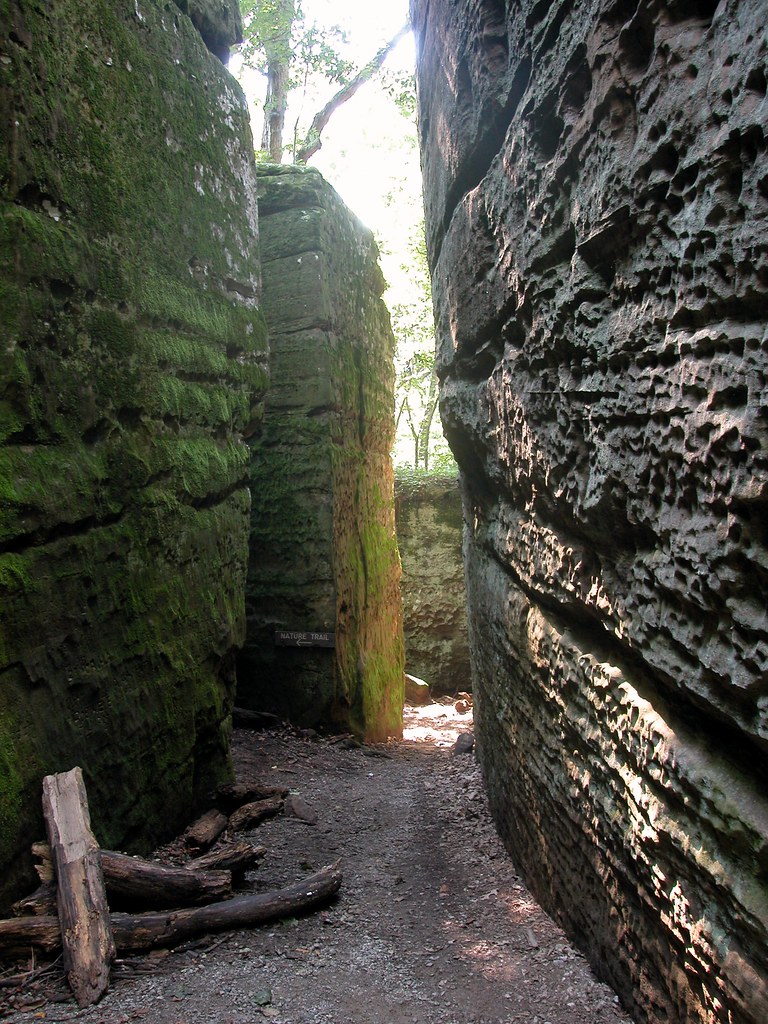 Photo: davidwilson1949, CC BY 2.0 (via Flickr)
Red Cedar Trail
~22 min drive
15.78-mile out-and-back trail in Illinois with 2,055 ft elevation gain
HIKE
Max Creek
~16 min drive
4.79-mile out-and-back trail in Illinois with 378 ft gain.
Photo: Curtis Abert, CC BY 2.0 (via Flickr)Lake Trail
~1 min drive
0.90-mile loop trail in Illinois with 374 ft of elevation gain.
Map and trail data © OpenStreetMap contributors
