
Snow Lake Camp
Campground
0.9 mi from the trail
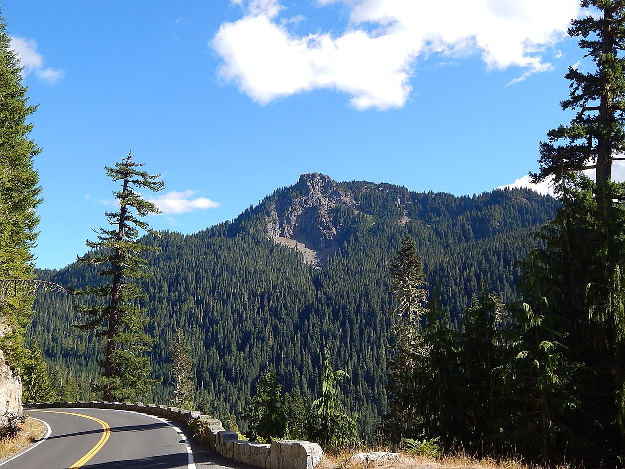
 Photo: Ron Clausen, CC BY-SA 4.0 (via Wikimedia Commons)
Unicorn Peak is a summit of 6,914 feet in Washington's Mount Rainier National Park, within the Mount Rainier Wilderness. The National Park Service manages the land, and the nearest town is Packwood, about 9.5 miles away. Summer is the most comfortable time to go. Typical averages from a nearby weather station at Paradise, which sits roughly 1,500 feet lower, show July and August highs around 62 to 64°F with lows in the mid-40s. At the summit's elevation, temperatures run cooler. The Unicorn Peak climbing route lies about 0.8 miles away, and Snow Lake is about 1.2 miles off. Liberty Cap and the Tatoosh Range are both within about 2 miles. Cougar Rock Campground, about 4.7 miles away, offers a place to stay.
Where it is: Mount Rainier Wilderness · Mount Rainier National Park
Near: Packwood · 9.5 mi
Best months: July–September. Best months have typical highs of 55–85 °F, lows of 30 °F or warmer (32 °F where the station doesn't record snow), at most one snowy day and no more than 12 wet days.
Jan
34°
24°
Feb
34°
23°
Mar
36°
24°
Apr
40°
26°
May
48°
33°
Jun
54°
37°
Jul
62°
44°
Aug
64°
45°
Sep
57°
41°
Oct
46°
33°
Nov
37°
26°
Dec
33°
22°
Typical high / low (°F) and days with rain or snow, 1991–2020. Measured at Rainier Paradise Rs, WA, 3.4 mi away at 5,427 ft. The station sits about 1,500 ft lower than this place, so expect it a little cooler here. This station doesn't record snowfall. Source: NOAA NCEI U.S. Climate Normals 1991–2020.
Been here? Tell people how it was.
 Tatoosh RangeRock climbingPhoto: Purplepumpkins, CC BY-SA 4.0 (via Wikimedia Commons)1.9 mi
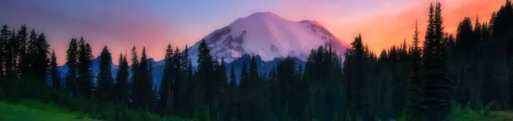 Cougar Rock CampgroundCampingPhoto: Recreation.gov (RIDB) / public domain4.7 mi
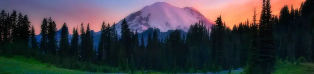 Cougar Rock Group CampgroundCampingPhoto: Recreation.gov (RIDB) / public domain4.7 mi
 Nisqually RiverCanoeingPhoto: Ian Poellet, CC BY-SA 3.0 (via Wikimedia Commons)5.1 mi
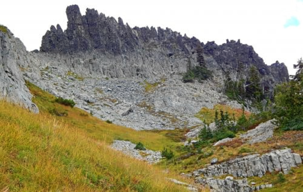 The CastleSummitPhoto: Ron Clausen, CC BY-SA 4.0 (via Wikimedia Commons)~3 min drive
 Pinnacle PeakSummitPhoto: SolYoun, CC BY 2.0 (via Wikimedia Commons)~3 min drive
 Plummer PeakSummitPhoto: Peter Stevens (Nordique), CC BY 2.0 (via Wikimedia Commons)~3 min drive
 Lane PeakSummitPhoto: Ron Clausen, CC BY-SA 4.0 (via Wikimedia Commons)~4 min drive
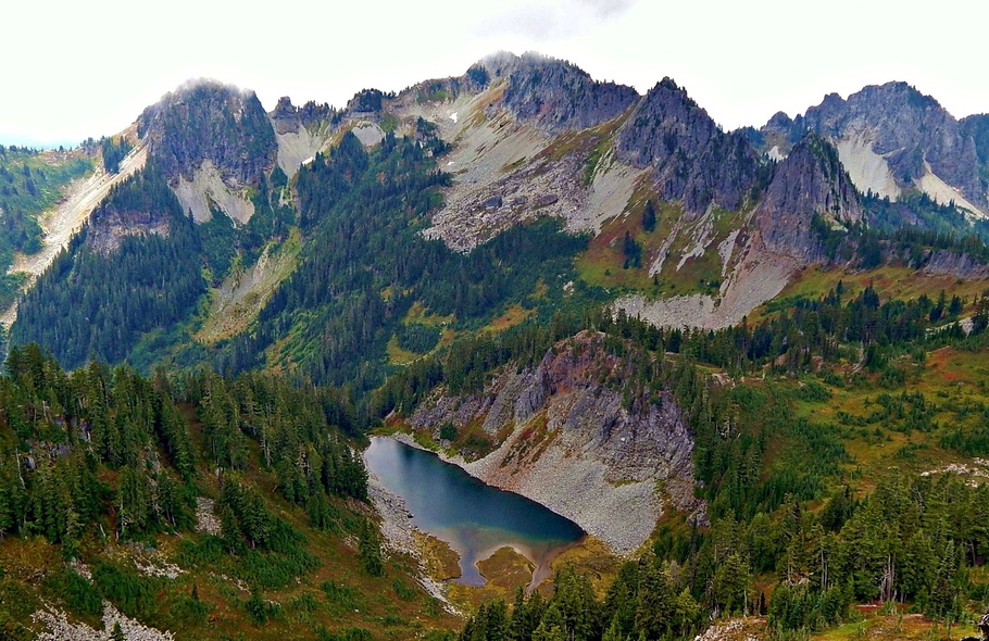 Wahpenayo PeakSummitPhoto: Ron Clausen, CC BY-SA 4.0 (via Wikimedia Commons)~5 min drive
 Eagle PeakSummitPhoto: Ron Clausen, CC BY-SA 4.0 (via Wikimedia Commons)~6 min drive
 Little Tahoma PeakSummitPhoto: Thomas Loarie II (talk · contribs), CC BY-SA 3.0 (via Wikimedia Commons)~12 min drive
 Shriner PeakSummitPhoto: Ron Clausen, CC BY-SA 4.0 (via Wikimedia Commons)~16 min drive
 Barrier PeakSummitPhoto: Steve Redman (MORA), Public domain (via Wikimedia Commons)~17 min drive
 Seymour PeakSummitPhoto: Ron Clausen, CC BY-SA 4.0 (via Wikimedia Commons)~20 min drive
Daily highs and lows, wind and the chance of precipitation at the summit and route start for the next 7 days, from the Open-Meteo model.
6,914 ft (2,107 m).
One: Unicorn Peak climbing route.
Questions about Unicorn Peak: conditions, access, timing. Answers say when something isn't known.
Snow Lake Camp
Campground
 If it rainsSteven Pavlov, CC BY-SA 4.0 · Wikimedia Commons
Places © OpenStreetMap contributors · Photos: Steven Pavlov, CC BY-SA 4.0 (commons)
More in Packwood