Tellico River Area
- Feb–May, Sep–Nov
- best months
Caution at last check
Agency alerts are in effect for this area; weather is good · USFS, OpenWeather · checked 16 h ago
Is Tellico River Area open right now?
Closure in the area
There's a closure order in Cherokee National Forest. It doesn't name Tellico River Area, so check the source for the area it covers (3 listed).
Ocoee River Flooding Damage - Nov 5
Agency closure covering Cherokee National Forest · USFS · Cherokee National Forest
Campsite limitations
Agency closure covering Cherokee National Forest · Order 08-04-00-22-180 · USFS · Cherokee National Forest
Citico Creek Flood Closure
Agency closure covering Tellico Ranger District · USFS · Tellico Ranger District
Emergency road closures due to storm damage
Agency alert covering Cherokee National Forest · USFS · Cherokee National Forest
As of · Source: USFS · Cherokee National Forest. Agencies don't list every closure — check before you go.
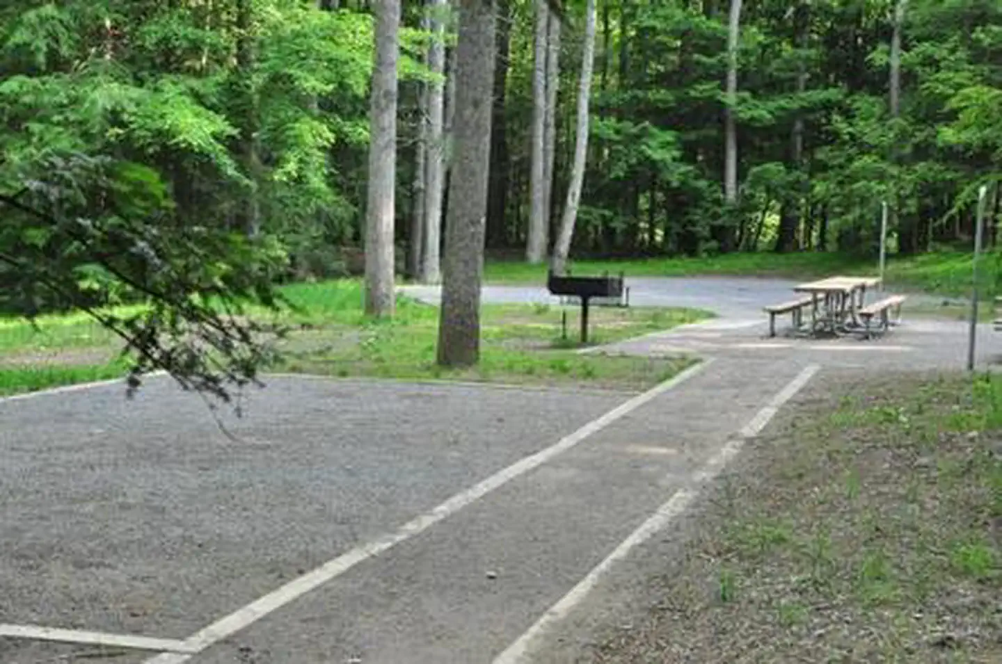
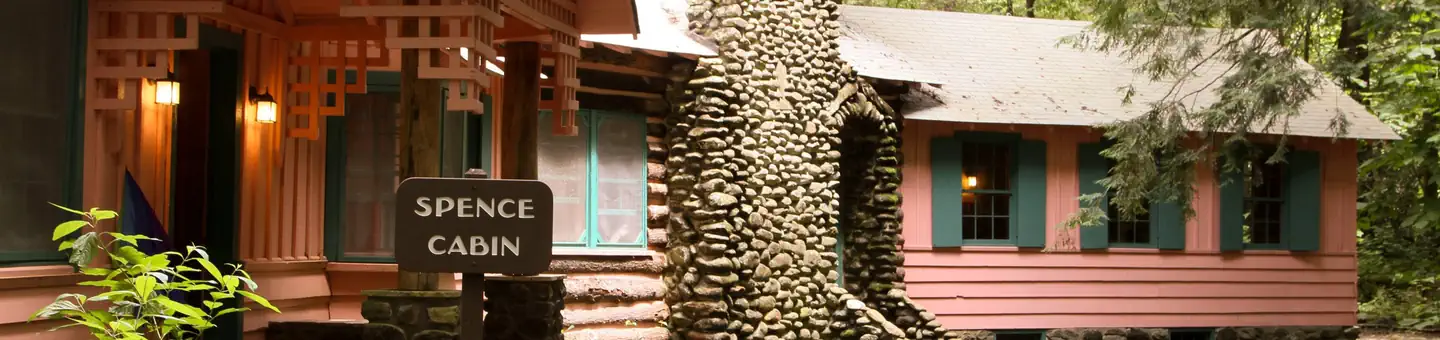
This area provides outstanding opportunities for fishing, camping, hiking, and scenic driving. It is also home to the popular Indian Boundary Recreation Area and the Cherohala Skyway.Nearly 30,000 acres of remote backcountry surround three rivers and their tributaries, where fishing for brown, rainbow and brook trout is excellent. Cherohala Skyway (TN 165/NC143), a 43-mile National Scenic Byway, winds between Tellico Plains, Tenn. and Robbinsville, N.C. Tellico River Road (FR 210) offers intimate views of the river and 90-foot Bald River Falls.Spend the night at the historic Donley Cabin and check out CCC structures at Tellico Ranger Station and Dam Creek Picnic Area. Hike across the area on the Benton MacKaye Trail. Camp at sites along Tellico River or in Indian Boundary Recreation Area just off Cherohala Skyway.Tellico River Area MapTellico River Area Guide
Local outfitters
- Hiwassee Outfitters22 mi away
- Toccoa River Outfitter40 mi away
Not on Roamze yet. Their page has how to reach them.
- PANTHER BRANCH TRAILHiking0.2 mi
- Tellico RiverRiver fishing0.5 mi
- LONG BRANCH TRAILHiking0.9 mi
- MCNABB CREEK TRAILHiking1 mi
 Mcnabb Group CampCampingPhoto: Idawriter, CC BY-SA 3.0 (via Wikimedia Commons)1 mi
- McNabb Creek GroupCamping1.1 mi
 North River CgCampingPhoto: Chris M Morris, CC BY 2.0 (via Wikimedia Commons)1.1 mi
- Indian Boundary LakePier fishing5.4 mi
Source: Roamze catalog (indexable pages within 10 miles, PostGIS distance)
- Jackrabbit MountainLake fishing · ~51 min drive
- Tellico RiverRiver fishing · Next door
- Ocoee River AreaRiver fishing · ~45 min drive
- Jacks RiverRiver fishing · ~1h drive
- Massey Branch Fishing PierPier fishing · ~30 min drive
- Chatuge LakeLake fishing · ~52 min drive
- Madisonville LakeLake fishing · ~32 min drive
- Hiwassee RiverRiver fishing · ~26 min drive
- Nantahala National ForestRiver fishing · ~49 min drive
- Massey Branch AreaPier fishing · ~31 min drive
Also worth it near here
Best time to visit Tellico River Area
Best months: February–May and September–November. Best months have typical highs of 55–85 °F, lows of 30 °F or warmer (32 °F where the station doesn't record snow), at most one snowy day and no more than 12 wet days.
Jan
50° / 28°
9 wet · 1 snow
Feb
55° / 31°
10 wet · 1 snow
Mar
64° / 37°
9 wet
Apr
73° / 44°
9 wet
May
81° / 54°
10 wet
Jun
87° / 63°
10 wet
Jul
90° / 66°
11 wet
Aug
89° / 65°
9 wet
Sep
84° / 57°
7 wet
Oct
74° / 45°
7 wet
Nov
62° / 35°
8 wet
Dec
54° / 31°
10 wet
Typical high / low (°F) and days with rain or snow, 1991–2020. Measured at Tellico Plains, TN, 9.4 mi away at 910 ft. The station sits about 900 ft lower than this place, so expect it a little cooler here. Source: NOAA NCEI U.S. Climate Normals 1991–2020.