Stowe Pinnacle
At a glance
Stowe Pinnacle is a summit of 2,638 feet in Vermont, about 3 miles from the town of Stowe. It sits right alongside a cluster of trails, with the Hogback Trail starting just 0.1 mile away and the Pinnacle Meadow Trail about 0.6 mile off. The Stowe Pinnacle Trail lies roughly a mile from the summit. Summer is the most comfortable time to go. At a nearby weather station, July averages run to highs around 77°F and lows near 58°F, and temperatures on the summit run cooler than that. Winters are cold, with January highs averaging around 26°F. Paddlers can head to the Little River, about 3 miles away, and Little River State Park offers camping about 7 miles off. Climbers will find Smugglers' Notch Bouldering about 8 miles from the summit.
- summit
- 2,638 ft
- way up
- 1
- best months
- Aug–Sep
Near: Stowe · 3.1 mi
Best time to visit Stowe Pinnacle
Best months: August–September. Best months have typical highs of 55–85 °F, lows of 30 °F or warmer (32 °F where the station doesn't record snow), at most one snowy day and no more than 12 wet days.
Jan
26°
8°
17 wet
Feb
29°
10°
14 wet
Mar
38°
19°
15 wet
Apr
51°
32°
14 wet
May
65°
44°
15 wet
Jun
72°
53°
15 wet
Jul
77°
58°
15 wet
Aug
75°
56°
12 wet
Sep
68°
48°
11 wet
Oct
54°
38°
15 wet
Nov
42°
28°
16 wet
Dec
31°
17°
19 wet
Typical high / low (°F) and days with rain or snow, 1991–2020. Measured at Worcester 2 W, VT, 5.1 mi away at 1,360 ft. The station sits about 1,300 ft lower than this place, so expect it a little cooler here. This station doesn't record snowfall. Source: NOAA NCEI U.S. Climate Normals 1991–2020.
Been here? Tell people how it was.
Map © Mapbox © OpenStreetMap contributors Hazards
- Muddy conditions
- Slippery rocks when wet
- Seasonal ice
Season
Spring may have muddy conditions from snowmelt; fall offers excellent foliage viewing; winter conditions require snowshoes or microspikes
- Hogback Mountain3,232 ft · Vermont1 route0.5 mi away
- Mount Hunger3,537 ft · Vermont4 routes2.4 mi away
- Mount Worcester3,290 ft · Vermont2 routes3.0 mi away
- Elmore Mountain2,607 ft · Vermont2 routes8.5 mi away
- Bolton Mountain3,712 ft · Vermont1 route9.4 mi away
- Mount Mayo3,135 ft · Vermont1 route9.6 mi away
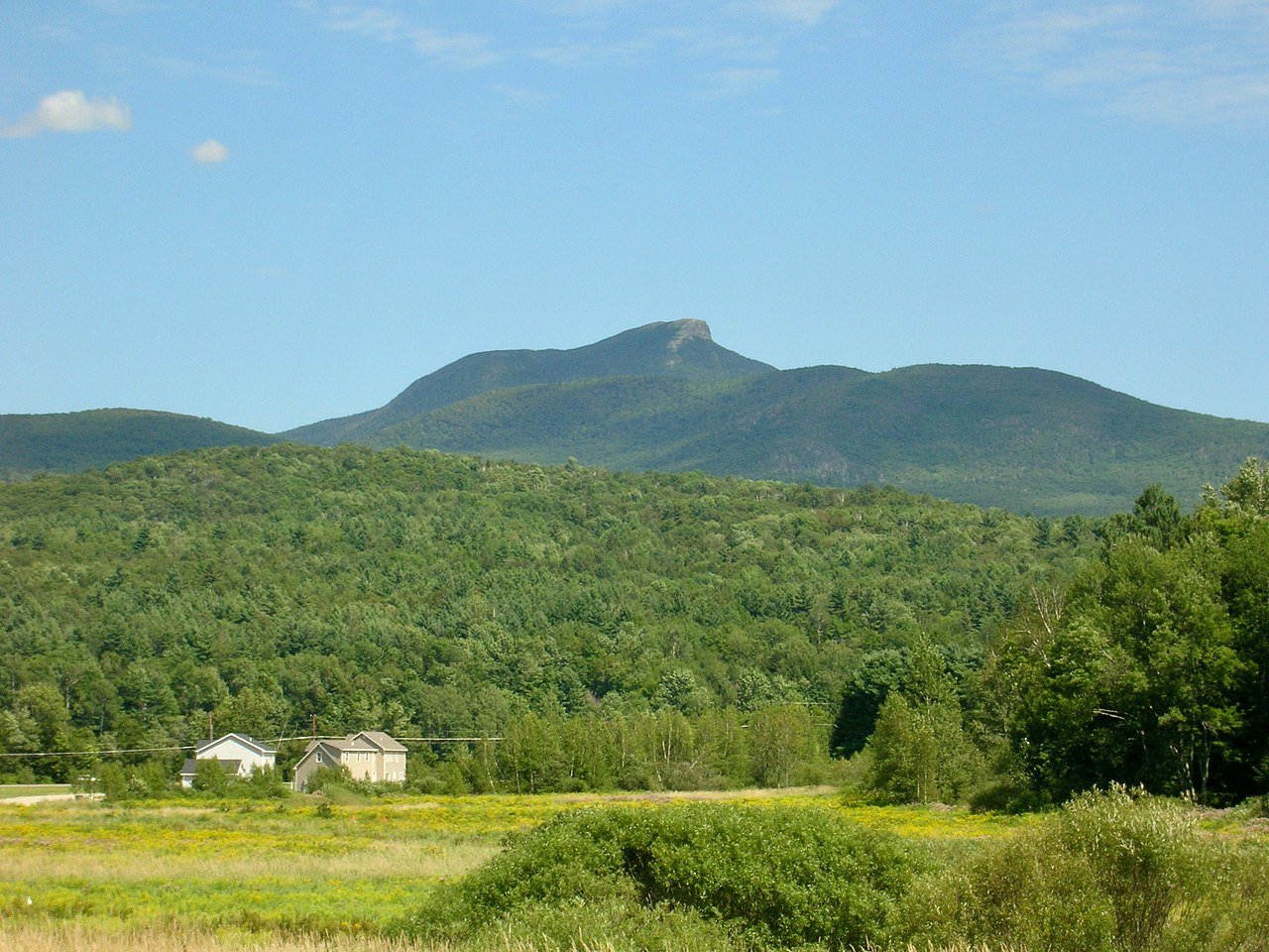 Camels HumpSummitPhoto: Niranjan Arminius, CC BY-SA 4.0 (via Wikimedia Commons)~24 min drive
 Mount Ethan AllenSummitPhoto: Niranjan Arminius, CC BY-SA 4.0 (via Wikimedia Commons)~26 min drive
 Mount EllenSummitPhoto: dvs, CC BY 2.0 (via Wikimedia Commons)~40 min drive
 Mount AbrahamSummitPhoto: User:Magicpiano, CC BY-SA 4.0 (via Wikimedia Commons)~44 min drive
 Big JaySummitPhoto: Petersent, Public domain (via Wikimedia Commons)~58 min drive
 Jay PeakSummitPhoto: Hanumanix at English Wikipedia, Public domain (via Wikimedia Commons)~59 min drive
- Hogback MountainSummitNext door
- Mount HungerSummit~4 min drive
- White Rock MountainSummit~5 min drive
- Mount WorcesterSummit~5 min drive
Conditions and forecast
Daily highs and lows, wind and the chance of precipitation at the summit and route start for the next 7 days, from the Open-Meteo model.
Questions about Stowe Pinnacle
How tall is Stowe Pinnacle?
2,638 ft (804 m).
How many routes go to the summit of Stowe Pinnacle?
One: Stowe Pinnacle Trail.
When is the best time to climb Stowe Pinnacle?
Spring, summer, fall.

Ask about this place
Questions about Stowe Pinnacle: conditions, access, timing. Answers say when something isn't known.
