Twin Brooks Tenting Area
Campground
Campground · 3.7 mi from the trail
Bolton Mountain is a summit in Vermont, rising to 3,712 feet about 2.4 miles from the village of Bolton Valley. It sits among a cluster of hiking routes and climbing areas, making it a natural anchor for a day of exploring the surrounding trails and rock. Summer is the most comfortable time to visit. Typical averages from the nearby Mt Mansfield weather station, which sits at a similar elevation, show July highs around 69°F with lows near 55°F, while winter brings January highs of about 21°F and lows near 6°F. Several hikes start close by, including Birch Loop at 1.2 miles and Bryant Trail at 1.7 miles. Climbers can head to Upper Upper West, about 3.1 miles away, and paddlers will find Miller Brook roughly 3.3 miles off.
Twin Brooks Tenting Area
Campground
 If it rainsThe original uploader was Redjar at English Wikipedia ., CC BY-SA 3.0 · Wikimedia Commons
Old Round Church
Museum
Places © OpenStreetMap contributors, Places © Overture Maps Foundation · Photos: The original uploader was Redjar at English Wikipedia ., CC BY-SA 3.0 (commons)
More in South BurlingtonDaily highs and lows, wind and the chance of precipitation at the summit and route start for the next 7 days, from the Open-Meteo model.
Elevation from USGS 3D Elevation Program terrain data (about 10 m resolution).
Spring brings mud season conditions, summer offers lush green canopy, fall features spectacular foliage, winter requires snowshoes or microspikes
3,712 ft (1,131 m).
One: Long Trail.
Spring, summer, fall.
Source: Roamze catalog (indexable pages within 10 miles, PostGIS distance)
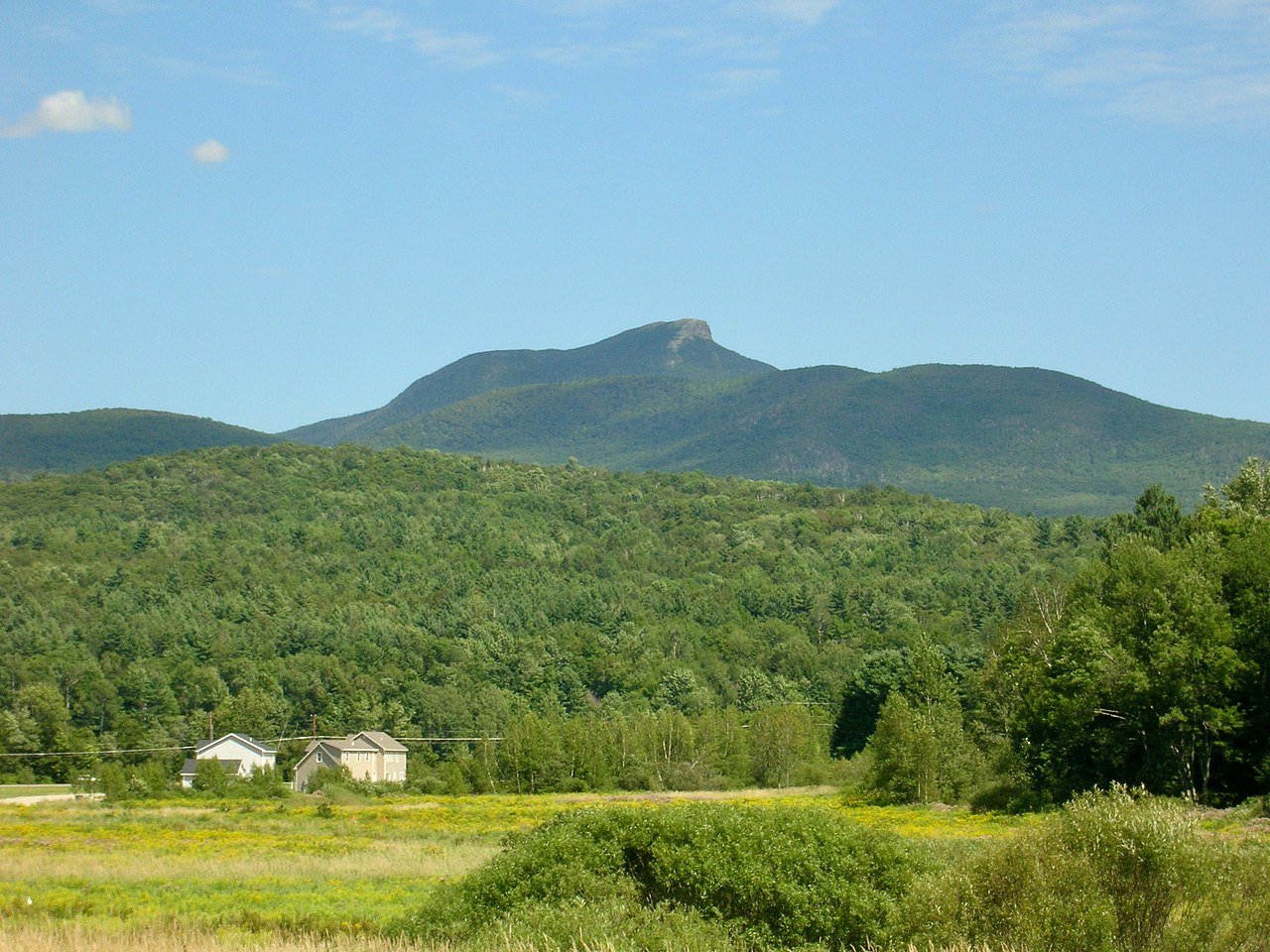 Camels HumpSummit · ~16 min drivePhoto: Niranjan Arminius, CC BY-SA 4.0 (via Wikimedia Commons)
 Mount Ethan AllenSummit · ~19 min drivePhoto: Niranjan Arminius, CC BY-SA 4.0 (via Wikimedia Commons)
 Mount EllenSummit · ~35 min drivePhoto: dvs, CC BY 2.0 (via Wikimedia Commons)
 Mount AbrahamSummit · ~40 min drivePhoto: User:Magicpiano, CC BY-SA 4.0 (via Wikimedia Commons)
 Pokamoonshine MountainSummit · ~57 min drivePhoto: Brendan Wiltse, Cropped and color-corrected slightly prior to upload by Daniel Case, CC BY 2.0 (via Wikimedia Commons)
No month here meets our mild-weather rule. Best months have typical highs of 55–85 °F, lows of 30 °F or warmer (32 °F where the station doesn't record snow), at most one snowy day and no more than 12 wet days.
Jan
21° / 6°
21 wet
Feb
23° / 7°
18 wet
Mar
30° / 16°
17 wet
Apr
43° / 28°
15 wet
May
57° / 41°
16 wet
Jun
65° / 50°
16 wet
Jul
69° / 55°
16 wet
Aug
68° / 54°
15 wet
Sep
61° / 47°
14 wet
Oct
48° / 35°
15 wet
Nov
36° / 23°
17 wet
Dec
27° / 13°
21 wet
Typical high / low (°F) and days with rain or snow, 1991–2020. Measured at Mt Mansfield, VT, 5.3 mi away at 3,950 ft. This station doesn't record snowfall. Source: NOAA NCEI U.S. Climate Normals 1991–2020.

