Elmore Mountain
- 2,607 ft
- summit
- 2
- ways up
- May–Sep
- best months
Elmore Mountain is a summit in Vermont, rising to 2,607 feet about 3 miles from the town of Morrisville. It sits at the center of a cluster of trails and climbing, with the Fire Tower Crag (Elmore Mtn) climbing area just 0.1 mile away and the Ridge Trail about 0.4 mile off. Summer is the most comfortable time to visit. Typical July averages from a nearby weather station run to a high of 75°F and a low of 58°F, and September cools to highs around 67°F. That station sits roughly 1,150 feet lower than the summit, so temperatures on top run cooler. The Fire Tower Trail starts about 0.7 mile away, and the Nature Trail is about 1.1 mile off. In winter, the Catamount Trail, a cross-country ski route, lies about 2 miles away. The Lamoille River, about 3.7 miles away, offers river fishing.
Conditions and forecast
Daily highs and lows, wind and the chance of precipitation at the summit and route start for the next 7 days, from the Open-Meteo model.
- Summit elevation
- 2,607 ft
Elevation from USGS 3D Elevation Program terrain data (about 10 m resolution).
- Fire Tower TrailModerateabout 1,310 ft of climbing2.0 mi round trip
- Ridge TrailHardabout 1,316 ft of climbing4.2 mi round trip
Compare the routes Fire Tower Trail Ridge Trail Climbing About 1,310 ft About 1,316 ft Round trip 2.0 mi 4.2 mi Difficulty Moderate Hard Terrain Hike Hike Season Spring, summer, fall Spring, summer, fall Map © Mapbox © OpenStreetMap contributors Hazards
- Slippery conditions when wet
- Steep sections near tower
- Seasonal ice
- Mud during spring thaw
- Potential ice in winter
Season
Spring offers wildflowers, summer provides full foliage, fall showcases brilliant autumn colors, winter may require snowshoes
Trail may be muddy during spring snowmelt; beautiful fall foliage viewing; winter conditions may require snowshoes or microspikes
Questions about Elmore Mountain
How tall is Elmore Mountain?
2,607 ft (795 m).
How many routes go to the summit of Elmore Mountain?
2: Fire Tower Trail and Ridge Trail.
What is the shortest route up Elmore Mountain?
Fire Tower Trail, about 2.0 mi round trip.
When is the best time to climb Elmore Mountain?
Spring, summer, fall.
- Mount Worcester3,290 ft · Vermont2 routes6.2 mi away
- Stowe Pinnacle2,638 ft · Vermont1 route8.5 mi away
- Hogback Mountain3,232 ft · Vermont1 route8.6 mi away
- Mount Hunger3,537 ft · Vermont4 routes10 mi away
- Sterling Mountain3,711 ft · Vermont1 route10 mi away
- Spruce Peak3,337 ft · Vermont2 routes12 mi away
- Fire Tower Crag (Elmore Mtn)Rock climbing0.1 mi
- Ridge TrailHiking0.4 mi
- Fire Tower TrailHiking0.7 mi
- Nature TrailHiking1.1 mi
- Catamount TrailCross-country skiing2 mi
- Lamoille RiverRiver fishing3.7 mi
- North Branch Winooski RiverCanoeing5.9 mi
- Little RiverCanoeing7.6 mi
Source: Roamze catalog (indexable pages within 10 miles, PostGIS distance)
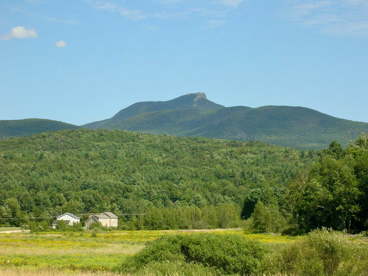 Camels HumpSummit · ~38 min drivePhoto: Niranjan Arminius, CC BY-SA 4.0 (via Wikimedia Commons)
 Mount Ethan AllenSummit · ~40 min drivePhoto: Niranjan Arminius, CC BY-SA 4.0 (via Wikimedia Commons)
 Big JaySummit · ~46 min drivePhoto: Petersent, Public domain (via Wikimedia Commons)
 Jay PeakSummit · ~47 min drivePhoto: Hanumanix at English Wikipedia, Public domain (via Wikimedia Commons)
 Mount PisgahSummit · ~50 min drivePhoto: Lostdrewid, CC BY-SA 3.0 (via Wikimedia Commons)
 Mount EllenSummit · ~54 min drivePhoto: dvs, CC BY 2.0 (via Wikimedia Commons)
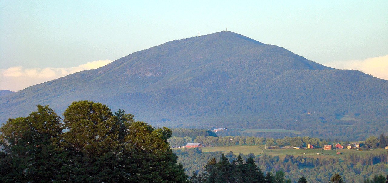 Burke MountainSummit · ~56 min drivePhoto: From the nek, CC BY-SA 3.0 (via Wikimedia Commons)
- Mount WorcesterSummit · ~11 min drive
- Stowe PinnacleSummit · ~14 min drive
- Hogback MountainSummit · ~15 min drive
Best time to visit Elmore Mountain
Best months: May–September. Best months have typical highs of 55–85 °F, lows of 30 °F or warmer (32 °F where the station doesn't record snow), at most one snowy day and no more than 12 wet days.
Jan
23° / 6°
Feb
27° / 8°
Mar
36° / 18°
Apr
49° / 31°
May
64° / 44°
Jun
71° / 53°
Jul
75° / 58°
Aug
74° / 56°
Sep
67° / 49°
Oct
54° / 37°
Nov
40° / 27°
Dec
29° / 15°
Typical high / low (°F) and days with rain or snow, 1991–2020. Measured at Eden 2 S, VT, 10.1 mi away at 1,456 ft. The station sits about 1,200 ft lower than this place, so expect it a little cooler here. This station doesn't record snowfall. Source: NOAA NCEI U.S. Climate Normals 1991–2020.
