Battell Shelter
Campground
Campground · 0.6 mi from the trail
 Photo: User:Magicpiano, CC BY-SA 4.0 (via Wikimedia Commons)
Closure in the area
There's a closure order in Green Mountain and Finger Lakes National Forests. It doesn't name Mount Abraham, so check the source for the area it covers (3 listed).
Klondike Fire Incident Report
Agency closure covering Green Mountain and Finger Lakes National Forests · USFS · Green Mountain and Finger Lakes National Forests
Heavily damaged or closed trails
Agency closure covering Green Mountain and Finger Lakes National Forests · USFS · Green Mountain and Finger Lakes National Forests
Glastenbury fire tower is closed to public use
Agency closure covering Green Mountain and Finger Lakes National Forests · USFS · Green Mountain and Finger Lakes National Forests
Moosalamoo Campground Water System
Agency alert covering Green Mountain and Finger Lakes National Forests · USFS · Green Mountain and Finger Lakes National Forests
As of · Source: USFS · Green Mountain and Finger Lakes National Forests. Agencies don't list every closure — check before you go.
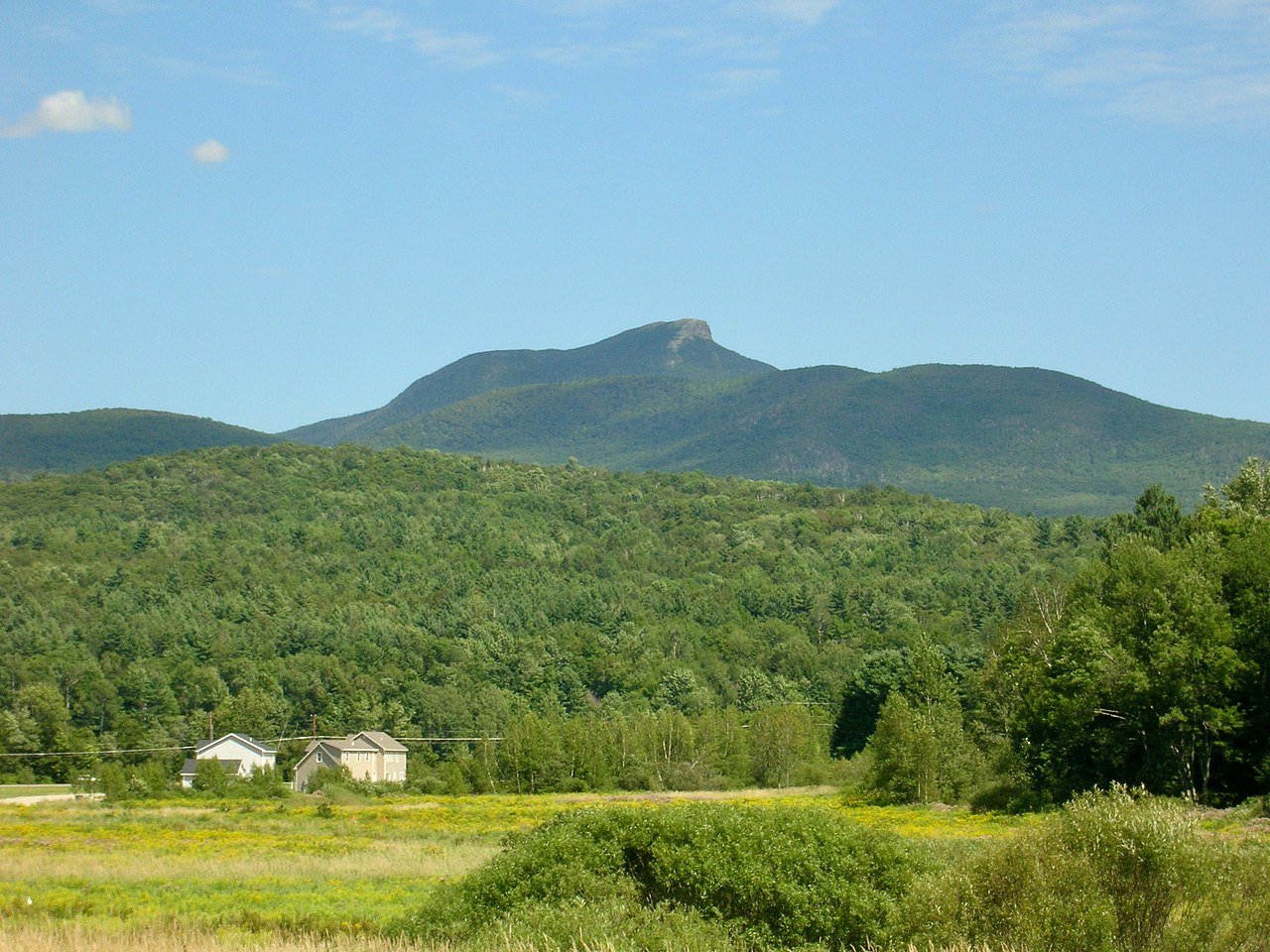
Mount Abraham is a summit of about 4,012 feet in Addison County, Vermont, within the Middlebury and Rochester Ranger Districts of the Green Mountain and Finger Lakes National Forests. The nearest town is Lincoln, about 3 miles away. The Battell Trail starts just 0.6 miles away. French Settlement, a cross-country ski area, is about 3 miles off. Cooley Glen Shelter offers camping about 5 miles away, and the Mad River, a canoeing route, is roughly 6 miles away.
Battell Shelter
Campground
Allyn's Lodge
Restaurant
 If it rainsSMHCNorwich, CC BY-SA 4.0 · Wikimedia Commons
Sullivan Museum & History Center
Museum
History museum at Norwich University, United States
Places © OpenStreetMap contributors · Photos: SMHCNorwich, CC BY-SA 4.0 (commons)
More in RandolphDaily highs and lows, wind and the chance of precipitation at the summit for the next 7 days, from the Open-Meteo model.
Elevation from USGS 3D Elevation Program terrain data (about 10 m resolution).
We don't know of a mapped trail or route to the summit of Mount Abraham. Plan the approach with local maps, a guidebook or a local guide, and check conditions before you go.
4,012 ft (1,223 m).
We don't know of a mapped trail or route to the summit. Plan the approach with local maps, a guidebook or a local guide.


 Mad RiverCanoeingPhoto: USEPA Environmental-Protection-Agency, Public domain (via Wikimedia Commons)5.9 mi
Source: Roamze catalog (indexable pages within 10 miles, PostGIS distance)
Mount EllenSummit · ~5 min drivePhoto: dvs, CC BY 2.0 (via Wikimedia Commons)Mount Ethan AllenSummit · ~21 min drivePhoto: Niranjan Arminius, CC BY-SA 4.0 (via Wikimedia Commons)Camels HumpSummit · ~24 min drivePhoto: Niranjan Arminius, CC BY-SA 4.0 (via Wikimedia Commons) Snake MountainSummit · ~30 min drivePhoto: Michael Kostiuk, CC BY-SA 3.0 (via Wikimedia Commons)
 Mount DefianceSummit · ~53 min drivePhoto: Mwanner, CC BY-SA 3.0 (via Wikimedia Commons)
 Grandpa KnobSummit · ~57 min drivePhoto: Jc3s5h, CC BY-SA 4.0 (via Wikimedia Commons)
Also worth it near here


