Stone Mountain
 Photo: KyleAndMelissa22, Public domain (via Wikimedia Commons)
At a glance
Stone Mountain is a summit in western Massachusetts, rising to 1,699 feet about 5.6 miles from Shelburne Falls. It sits in a cluster of climbing areas and hiking trails, making it a natural anchor for a day of rock and trail in the region. Summer is the most comfortable time to visit. Typical averages from a nearby weather station at a similar elevation show July and August highs around 75°F with lows in the mid-50s, while winter highs stay in the 20s and 30s. The closest climbing areas are Charlemont and Upper Field, both about 2.4 miles away, and Big 45 at 2.5 miles. For a hike, the Steeplebush Trail lies about 5.1 miles off.
- summit
- 1,699 ft
- best months
- May–Oct
Near: Greenfield
Best time to visit Stone Mountain
Best months: May–October. Best months have typical highs of 55–85 °F, lows of 30 °F or warmer (32 °F where the station doesn't record snow), at most one snowy day and no more than 12 wet days.
Jan
29°
11°
Feb
31°
13°
Mar
39°
20°
Apr
51°
32°
May
63°
42°
Jun
70°
52°
Jul
75°
57°
Aug
75°
55°
Sep
68°
48°
Oct
56°
36°
Nov
44°
28°
Dec
34°
19°
Typical high / low (°F) and days with rain or snow, 1991–2020. Measured at Rowe 3ne, MA, 5.8 mi away at 1,735 ft. This station doesn't record snowfall. Source: NOAA NCEI U.S. Climate Normals 1991–2020.
Been here? Tell people how it was.
We don't know of a mapped trail or route to the summit of Stone Mountain. Plan the approach with local maps, a guidebook or a local guide, and check conditions before you go.
- Massaemett Mountain1,592 ft · Massachusetts1 route6.3 mi away
- Todd Mountain1,694 ft · Massachusetts1 route9.0 mi away
- Mount Olga2,413 ft · Vermont1 route11 mi away
- Moore Hill1,700 ft · Massachusetts1 route15 mi away
- Wantastiquet Mountain1,369 ft · New Hampshire1 route17 mi away
- Haystack Mountain3,448 ft · Vermont1 route17 mi away
- CharlemontRock climbing2.4 mi
- Upper FieldRock climbing2.4 mi
- Big 45Rock climbing2.5 mi
 Steeplebush TrailHikingPhoto: 6SN7, CC BY 2.0 (via Flickr)5.1 mi
 Tower Trail (White Trail)HikingPhoto: Arnab Majumdar, CC BY-SA 3.0 (via Wikimedia Commons)6.2 mi
- Blue PulaskiMountain biking7 mi
- Sleeping Jake'sMountain biking7 mi
- Deerfield RiverRiver fishing7.9 mi
 Hogback MountainSummitPhoto: Madereugeneandrew, CC BY-SA 4.0 (via Wikimedia Commons)~22 min drive
 Mount TobySummitPhoto: Jrclark at English Wikipedia, CC BY 3.0 (via Wikimedia Commons)~31 min drive
 Bull HillSummitPhoto: John Phelan, CC BY 4.0 (via Wikimedia Commons)~34 min drive
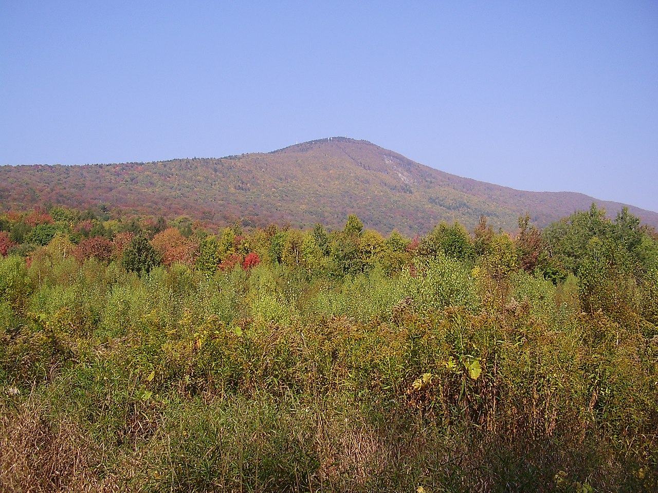 Mount GreylockSummitPhoto: Jstergis, CC BY 3.0 (via Wikimedia Commons)~35 min drive
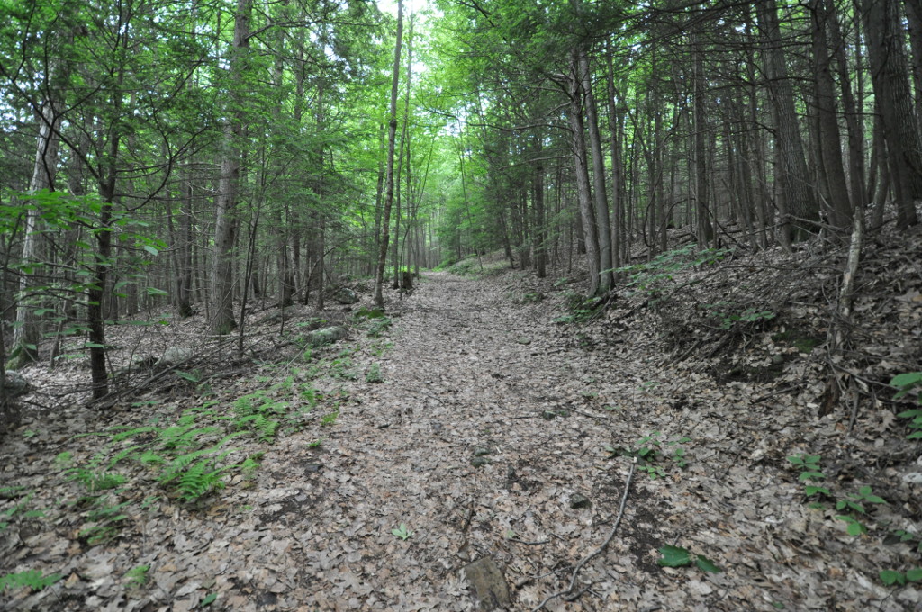 Petticoat HillSummitPhoto: User:Magicpiano, CC BY-SA 4.0 (via Wikimedia Commons)~36 min drive
- Massaemett MountainSummit~11 min drive
- Todd MountainSummit~15 min drive
- Mount OlgaSummit~19 min drive
- Moore HillSummit~26 min drive
- Wantastiquet MountainSummit~29 min drive
Conditions and forecast
Daily highs and lows, wind and the chance of precipitation at the summit for the next 7 days, from the Open-Meteo model.
Questions about Stone Mountain
How tall is Stone Mountain?
1,699 ft (518 m).
Is there a trail to the top of Stone Mountain?
We don't know of a mapped trail or route to the summit. Plan the approach with local maps, a guidebook or a local guide.
Ask about this place
Questions about Stone Mountain: conditions, access, timing. Answers say when something isn't known.
