Sheep Canyon
At a glance
Sheep Canyon is a 14.88-mile out-and-back trail in California managed by the National Park Service. The route gains 4,839 feet of elevation.
- round trip
- 7.4 mi
- climb
- 4,839 ft
- route
- Out and back
- difficulty
- Expert
Near: Furnace Creek
Loading this week's forecast
Been here? Tell people how it was.
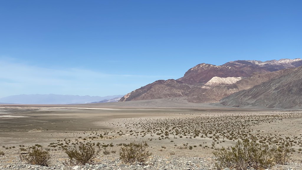 Sidewinder CanyonHikingPhoto: lamblukas, CC BY 2.0 (via Flickr)~11 min drive
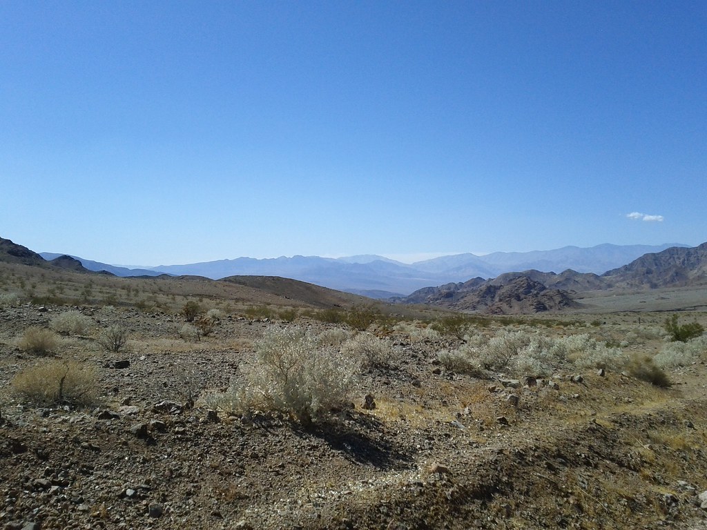 Virgin Springs CanyonHikingPhoto: Michael Voelker, CC BY 2.0 (via Flickr)~17 min drive
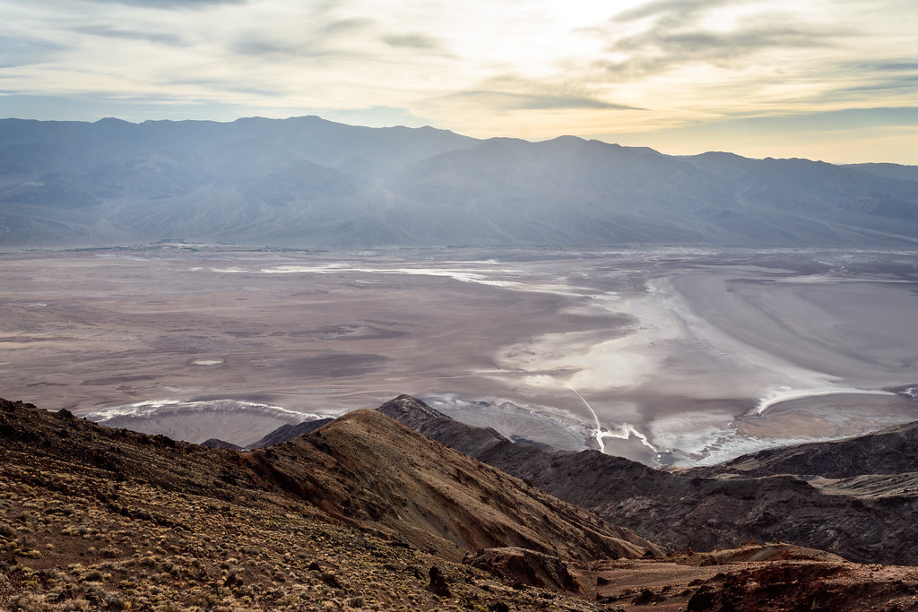 Dantes PeakHikingPhoto: dconvertini, CC BY-SA 2.0 (via Flickr)~21 min drive
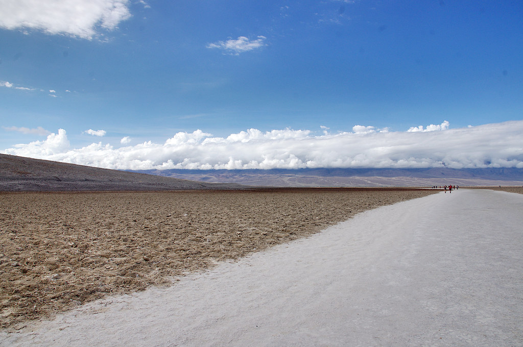 Badwater Salt FlatsHikingPhoto: Juhele_CZ, Public Domain Dedication (CC0) (via Flickr)~23 min drive
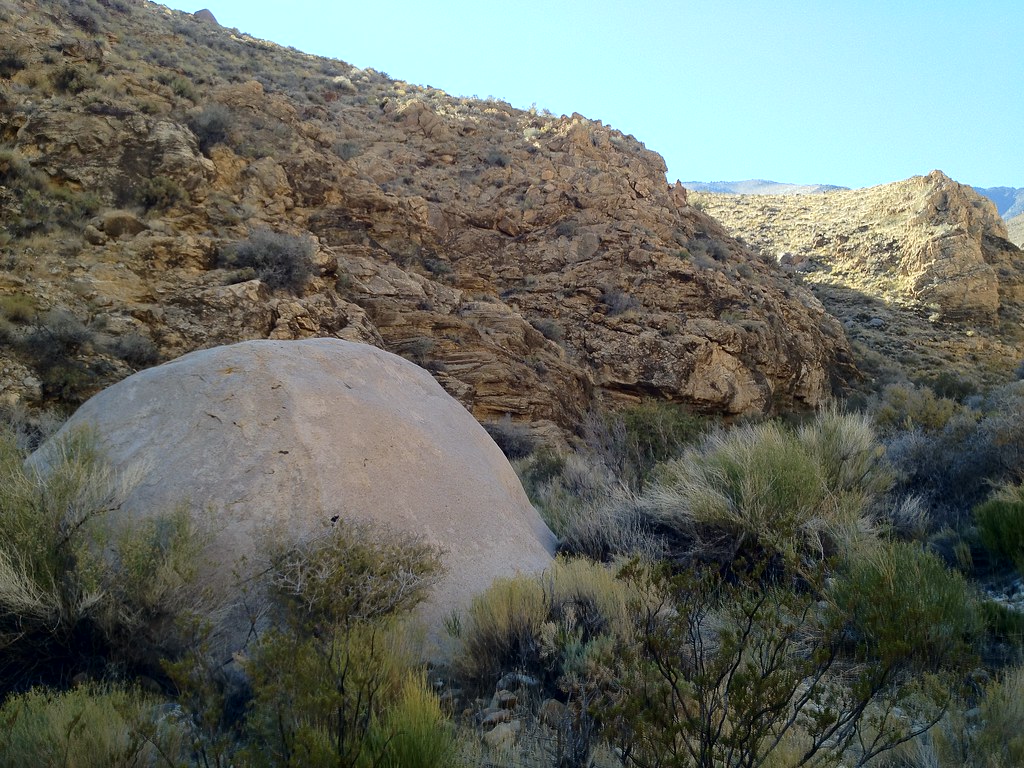 Hungry Bill's RanchHikingPhoto: stevelyon, CC BY-SA 2.0 (via Flickr)~36 min drive
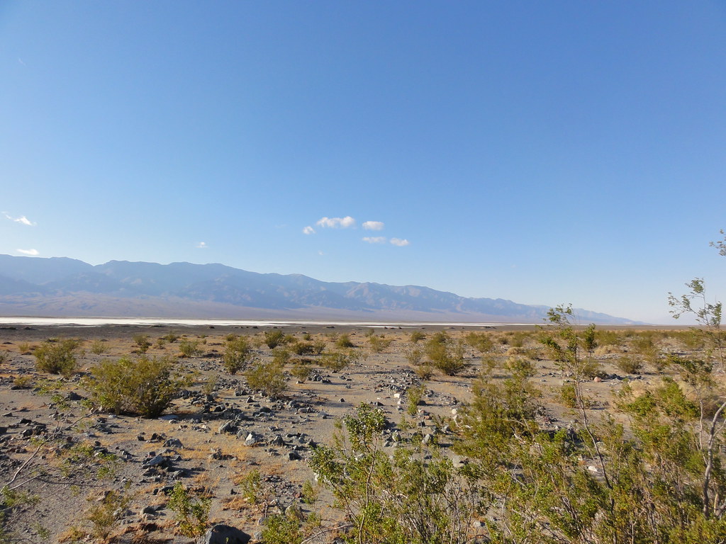 Willow CanyonHikingPhoto: inazakira, CC BY-SA 2.0 (via Flickr)~11 min drive
- Telescope PeakHiking~46 min drive
- Natural BridgeHiking~29 min drive
- Hanaupah Canyon hiking routeHiking~41 min drive
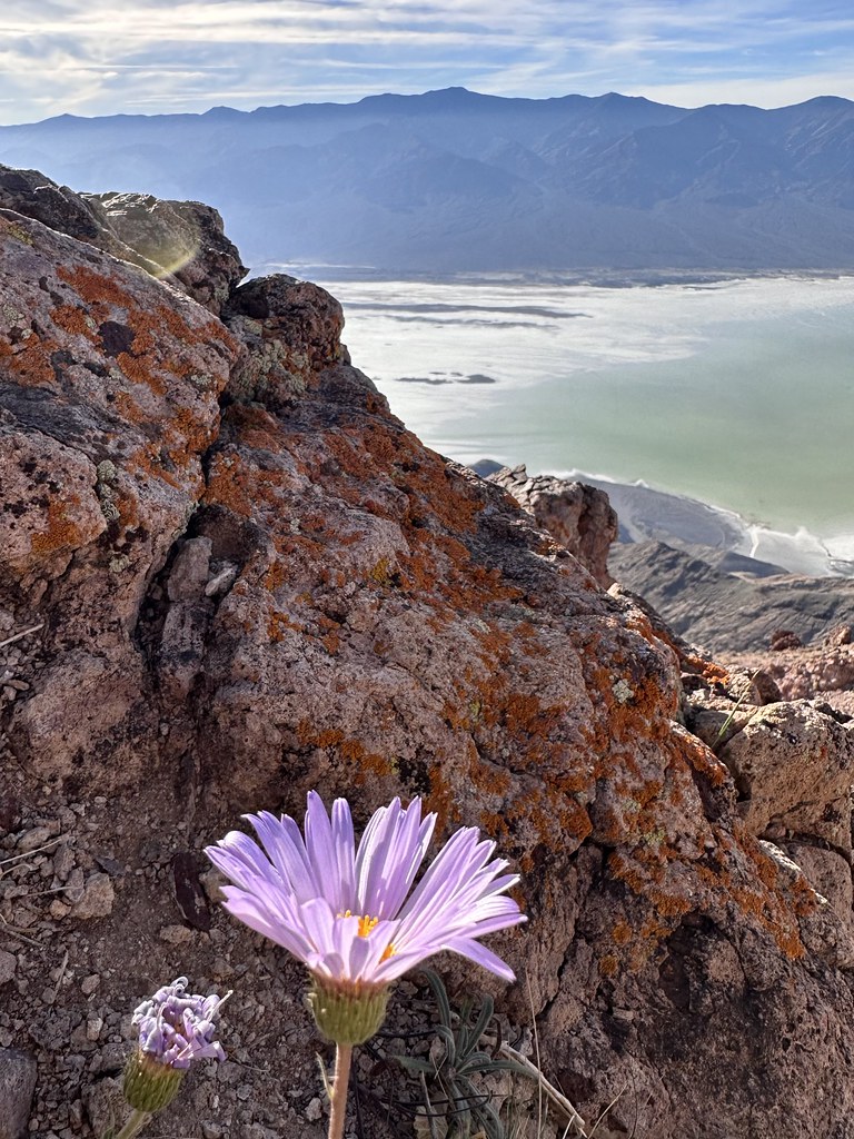 Mount PerryHikingPhoto: Seth Tisue, CC BY-SA 2.0 (via Flickr)~21 min drive
Conditions and forecast
Daily highs and lows, wind and the chance of precipitation at Start for the next 7 days, from the Open-Meteo model.


Ask about this place
Questions about Sheep Canyon: conditions, access, timing. Answers say when something isn't known.
