Gold Ranch RV Resort
Campground
3.4 mi from the trail
River Rock is a climbing area in the Carson Ranger District of the Humboldt-Toiyabe National Forest in California, managed by a non-governmental organization. It sits right beside the Tahoe-Pyramid Trail, about a tenth of a mile away, and the Main Wall climbing area is roughly 0.3 miles off, making it easy to pair with other outings in the district. The climbing here is a single route, FM a.k.a. F*%K Me, a trad climb rated 5.10 on the YDS scale. That puts it in the upper intermediate range, so expect a route that tests your technique and holds rather than a straightforward climb. Summer is the most comfortable time to visit. Typical averages from a nearby weather station at Verdi, about 5 miles away, show July highs around 85°F with lows near 53°F, while winter highs sit in the low 40s. Boca Springs campground is about 4 miles away, and Stampede Reservoir offers water recreation roughly 6 miles out. Across the Nevada line, the West Side climbing area is about 6.4 miles away.
1 route · 5.10 · Trad
Where it is: Carson Ranger District · Humboldt-Toiyabe National Forest
Blocked today
Weather is adverse; agency alerts are in effect for this area · USFS, OpenWeather · checked just now
Best months: April–October. Best months have typical highs of 55–85 °F, lows of 30 °F or warmer (32 °F where the station doesn't record snow), at most one snowy day and no more than 12 wet days.
Jan
42°
24°
Feb
45°
26°
Mar
51°
30°
Apr
56°
33°
May
65°
40°
Jun
75°
47°
Jul
85°
53°
Aug
84°
52°
Sep
77°
47°
Oct
64°
38°
Nov
52°
30°
Dec
42°
23°
Typical high / low (°F) and days with rain or snow, 1991–2020. Measured at Verdi 2w, CA, 5 mi away at 5,429 ft. This station doesn't record snowfall. Source: NOAA NCEI U.S. Climate Normals 1991–2020.
Been here? Tell people how it was.
 Tahoe-Pyramid TrailHikingPhoto: On^ste82, CC BY 3.0 (via Wikimedia Commons)0.1 mi
 Fishermans TrailHikingPhoto: fred.garz, CC BY-SA 2.0 (via Flickr)4.1 mi
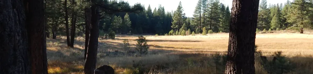 Boca SpringCampingPhoto: Recreation.gov (RIDB) / public domain4.4 mi
Daily highs and lows, wind and the chance of precipitation at River Rock for the next 7 days, from the Open-Meteo model.
Questions about River Rock: conditions, access, timing. Answers say when something isn't known.
Gold Ranch RV Resort
Campground
Glenshire Pizza Company
Restaurant
Museum of Truckee History
Museum
Places © OpenStreetMap contributors
More in Sunnyside-Tahoe City