Redondito Trail
At a glance
Redondito Trail is a 13.44-mile out-and-back hike in New Mexico managed by the National Park Service. The trail gains 959 feet of elevation.
- round trip
- 6.7 mi
- climb
- 959 ft
- route
- Out and back
- difficulty
- Hard
- best months
- May–Jun, Sep
Near: Española
Best time to visit Redondito Trail
Best months: May–June and September. Best months have typical highs of 55–85 °F, lows of 30 °F or warmer (32 °F where the station doesn't record snow), at most one snowy day and no more than 12 wet days.
Jan
36°
9°
9 wet
Feb
38°
12°
9 wet
Mar
44°
20°
9 wet
Apr
52°
25°
8 wet
May
62°
32°
8 wet
Jun
72°
39°
8 wet
Jul
74°
45°
15 wet
Aug
71°
43°
15 wet
Sep
66°
35°
11 wet
Oct
57°
26°
7 wet
Nov
45°
17°
6 wet
Dec
36°
9°
9 wet
Typical high / low (°F) and days with rain or snow, 1991–2020. Measured at Los Alamos 13 W, NM, 3.4 mi away at 8,716 ft. We don't have this place's elevation, so higher spots nearby can run cooler. This station doesn't record snowfall. Source: NOAA NCEI U.S. Climate Normals 1991–2020.
Been here? Tell people how it was.
- Saddle ShedHiking~6 min drive
 Cerro La Jara TrailHikingPhoto: Ken Lund from Reno, Nevada, USA, CC BY-SA 2.0 (via Wikimedia Commons)~8 min drive
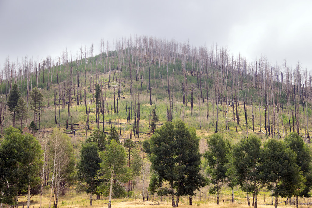 Coyote Call TrailHikingPhoto: Paul and Jill, CC BY 2.0 (via Flickr)~11 min drive
 East ForkHikingPhoto: RuggyBearLA, CC BY 2.0 (via Flickr)~11 min drive
- Abrigo TrailHiking~8 min drive
- Cerro La Jara Stop 7Hiking~8 min drive
 Pond TrailHikingPhoto: cogdogblog, CC0 (via Wikimedia Commons)~8 min drive
- Alamo Canyon TrailHiking~5 min drive
- Cerro de la Garita TrailHiking~10 min drive
- Backcountry Driving RouteHiking~9 min drive
Conditions and forecast
Daily highs and lows, wind and the chance of precipitation at Start for the next 7 days, from the Open-Meteo model.

Ask about this place
Questions about Redondito Trail: conditions, access, timing. Answers say when something isn't known.
