Mount Mitchell Campground
Campground
Campground · 5.3 mi from the trail
Closure in the area
There's a closure order in National Forests in North Carolina. It doesn't name Pisgah National Forest, so check the source for the area it covers (2 listed).
Maple Sally Road Closure
Agency closure covering National Forests in North Carolina · USFS · National Forests in North Carolina
Table Rock Road construction starts Nov. 2, 2026
Agency closure covering National Forests in North Carolina · USFS · National Forests in North Carolina
Temporary Closure - The Elk Falls Trail
Agency alert covering National Forests in North Carolina · USFS · National Forests in North Carolina
Rainbow Springs Road closed for reconstruction
Agency alert covering National Forests in North Carolina · USFS · National Forests in North Carolina
Siddie Fields Day Use Area closed for improvements
Agency alert covering National Forests in North Carolina · USFS · National Forests in North Carolina
As of · Source: USFS · National Forests in North Carolina. Agencies don't list every closure — check before you go.
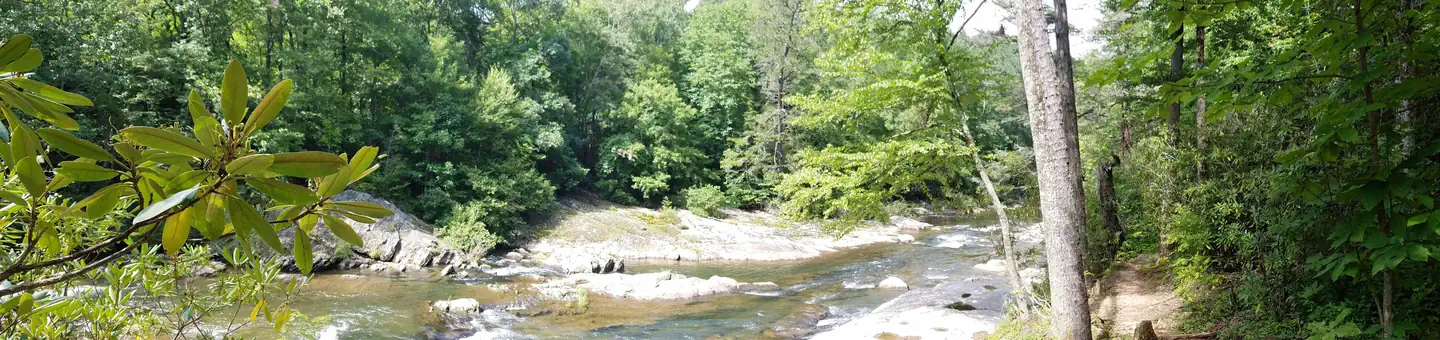
The Pisgah National Forest is a land of mile-high peaks, cascading waterfalls, and heavily forested slopes. Comprised of over 500,000 acres, the Pisgah is primarily a hardwood forest with whitewater rivers, waterfalls and hundreds of miles of trails. This national forest is home of the first tract of land purchased under the Weeks Act of 1911 which led to the creation of the national forests in the eastern United States. It is also home of the first school of forestry in the United States, now preserved at the Cradle of Forestry in America historic site, and boasts two of the first designated wilderness areas in the east. The Pisgah, Grandfather and Appalachian Ranger Districts are scattered along the eastern edge of the mountains of western North Carolina and offer visitors a variety of opportunities for outdoor recreation and enjoying the natural beauty of the mountains.Camping and Day-use InformationEnjoy camping or a picnic at one of the many day-use areas. A list of camping and day-use areas in the Pisgah National Forest can be found here Recreation MapsNantahala & Pisgah National Forest MapsDirections to Frequently Requested PlacesNC Arobretum and Bent Creek AreaBlue Ridge Parkway SouthBlue Ridge Parkway NorthPisgah Ranger DistrictCradle of ForestryCradle of Forestry (Scenic Route)The Biltmore HouseMt. MitchellBe SafeThe national forests in North Carolina offer a wide variety of outdoor recreation opportunities. From the mountains to the sea, there are many exciting adventures awaiting your visit to these national forests. Please keep in mind that all outdoor recreational activities on the Croatan, Pisgah, Nantahala and Uwharrie national forests, including activities at recreation sites, have inherent risks due to the natural setting in which they occur. Always remember, your safety is your responsibility.Waterfall Safety for the Summer.
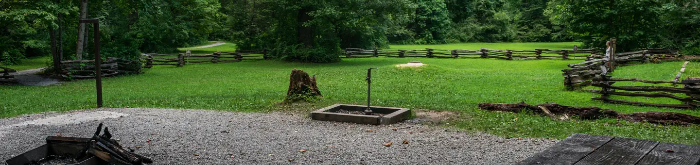
Mount Mitchell Campground
Campground
Mount Mitchell State Park Restaurant
Restaurant
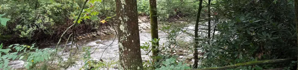
 If it rainsDavidhuffcreative, CC BY-SA 4.0 · Wikimedia Commons
Places © OpenStreetMap contributors, Places © Overture Maps Foundation · Photos: Davidhuffcreative, CC BY-SA 4.0 (commons)
More in Spruce PineNot on Roamze yet. Their page has how to reach them.
 Briar Bottom Group CampCampingPhoto: Wncoutdoors, CC BY-SA 3.0 (via Wikimedia Commons)7.8 mi
 Black Mountain CampgroundCampingPhoto: Recreation.gov (RIDB) / public domain8.2 mi
Source: Roamze catalog (indexable pages within 10 miles, PostGIS distance)
Best months: March–April and September–November. Best months have typical highs of 55–85 °F, lows of 30 °F or warmer (32 °F where the station doesn't record snow), at most one snowy day and no more than 12 wet days.
Jan
48° / 28°
11 wet
Feb
52° / 30°
11 wet
Mar
58° / 36°
12 wet
Apr
67° / 44°
12 wet
May
75° / 53°
13 wet
Jun
81° / 60°
13 wet
Jul
84° / 63°
15 wet
Aug
82° / 62°
13 wet
Sep
77° / 56°
10 wet
Oct
68° / 46°
9 wet
Nov
59° / 36°
9 wet
Dec
51° / 31°
11 wet
Typical high / low (°F) and days with rain or snow, 1991–2020. Measured at N Fk 2, NC, 7.2 mi away at 2,480 ft. The station sits about 800 ft lower than this place, so expect it a little cooler here. This station doesn't record snowfall. Source: NOAA NCEI U.S. Climate Normals 1991–2020.
Pisgah National Forest Driving Safety Alert
National Forests in North Carolina · Order dated July 10, 2025; seen Aug 23, 2026, no lift recorded · Forest Service