Piney Creek - South Loop
At a glance
Piney Creek - South Loop is a 7.3-mile out-and-back hike in Missouri's Piney Creek Wilderness, part of the Ava/Cassville/Willow Springs Ranger District of Mark Twain National Forest. The trail is managed by the Forest Service and rated moderate, with a total elevation gain of 439 feet. Spring and fall are the most comfortable times to go. Typical averages from a nearby weather station in Galena show October highs around 70°F with lows near 44°F, and May highs around 77°F. July and August average highs near 89°F. The Piney Creek-Tower Loop lies about 2 miles away, and the Piney Creek Wilderness Trail is about 2.3 miles off. For fishing, Shell Knob Rec Site Pavilion is about 4 miles away and Cape Fair is about 5.4 miles away.
- round trip
- 3.6 mi
- climb
- 439 ft
- route
- Out and back
- difficulty
- Moderate
- best months
- Mar–Jun, Sep–Nov
Where it is: Piney Creek Wilderness · Ava/Cassville/Willow Springs Ranger District
Near: Shell Knob
Best time to visit Piney Creek - South Loop
Best months: March–June and September–November. Best months have typical highs of 55–85 °F, lows of 30 °F or warmer (32 °F where the station doesn't record snow), at most one snowy day and no more than 12 wet days.
Jan
45°
22°
6 wet
Feb
50°
25°
6 wet
Mar
59°
34°
8 wet
Apr
68°
43°
10 wet
May
77°
53°
11 wet
Jun
85°
63°
9 wet
Jul
89°
66°
8 wet
Aug
89°
65°
7 wet
Sep
82°
56°
7 wet
Oct
70°
44°
8 wet
Nov
58°
33°
7 wet
Dec
47°
25°
6 wet
Typical high / low (°F) and days with rain or snow, 1991–2020. Measured at Galena, MO, 12.1 mi away at 1,027 ft. We don't have this place's elevation, so higher spots nearby can run cooler. This station doesn't record snowfall. Source: NOAA NCEI U.S. Climate Normals 1991–2020.
Been here? Tell people how it was.
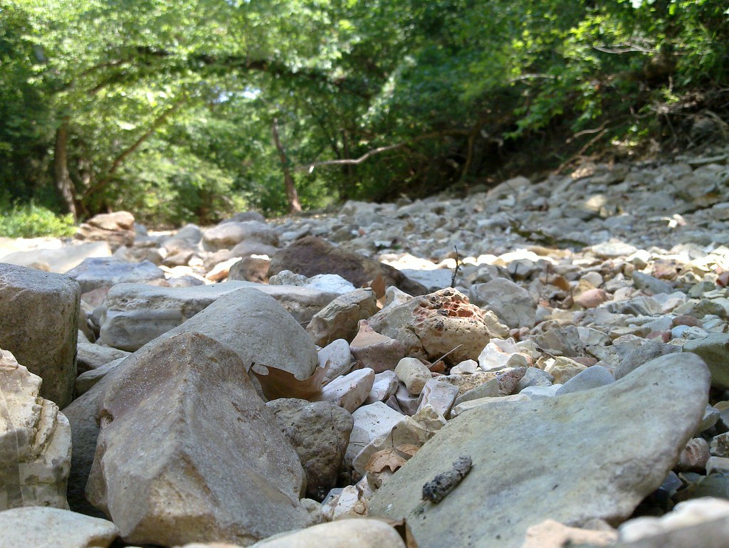 Piney Creek-Tower LoopHikingPhoto: My Blue Van, CC BY-SA 2.0 (via Flickr)2.1 mi
- Piney Creek Wilderness TrailHiking2.3 mi
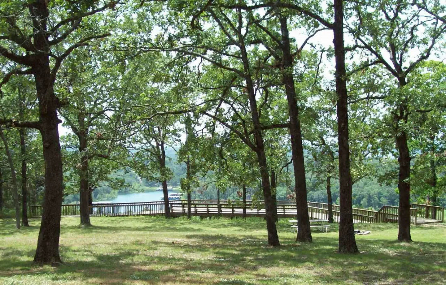 Shell Knob Rec Site PavilionRiver fishing3.9 mi
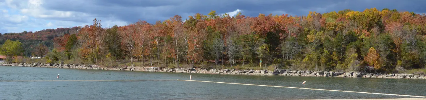 Cape FairLake fishing5.4 mi
 Campbell PointLake fishing5.8 mi
 ViolaRiver fishing7.4 mi
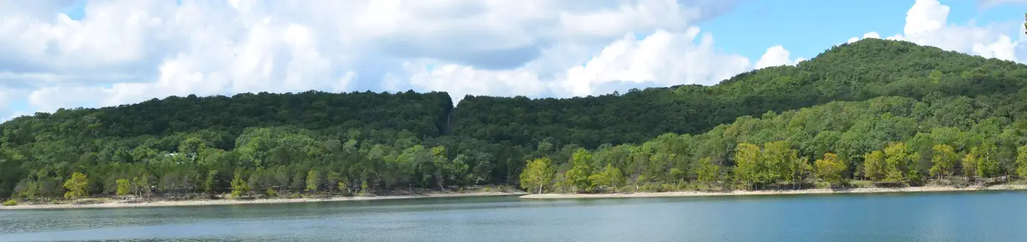 Aunts CreekRiver fishing8 mi
 Big MLake fishing8.7 mi
- Piney Creek-Tower LoopHikingPhoto: My Blue Van, CC BY-SA 2.0 (via Flickr)~4 min drive
 Fire Tower TrailHikingPhoto: dfellow, CC BY 2.0 (via Flickr)~24 min drive
 River TrailHikingPhoto: dfellow, CC BY 2.0 (via Wikimedia Commons)~24 min drive
- White River Valley Trail SystemHiking~31 min drive
- Devils Kitchen TrailHikingPhoto: dfellow, CC BY 2.0 (via Wikimedia Commons)~24 min drive
 Eagles Nest TrailHikingPhoto: dfellow, CC BY 2.0 (via Wikimedia Commons)~24 min drive
- Busiek Yellow TrailHiking~43 min drive
- Piney Creek Wilderness TrailHiking~4 min drive
- Springhouse TrailHikingPhoto: dfellow, CC BY 2.0 (via Wikimedia Commons)~25 min drive
- Hidden Diversity Multi-Use TrailHiking~57 min drive
Conditions and forecast
Caution todayAgency alerts are in effect for this areaUSFS · checked 9 min agoDaily highs and lows, wind and the chance of precipitation at Start for the next 7 days, from the Open-Meteo model.
Ask about this place
Questions about Piney Creek - South Loop: conditions, access, timing. Answers say when something isn't known.
Local outfitters
- Float Eureka20 mi away
- Kings River Outfitters25 mi away
Not on Roamze yet. Their page has how to reach them.
