Big Bay Day Use Boating Site
- Mar–Jun, Sep–Nov
- best months
Is Big Bay Day Use Boating Site open right now?
Alert in the area
The Forest Service lists 12 alerts for Mark Twain National Forest.
Crane Lake Dam
Agency alert covering Mark Twain National Forest · USFS · Mark Twain National Forest
Delays on Forest Road 557
Agency alert covering Mark Twain National Forest · USFS · Mark Twain National Forest
Forest Order - Trail 119 Closure Extended (Chadwick Motorized Trail System)
Agency alert covering Mark Twain National Forest · USFS · Mark Twain National Forest
Forest Order - Trail 119 Closure (Chadwick Motorized Trail System)
Agency alert covering Ava/Cassville/Willow Springs Ranger District · Order 09-05-21-26-06 · USFS · Ava/Cassville/Willow Springs Ranger District
Forest Order 09-05-21-26-03 National Forest System Road 566 Closure
Agency alert covering Ava/Cassville/Willow Springs Ranger District · Order 09-05-21-26-03 · USFS · Ava/Cassville/Willow Springs Ranger District
As of · Source: USFS · Mark Twain National Forest. Agencies don't list every closure — check before you go.
Big Bay Day Use Boating Site is a day-use boating site in the Ava/Cassville/Willow Springs Ranger District of Mark Twain National Forest in Missouri, about 2 miles from the town of Shell Knob. It is a simple stop for getting a boat onto the water, with vault toilets as the only facility. Day use costs $5 per vehicle per day. That's the fee for the site itself, and it covers the basics for a day on the water. For comfortable weather, aim for late spring or early fall. Typical averages from a nearby weather station in Galena show May highs around 77°F and September highs around 82°F, while July and August average highs near 89°F. Several other spots sit within a short drive. Shell Knob Rec Site Pavilion, a river fishing site, is about 1.5 miles away, and Campbell Point, a lake fishing site, is about 2 miles off. Piney Creek - South Loop, a hike, is roughly 4 miles away, and Viola, another river fishing site, is about 4 miles out.
- Fee
- Day Use: $5 per vehicle per day
- Restrooms
- Yes
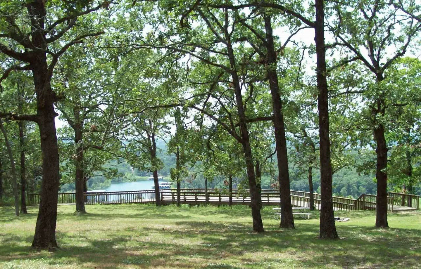 Shell Knob Rec Site PavilionRiver fishing1.5 mi
 Campbell PointLake fishing2 mi
- Piney Creek - South LoopHiking3.9 mi
 ViolaRiver fishing4.2 mi
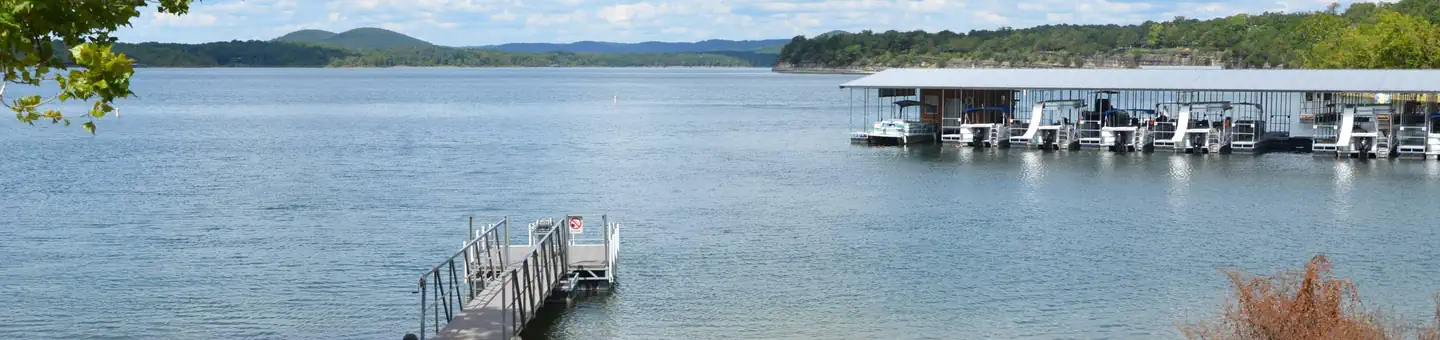 BaxterRiver fishing5.3 mi
- Piney Creek Wilderness TrailHiking5.4 mi
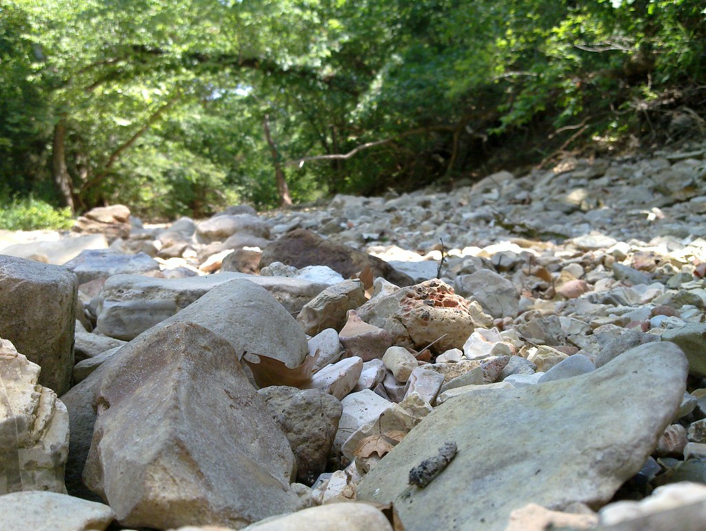 Piney Creek-Tower LoopHikingPhoto: My Blue Van, CC BY-SA 2.0 (via Flickr)5.7 mi
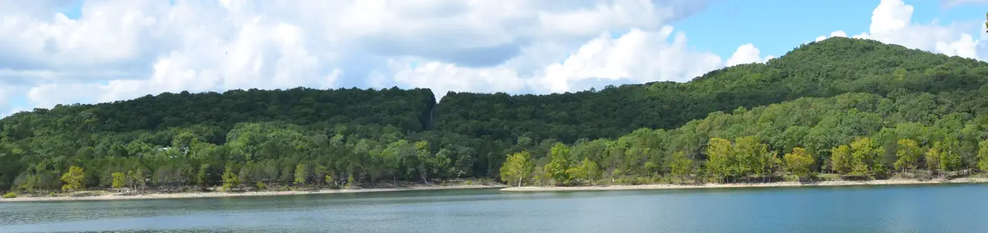 Aunts CreekRiver fishing7.2 mi
Source: Roamze catalog (indexable pages within 10 miles, PostGIS distance)
 Shoal CreekCanoeing · ~47 min drivePhoto: AbeEzekowitz, CC BY 3.0 (via Wikimedia Commons)
- Jackson Hollow Boat LaunchBoat launch · ~10 min drive
- Campbell PointTubing · ~3 min drive
 Kings RiverCanoeing · ~1h 12m drivePhoto: Brandonrush, CC BY-SA 3.0 (via Wikimedia Commons)
- Lower Flat Creek AccessBoat launch · ~16 min drive
- Cape FairTubing · ~13 min drive
- Flat CreekCanoeing · ~29 min drive
- Ralph Cox Memorial AccessBoat launch · ~24 min drive
- Yocum CreekCanoeing · ~30 min drive
- Kerr AccessBoat launch · ~28 min drive
Best time to visit Big Bay Day Use Boating Site
Best months: March–June and September–November. Best months have typical highs of 55–85 °F, lows of 30 °F or warmer (32 °F where the station doesn't record snow), at most one snowy day and no more than 12 wet days.
Jan
45° / 22°
6 wet
Feb
50° / 25°
6 wet
Mar
59° / 34°
8 wet
Apr
68° / 43°
10 wet
May
77° / 53°
11 wet
Jun
85° / 63°
9 wet
Jul
89° / 66°
8 wet
Aug
89° / 65°
7 wet
Sep
82° / 56°
7 wet
Oct
70° / 44°
8 wet
Nov
58° / 33°
7 wet
Dec
47° / 25°
6 wet
Typical high / low (°F) and days with rain or snow, 1991–2020. Measured at Galena, MO, 14.1 mi away at 1,027 ft. We don't have this place's elevation, so higher spots nearby can run cooler. This station doesn't record snowfall. Source: NOAA NCEI U.S. Climate Normals 1991–2020.
