Bear Canyon Trail #299
At a glance
Bear Canyon Trail #299 is an expert-level hike in Arizona's Coronado National Forest, within the Safford Ranger District. It is an out-and-back route of about 10 miles, with a total elevation gain of roughly 3,687 feet, which makes it a serious climb for anyone heading up to its high point of about 8,730 feet. The trail begins at a parking area called Ladybug Saddle, and the Forest Service manages the land. The low point of the route sits around 4,918 feet, so the climb is a long one from the start. For a trip on this trail, plan on a full day. Stockton Pass campground lies about 2.6 miles away, and the nearby Cove Canyon hike is about 1.6 miles off. Dutch Henry Canyon Trail #297 is about 5 miles away, and the Twilight Group Site offers camping about 5 miles from the trail.
- round trip
- 10.2 mi
- climb
- 3,687 ft
- high point
- 8,730 ft
- route
- Out and back
- time
- About 5 hours
Where it is: Safford Ranger District · Coronado National Forest
Near: Safford
Been here? Tell people how it was.
- COVE CANYONHiking1.6 mi
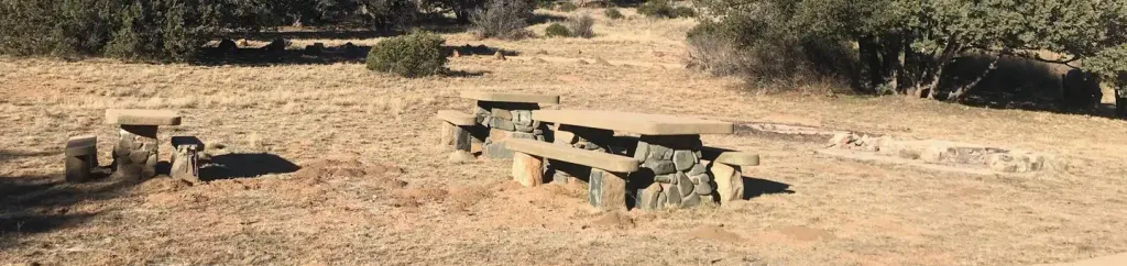 Stockton PassCampingPhoto: Recreation.gov (RIDB) / public domain2.6 mi
 Shake Trail #309HikingPhoto: squeaks2569, CC BY-SA 2.0 (via Flickr)3.6 mi
- Turkey FlatHikingPhoto: squeaks2569, CC BY-SA 2.0 (via Flickr)4.1 mi
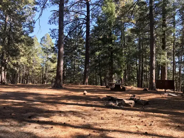 Upper Twilight Group SiteCampingPhoto: Recreation.gov (RIDB) / public domain5 mi
- Lower Twilight Group SiteCamping5 mi
- Twilight Group SiteCamping5 mi
- Dutch Henry Canyon Trail #297Hiking5.1 mi
- Turkey FlatHikingPhoto: squeaks2569, CC BY-SA 2.0 (via Flickr)~7 min drive
 Blair CanyonHikingPhoto: squeaks2569, CC BY-SA 2.0 (via Flickr)~21 min drive
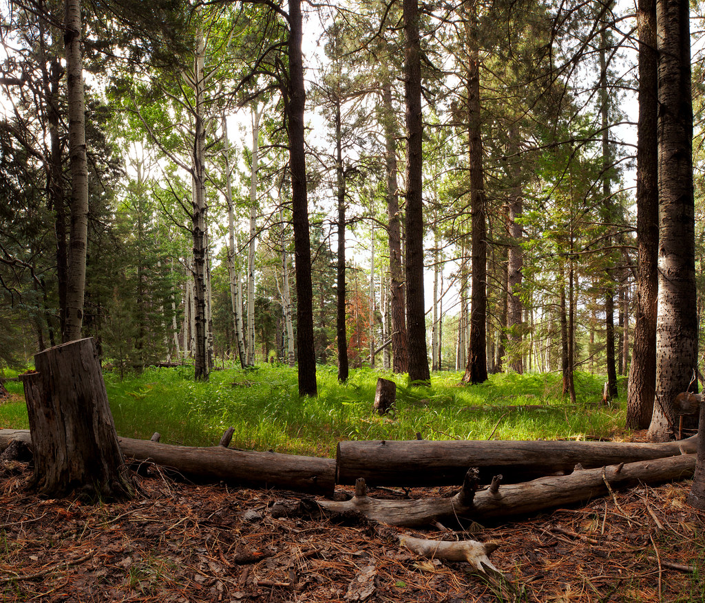 Jesus Goudy Ridge Trail #298HikingPhoto: squeaks2569, CC BY-SA 2.0 (via Flickr)~21 min drive
 Round the Mountain Trail #302HikingPhoto: em_burk, CC BY-SA 2.0 (via Flickr)~19 min drive
 Heliograph Trail #328AHikingPhoto: squeaks2569, CC BY-SA 2.0 (via Flickr)~11 min drive
- Shake Trail #309HikingPhoto: squeaks2569, CC BY-SA 2.0 (via Flickr)~6 min drive
- Dutch Henry Canyon Trail #297Hiking~9 min drive
- Noon Creek Ridge Trail #318Hiking~10 min drive
 Ash Creek DetourHikingPhoto: em_burk, CC BY-SA 2.0 (via Flickr)~20 min drive
- Arcadia Trail #328HikingPhoto: squeaks2569, CC BY-SA 2.0 (via Flickr)~11 min drive
Also worth it near here
- Stockton PassCamping~4 min drive
 Grant Hill Loop AMountain bikingPhoto: Kjunewright, CC BY-SA 4.0 (via Wikimedia Commons)~13 min drive
 Mount GrahamSummitPhoto: No machine-readable author provided. GreatInca assumed (based on copyright claims)., CC BY-SA 3.0 (via Wikimedia Commons)~16 min drive
- Ash Creek FallsWaterfall~20 min drive
Conditions and forecast on Ladybug Peak
Caution at last checkAgency alerts are in effect for this areaUSFS · checked 23 h agoDaily highs and lows, wind and the chance of precipitation at the summit and route start for the next 7 days, from the Open-Meteo model.
Ask about this place
Questions about Bear Canyon Trail #299: conditions, access, timing. Answers say when something isn't known.
Getting there
Park at LADYBUG SADDLE.
Other routes up Ladybug Peak
Questions about this route
How long is the Bear Canyon Trail #299 on Ladybug Peak?
About 10.2 mi round trip from LADYBUG SADDLE (about 4,918 ft).
How much elevation gain is on the Bear Canyon Trail #299?
About 3,687 ft of climbing round trip.
How hard is the Bear Canyon Trail #299?
It is rated expert.
Where does the Bear Canyon Trail #299 start?
LADYBUG SADDLE (about 4,918 ft).
How long does the Bear Canyon Trail #299 take?
About 5 hours round trip.
How many routes go up Ladybug Peak?
2: Ladybug Trail #329 and Bear Canyon Trail #299.
Map and trail data © OpenStreetMap contributors
