Cove Canyon
- 0.7 mi
- round trip
- 655 ft
- climb
- 5,317 ft
- high point
- Out and back
- route
- Feb–Apr, Oct–Nov
- best months
Is COVE CANYON open right now?
Alert in the area
The Forest Service lists 3 alerts for Coronado National Forest.
Border Barrier Construction Closure
Agency alert covering Coronado National Forest · Order 03-05-00-26-011 · USFS · Coronado National Forest
No Fire Restrictions
Agency alert covering Coronado National Forest · USFS · Coronado National Forest
Barfoot Snake Closure Order 03-05-01-24-004
Agency alert covering Coronado National Forest · USFS · Coronado National Forest
As of · Source: USFS · Coronado National Forest. Agencies don't list every closure — check before you go.
Cove Canyon is an easy out-and-back hike on Forest Service land in Arizona's Coronado National Forest, within the Safford Ranger District. The trail is about 1.3 miles long, with a total elevation gain of 655 feet, and it starts at 4,908 feet before climbing to a high point of 5,317 feet. The climb is front-loaded, and the steepest stretch comes around 0.35 miles in at about 24%. Spring and fall are the most comfortable times to go. Typical averages from the nearby Willcox weather station, which sits roughly 1,100 feet lower, show April highs near 79°F and October highs around 82°F, while summer highs there climb into the mid-90s. The hike takes about an hour to complete, and the trailhead sits within the Safford Ranger District. Bear Canyon Trail #299 lies about 1.6 miles away, and Stockton Pass campground is about 4 miles off. Dutch Henry Canyon Trail #297 and Shake Trail #309 are both within about 5 miles.
- Bear Canyon Trail #299Hiking1.6 mi
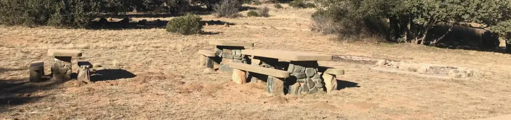 Stockton PassCampingPhoto: Recreation.gov (RIDB) / public domain4.1 mi
 Shake Trail #309HikingPhoto: squeaks2569, CC BY-SA 2.0 (via Flickr)5.1 mi
- Dutch Henry Canyon Trail #297Hiking5.2 mi
- Turkey FlatHikingPhoto: squeaks2569, CC BY-SA 2.0 (via Flickr)5.5 mi
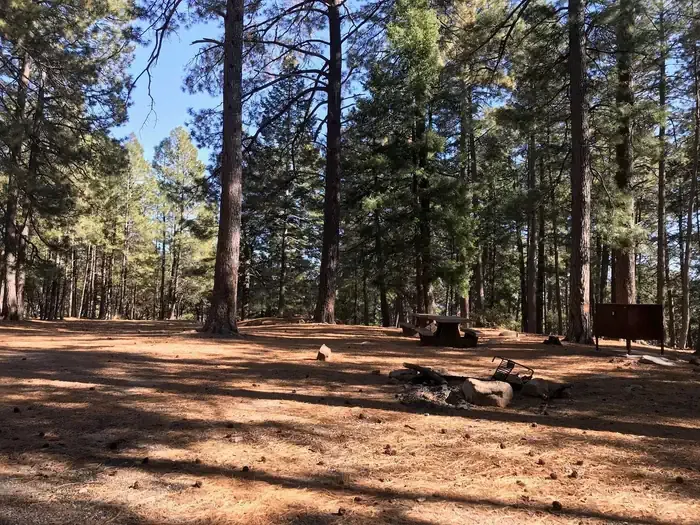 Upper Twilight Group SiteCampingPhoto: Recreation.gov (RIDB) / public domain6.4 mi
- Lower Twilight Group SiteCamping6.4 mi
- Twilight Group SiteCamping6.4 mi
Source: Roamze catalog (indexable pages within 10 miles, PostGIS distance)
- Shake Trail #309Hiking · ~9 min drivePhoto: squeaks2569, CC BY-SA 2.0 (via Flickr)
- Turkey FlatHiking · ~9 min drivePhoto: squeaks2569, CC BY-SA 2.0 (via Flickr)
 Round the Mountain Trail #302Hiking · ~22 min drivePhoto: em_burk, CC BY-SA 2.0 (via Flickr)
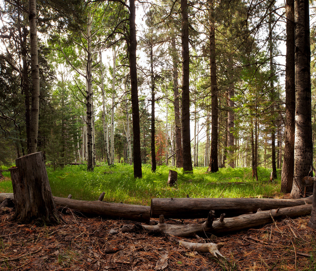 Jesus Goudy Ridge Trail #298Hiking · ~24 min drivePhoto: squeaks2569, CC BY-SA 2.0 (via Flickr)
 Blair CanyonHiking · ~24 min drivePhoto: squeaks2569, CC BY-SA 2.0 (via Flickr)
 Heliograph Trail #328AHiking · ~13 min drivePhoto: squeaks2569, CC BY-SA 2.0 (via Flickr)
- Noon Creek Ridge Trail #318Hiking · ~12 min drive
- Dutch Henry Canyon Trail #297Hiking · ~9 min drive
- Arcadia Trail #328Hiking · ~14 min drivePhoto: squeaks2569, CC BY-SA 2.0 (via Flickr)
 Ash Creek DetourHiking · ~23 min drivePhoto: em_burk, CC BY-SA 2.0 (via Flickr)
Also worth it near here
- Stockton PassCamping · ~7 min drive
 Grant Hill LoopMountain biking · ~16 min drivePhoto: Kjunewright, CC BY-SA 4.0 (via Wikimedia Commons)
 Mount GrahamSummit · ~19 min drivePhoto: No machine-readable author provided. GreatInca assumed (based on copyright claims)., CC BY-SA 3.0 (via Wikimedia Commons)
- Dankworth PondLake fishing · ~21 min drive
Best time to visit COVE CANYON
Best months: February–April and October–November. Best months have typical highs of 55–85 °F, lows of 30 °F or warmer (32 °F where the station doesn't record snow), at most one snowy day and no more than 12 wet days.
Jan
61° / 28°
5 wet
Feb
65° / 32°
5 wet
Mar
72° / 36°
3 wet
Apr
79° / 42°
2 wet
May
87° / 50°
2 wet
Jun
97° / 59°
3 wet
Jul
96° / 66°
10 wet
Aug
94° / 65°
10 wet
Sep
90° / 57°
6 wet
Oct
82° / 45°
4 wet
Nov
70° / 34°
4 wet
Dec
60° / 28°
5 wet
Typical high / low (°F) and days with rain or snow, 1991–2020. Measured at Willcox, AZ, 20.8 mi away at 4,170 ft. The station sits about 1,100 ft lower than this place, so expect it a little cooler here. Source: NOAA NCEI U.S. Climate Normals 1991–2020.
