Dutch Henry Canyon Trail #297
- 11.3 mi
- round trip
- 4,289 ft
- climb
- 8,122 ft
- high point
- Out and back
- route
Caution today
Agency alerts are in effect for this area; weather is good · USFS, OpenWeather · checked just now
Is Dutch Henry Canyon Trail #297 open right now?
Alert in the area
The Forest Service lists 3 alerts for Coronado National Forest.
Border Barrier Construction Closure
Agency alert covering Coronado National Forest · Order 03-05-00-26-011 · USFS · Coronado National Forest
No Fire Restrictions
Agency alert covering Coronado National Forest · USFS · Coronado National Forest
Barfoot Snake Closure Order 03-05-01-24-004
Agency alert covering Coronado National Forest · USFS · Coronado National Forest
As of · Source: USFS · Coronado National Forest. Agencies don't list every closure — check before you go.
Dutch Henry Canyon Trail #297 is an out-and-back hike of about 11 miles in Arizona's Coronado National Forest, within the Safford Ranger District. The trail climbs from a low point of about 3,800 feet to a high of about 8,100 feet, a total gain of roughly 4,300 feet, and is rated expert for its steepness and length. The route is an out-and-back with the high point near the top. That makes the one-way climb about half the total gain, so plan for a full day and expect to spend time on the ascent and descent. Several other trails and camps lie within a few miles. Ladybug Trail #329 and Turkey Flat are both about 4.5 miles away, Noon Creek Campground is about 4.8 miles off, and the Arcadia campground sits about 5.1 miles away.
- Ladybug Trail #329Hiking4.4 mi
 Turkey FlatHikingPhoto: squeaks2569, CC BY-SA 2.0 (via Flickr)4.5 mi
- Noon CreekCamping4.8 mi
- Noon Creek Ridge Trail #318Hiking4.8 mi
- Upper ArcadiaCamping5.1 mi
- ArcadiaCamping5.1 mi
- Bear Canyon Trail #299Hiking5.1 mi
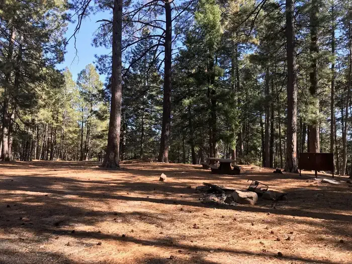 Upper Twilight Group SiteCampingPhoto: Recreation.gov (RIDB) / public domain5.3 mi
Source: Roamze catalog (indexable pages within 10 miles, PostGIS distance)
- Turkey FlatHiking · ~8 min drivePhoto: squeaks2569, CC BY-SA 2.0 (via Flickr)
 Round the Mountain Trail #302Hiking · ~19 min drivePhoto: em_burk, CC BY-SA 2.0 (via Flickr)
 Blair CanyonHiking · ~23 min drivePhoto: squeaks2569, CC BY-SA 2.0 (via Flickr)
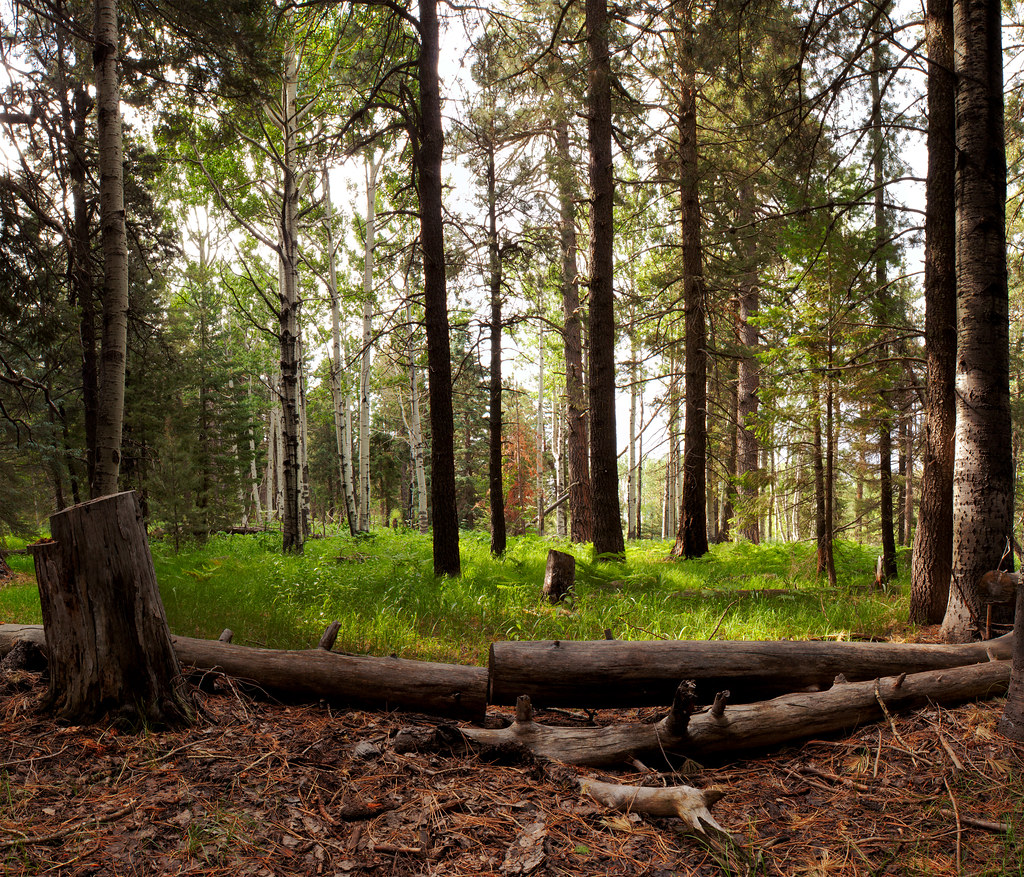 Jesus Goudy Ridge Trail #298Hiking · ~24 min drivePhoto: squeaks2569, CC BY-SA 2.0 (via Flickr)
 Heliograph Trail #328AHiking · ~12 min drivePhoto: squeaks2569, CC BY-SA 2.0 (via Flickr)
- Noon Creek Ridge Trail #318Hiking · ~8 min drive
- Shake Trail #309Hiking · ~9 min drivePhoto: squeaks2569, CC BY-SA 2.0 (via Flickr)
- Ladybug Trail #329Hiking · ~8 min drive
 Ash Creek DetourHiking · ~20 min drivePhoto: em_burk, CC BY-SA 2.0 (via Flickr)
- Gibson Canyon Trail #308Hiking · ~12 min drive
Also worth it near here
- Upper Twilight Group SiteCamping · ~9 min drive
- Dankworth PondLake fishing · ~13 min drive
 Big CreekMountain biking · ~14 min drivePhoto: Kjunewright, CC BY-SA 4.0 (via Wikimedia Commons)
 Mount GrahamSummit · ~16 min drivePhoto: No machine-readable author provided. GreatInca assumed (based on copyright claims)., CC BY-SA 3.0 (via Wikimedia Commons)
Map and trail data © OpenStreetMap contributors
