Mount Graham
 Photo: No machine-readable author provided. GreatInca assumed (based on copyright claims)., CC BY-SA 3.0 (via Wikimedia Commons)
- 10,708 ft
- summit
- Forest Service
- managed by
Is Mount Graham open right now?
Alert in the area
The Forest Service lists 3 alerts for Coronado National Forest.
Border Barrier Construction Closure
Agency alert covering Coronado National Forest · Order 03-05-00-26-011 · USFS · Coronado National Forest
No Fire Restrictions
Agency alert covering Coronado National Forest · USFS · Coronado National Forest
Barfoot Snake Closure Order 03-05-01-24-004
Agency alert covering Coronado National Forest · USFS · Coronado National Forest
As of · Source: USFS · Coronado National Forest. Agencies don't list every closure — check before you go.
Mount Graham is a summit of about 10,708 feet in Graham County, Arizona, within the Safford Ranger District of Coronado National Forest. The Forest Service manages the land, and the nearest town is Swift Trail Junction, about 9 miles away. Several trails and campgrounds sit within a few miles. Deadman Highline, a mountain biking route, is about half a mile away, and Frye Canyon is a hike about 1.6 miles off. Cunningham Campground and Upper Hospital Flat Group Site are both within about 2.5 miles.
Conditions and forecast
Daily highs and lows, wind and the chance of precipitation at the summit for the next 7 days, from the Open-Meteo model.
- Summit elevation
- 10,708 ft
- Land manager
- Forest Service
Elevation from USGS 3D Elevation Program terrain data (about 10 m resolution).
We don't know of a mapped trail or route to the summit of Mount Graham. Plan the approach with local maps, a guidebook or a local guide, and check conditions before you go.
Questions about Mount Graham
How tall is Mount Graham?
10,708 ft (3,264 m).
Is there a trail to the top of Mount Graham?
We don't know of a mapped trail or route to the summit. Plan the approach with local maps, a guidebook or a local guide.
 Deadman HighlineMountain bikingPhoto: Outdoor Craziness, CC BY-SA 3.0 (via Wikimedia Commons)0.6 mi
- Cunningham LoopMountain bikingPhoto: Outdoor Craziness, CC BY-SA 3.0 (via Wikimedia Commons)1.5 mi
- Frye CanyonHiking1.6 mi
 Round the Mountain Trail #302HikingPhoto: em_burk, CC BY-SA 2.0 (via Flickr)1.8 mi
- CunninghamCamping1.9 mi
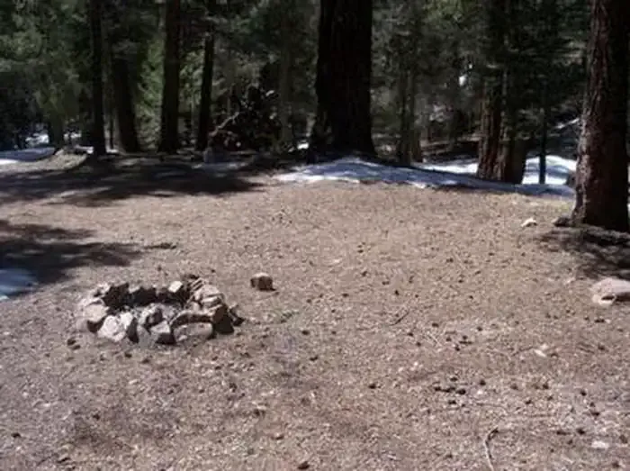 Upper Hospital Flat Group SiteCampingPhoto: Recreation.gov (RIDB) / public domain2.4 mi
- Hospital FlatCamping2.5 mi
- Treasure Park - NorthCamping2.6 mi
Source: Roamze catalog (indexable pages within 10 miles, PostGIS distance)
 Mount TurnbullSummit · ~59 min drivePhoto: sothoma101, CC BY-SA 3.0 (via Wikimedia Commons)
- Grant HillSummit · ~5 min drive
- Heliograph PeakSummit · ~6 min drive
- Frye MesaSummit · ~7 min drive
- Ladybug PeakSummit · ~11 min drive
- Clark PeakSummit · ~12 min drive
- Mud Springs KnollSummit · ~12 min drive
- Mud Spring MesaSummit · ~41 min drive
- Kennedy PeakSummit · ~44 min drive
- Grassy PeakSummit · ~51 min drive
Also worth it near here
