Arch Canyon Trail
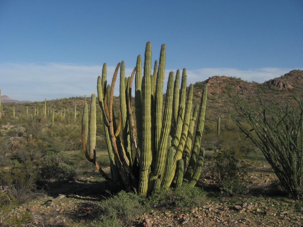
 Photo: daveynin, CC BY 2.0 (via Flickr)
At a glance
Arch Canyon Trail is a 2.5-mile out-and-back hike in Organ Pipe Cactus National Monument in Arizona, managed by the National Park Service. The route gains about 936 feet, from a low of roughly 2,570 feet to a high of about 3,506 feet, and is rated easy. The trail is a straightforward climb to the canyon's high point, and it works well as a short outing within the monument. A fee is charged, and the route is not open to horses or bikes. Estes Canyon Trail lies about 1.5 miles away, and Mount Ajo Trail and Bull Pasture Trail are each about 2 miles off. Alamo Canyon Trail is about 2.4 miles away.
- round trip
- 2.5 mi
- climb
- 936 ft
- high point
- 3,506 ft
- route
- Out and back
- time
- About 1.5 hours
Where it is: Organ Pipe Cactus National Monument
Near: Ajo
Been here? Tell people how it was.
 Estes Canyon TrailHikingPhoto: desertdutchman, CC BY 2.0 (via Flickr)1.5 mi
 Mount Ajo TrailHikingPhoto: RuggyBearLA, CC BY-SA 2.0 (via Flickr)2 mi
- Bull Pasture TrailHikingPhoto: RuggyBearLA, CC BY-SA 2.0 (via Flickr)2.1 mi
 Alamo Canyon TrailHikingPhoto: daveynin, CC BY 2.0 (via Flickr)2.4 mi
- Grass Canyon Access TrailHiking4.7 mi
 Palo Verde TrailHikingPhoto: daveynin, CC BY 2.0 (via Flickr)7.7 mi
- Campground Perimeter TrailHikingPhoto: daveynin, CC BY 2.0 (via Flickr)8.6 mi
- Desert View TrailHikingPhoto: daveynin, CC BY 2.0 (via Flickr)8.7 mi
- Estes Canyon TrailHikingPhoto: desertdutchman, CC BY 2.0 (via Flickr)~2 min drive
- Mount Ajo TrailHikingPhoto: RuggyBearLA, CC BY-SA 2.0 (via Flickr)~3 min drive
 Baker Mine TrailHikingPhoto: Ken Lund, CC BY-SA 2.0 (via Flickr)~15 min drive
- Sp-M Cráter La EscoriaHiking~1h 5m drive
- Bull Pasture TrailHikingPhoto: RuggyBearLA, CC BY-SA 2.0 (via Flickr)~4 min drive
- Grass Canyon Access TrailHiking~8 min drive
- Sp-NHiking~1h 20m drive
- Alamo Canyon TrailHikingPhoto: daveynin, CC BY 2.0 (via Flickr)~4 min drive
- Sp-L IiHiking~1h 20m drive
- Palo Verde TrailHikingPhoto: daveynin, CC BY 2.0 (via Flickr)~13 min drive
Conditions and forecast
Daily highs and lows, wind and the chance of precipitation at Start for the next 7 days, from the Open-Meteo model.


Ask about this place
Questions about Arch Canyon Trail: conditions, access, timing. Answers say when something isn't known.
Map and trail data © OpenStreetMap contributors
