Sp-N
An out-and-back trail, 0.5 miles each way (0.9 miles round trip) in Sonora, Mexico.
- 0.5 mi
- round trip
- 141 ft
- climb
- 1,574 ft
- high point
- Out and back
- route
Best time to visit Sp-N
Best months: November–March. Best months have typical highs of 55–85 °F, lows of 30 °F or warmer (32 °F where the station doesn't record snow), at most one snowy day and no more than 12 wet days.
Jan
71° / 41°
3 wet
Feb
73° / 43°
4 wet
Mar
79° / 47°
3 wet
Apr
86° / 52°
1 wet
May
93° / 59°
1 wet
Jun
102° / 68°
1 wet
Jul
104° / 76°
4 wet
Aug
103° / 75°
6 wet
Sep
99° / 70°
3 wet
Oct
90° / 59°
2 wet
Nov
79° / 48°
2 wet
Dec
70° / 41°
4 wet
Typical high / low (°F) and days with rain or snow, 1991–2020. Measured at Organ Pipe Cactus Nm, AZ, 40 mi away at 1,678 ft. Source: NOAA NCEI U.S. Climate Normals 1991–2020.
Sp-N is an out-and-back trail, 0.5 miles each way (0.9 miles round trip) in Sonora, Mexico, inside Reserva de la Biosfera El Pinacate y Gran Desierto de Altar. It runs between about 1,460 ft and 1,570 ft above sea level, with roughly 120 ft of climbing one way. The nearest town is Agua Zarca, about 20 miles north of the trailhead. Peaks within about 3 miles include El Cono Rojo. For camping, Campamento El Cono Rojo is within about 6 miles. Distances, elevations and the route shape here come from OpenStreetMap and the Copernicus 90 m elevation model. Trails, access rules and conditions change, so check locally before you go.
Keep exploring — more trails worth the drive
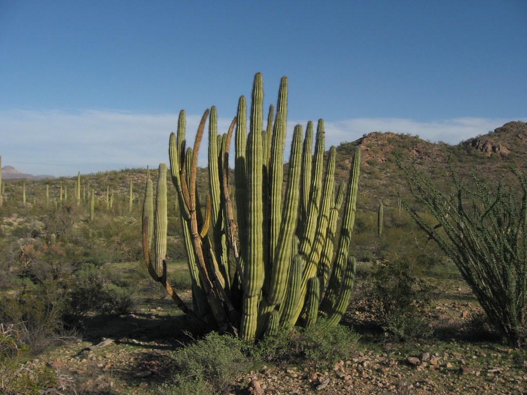 Photo: Ken Lund, CC BY-SA 2.0 (via Flickr)
Senita Basin-Red Tanks
~1h 5m drive
4.14-mile out-and-back trail in Arizona with 150 ft elevation gain.
Photo: Ken Lund, CC BY-SA 2.0 (via Flickr)Baker Mine Trail
~1h 5m drive
6.26-mile out-and-back hike in Arizona with 1,251 ft elevation gain
 Photo: RuggyBearLA, CC BY-SA 2.0 (via Flickr)
Mount Ajo Trail
~1h 21m drive
4.88-mile out-and-back hike to Mount Ajo summit with 2,572 ft gain in Arizona
Sp-L Ii
~1 min drive
An out-and-back trail, 6.7 miles each way (13 miles round trip) in Sonora, Mexico.
 Photo: daveynin, CC BY 2.0 (via Flickr)
Victoria Mine Trail
~1h 7m drive
4.31-mile out-and-back hike in Arizona with 72 ft gain.
Grass Canyon Access Trail
~1h 22m drive
6.32-mile out-and-back trail in Arizona with 363 ft elevation gain.
Sp-M Cráter La Escoria
~20 min drive
A 0.6-mile lollipop loop in Sonora, Mexico.
 Photo: daveynin, CC BY 2.0 (via Flickr)
Desert View Trail
~1h 7m drive
1.08-mile loop trail in Arizona with 174 ft elevation gain.
Sp-O
~24 min drive
An out-and-back trail, 1.1 miles each way (2.1 miles round trip) in Sonora, Mexico.
Photo: daveynin, CC BY 2.0 (via Flickr)Campground Perimeter Trail
~1h 7m drive
0.92-mile loop trail in Arizona with 47 ft elevation gain.

Conditions and forecast
Daily highs and lows, wind and the chance of precipitation at Sp-N for the next 7 days, from the Open-Meteo model.
Map and trail data © OpenStreetMap contributors
