Mount Ajo Trail
 Photo: RuggyBearLA, CC BY-SA 2.0 (via Flickr)
- 2.4 mi
- round trip
- 2,572 ft
- climb
- 4,544 ft
- high point
- Out and back
- route
Is Mount Ajo Trail open right now?
Closure in the area
There's a closure order in Organ Pipe Cactus National Monument. It doesn't name Mount Ajo Trail, so check the source for the area it covers.
Temporary Road Closures in Effect
Park closure covering Organ Pipe Cactus National Monument · NPS · Organ Pipe Cactus National Monument
Pozo Nuevo Road to Bates Well Ranch High Clearance, 4-Wheel Drive Only
Park alert covering Organ Pipe Cactus National Monument · NPS · Organ Pipe Cactus National Monument
Feral Dogs May Be Seen in Organ Pipe Cactus National Monument
Park alert covering Organ Pipe Cactus National Monument · NPS · Organ Pipe Cactus National Monument
As of · Source: NPS · Organ Pipe Cactus National Monument. Agencies don't list every closure — check before you go.
Mount Ajo Trail is a hard out-and-back hike in Arizona's Organ Pipe Cactus National Monument, within the Organ Pipe Cactus Wilderness. The route is about 4.9 miles long, with a total elevation gain of 2,572 feet, and it reaches a high point of 4,544 feet. The climb is front-loaded, with the steepest stretch at about 1.1 miles in, where the grade reaches 44 percent. The trail starts at an elevation of about 3,142 feet and ends at roughly the same level, so the total loss is the same as the total gain. Plan for about three hours on the trail. The trail sits within the National Park Service's Organ Pipe Cactus National Monument, and the surrounding land is designated wilderness. Bull Pasture Trail lies just 0.1 mile away, and Estes Canyon Trail is about half a mile off. Arch Canyon Trail and Alamo Canyon Trail are within about 4 miles.
- Bull Pasture TrailHikingPhoto: RuggyBearLA, CC BY-SA 2.0 (via Flickr)0.1 mi
 Estes Canyon TrailHikingPhoto: desertdutchman, CC BY 2.0 (via Flickr)0.5 mi
 Arch Canyon TrailHikingPhoto: daveynin, CC BY 2.0 (via Flickr)2 mi
 Alamo Canyon TrailHikingPhoto: daveynin, CC BY 2.0 (via Flickr)4.3 mi
- Grass Canyon Access TrailHiking6.5 mi
 Palo Verde TrailHikingPhoto: daveynin, CC BY 2.0 (via Flickr)7.3 mi
- Campground Perimeter TrailHikingPhoto: daveynin, CC BY 2.0 (via Flickr)8.3 mi
- Desert View TrailHikingPhoto: daveynin, CC BY 2.0 (via Flickr)8.3 mi
Source: Roamze catalog (indexable pages within 10 miles, PostGIS distance)
- Bull Pasture TrailHiking · Next doorPhoto: RuggyBearLA, CC BY-SA 2.0 (via Flickr)
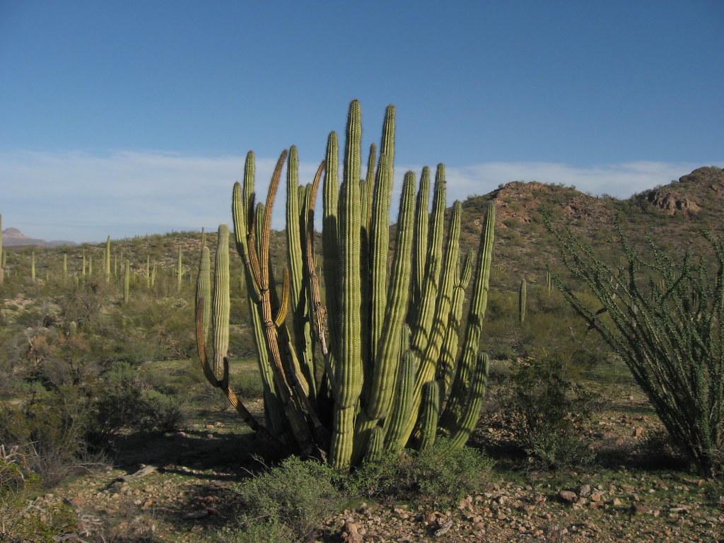 Baker Mine TrailHiking · ~16 min drivePhoto: Ken Lund, CC BY-SA 2.0 (via Flickr)
- Sp-M Cráter La EscoriaHiking · ~1h 7m drive
- Estes Canyon TrailHiking · Next doorPhoto: desertdutchman, CC BY 2.0 (via Flickr)
- Grass Canyon Access TrailHiking · ~11 min drive
- Sp-NHiking · ~1h 21m drive
- Arch Canyon TrailHiking · ~3 min drivePhoto: daveynin, CC BY 2.0 (via Flickr)
- Sp-L IiHiking · ~1h 21m drive
- Alamo Canyon TrailHiking · ~7 min drivePhoto: daveynin, CC BY 2.0 (via Flickr)
- Palo Verde TrailHiking · ~13 min drivePhoto: daveynin, CC BY 2.0 (via Flickr)


Map and trail data © OpenStreetMap contributors
