Desert View Trail
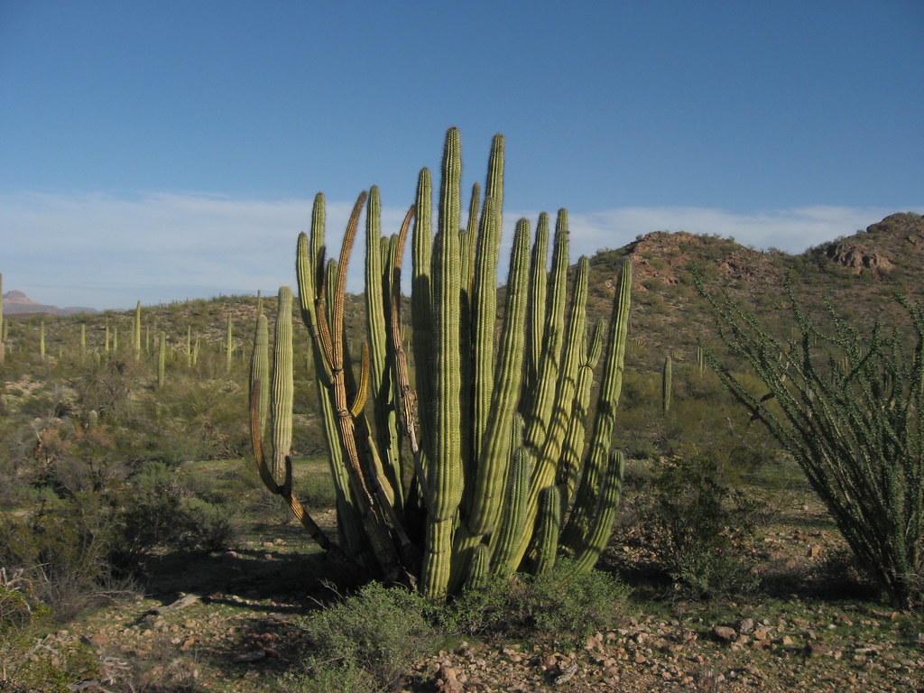
 Photo: daveynin, CC BY 2.0 (via Flickr)
- 1.1 mi
- loop
- 174 ft
- climb
- 1,865 ft
- high point
- Loop
- route
- Nov–Mar
- best months
Is Desert View Trail open right now?
Closure in the area
There's a closure order in Organ Pipe Cactus National Monument. It doesn't name Desert View Trail, so check the source for the area it covers.
Temporary Road Closures in Effect
Park closure covering Organ Pipe Cactus National Monument · NPS · Organ Pipe Cactus National Monument
Pozo Nuevo Road to Bates Well Ranch High Clearance, 4-Wheel Drive Only
Park alert covering Organ Pipe Cactus National Monument · NPS · Organ Pipe Cactus National Monument
Feral Dogs May Be Seen in Organ Pipe Cactus National Monument
Park alert covering Organ Pipe Cactus National Monument · NPS · Organ Pipe Cactus National Monument
As of · Source: NPS · Organ Pipe Cactus National Monument. Agencies don't list every closure — check before you go.
Desert View Trail is a short, easy loop in Organ Pipe Cactus National Monument in Arizona, managed by the National Park Service. The trail is about a mile long, with a total elevation gain of 174 feet, and it makes a quick addition to a visit to the monument. The most comfortable months for a walk are winter and early spring. Typical averages from a nearby weather station show January highs around 71°F and lows near 41°F, while June and July average highs in the low 100s. The station sits a few hundred feet lower than the trail's high point, so temperatures on the trail run slightly cooler. The trail is not wheelchair accessible, and a fee is charged. The estimated time for the loop is about half an hour. Several other trails start close by. Campground Perimeter Trail is about 0.2 miles away and Victoria Mine Trail about 0.3 miles. Palo Verde Trail is roughly a mile off, and Martinez-Victoria Mine Trail is about 1.6 miles away.
- Campground Perimeter TrailHikingPhoto: daveynin, CC BY 2.0 (via Flickr)0.2 mi
 Victoria Mine TrailHikingPhoto: daveynin, CC BY 2.0 (via Flickr)0.3 mi
- Palo Verde TrailHikingPhoto: daveynin, CC BY 2.0 (via Flickr)1 mi
- Martinez-Victoria Mine TrailHiking1.6 mi
- Lost Cabin Mine TrailHiking1.7 mi
- Sentia Basin Loop TrailHiking2.8 mi
 Baker Mine TrailHikingPhoto: Ken Lund, CC BY-SA 2.0 (via Flickr)3 mi
- Senita Basin-Red TanksHikingPhoto: Ken Lund, CC BY-SA 2.0 (via Flickr)3 mi
Source: Roamze catalog (indexable pages within 10 miles, PostGIS distance)
- Campground Perimeter TrailHiking · Next doorPhoto: daveynin, CC BY 2.0 (via Flickr)
- Baker Mine TrailHiking · ~5 min drivePhoto: Ken Lund, CC BY-SA 2.0 (via Flickr)
 Mount Ajo TrailHiking · ~14 min drivePhoto: RuggyBearLA, CC BY-SA 2.0 (via Flickr)
- Sp-M Cráter La EscoriaHiking · ~54 min drive
- Victoria Mine TrailHiking · Next doorPhoto: daveynin, CC BY 2.0 (via Flickr)
- Grass Canyon Access TrailHiking · ~21 min drive
- Sp-NHiking · ~1h 7m drive
- Palo Verde TrailHiking · ~2 min drivePhoto: daveynin, CC BY 2.0 (via Flickr)
- Sp-L IiHiking · ~1h 7m drive
- Senita Basin-Red TanksHiking · ~5 min drivePhoto: Ken Lund, CC BY-SA 2.0 (via Flickr)
Best time to visit Desert View Trail
Best months: November–March. Best months have typical highs of 55–85 °F, lows of 30 °F or warmer (32 °F where the station doesn't record snow), at most one snowy day and no more than 12 wet days.
Jan
71° / 41°
3 wet
Feb
73° / 43°
4 wet
Mar
79° / 47°
3 wet
Apr
86° / 52°
1 wet
May
93° / 59°
1 wet
Jun
102° / 68°
1 wet
Jul
104° / 76°
4 wet
Aug
103° / 75°
6 wet
Sep
99° / 70°
3 wet
Oct
90° / 59°
2 wet
Nov
79° / 48°
2 wet
Dec
70° / 41°
4 wet
Typical high / low (°F) and days with rain or snow, 1991–2020. Measured at Organ Pipe Cactus Nm, AZ, 1.1 mi away at 1,678 ft. Source: NOAA NCEI U.S. Climate Normals 1991–2020.


Map and trail data © OpenStreetMap contributors
