Dripping Springs Trail
At a glance
Dripping Springs Trail is a 0.54-mile lollipop trail in Arizona managed by the National Park Service. The trail descends 199 feet over its short length.
- distance
- 0.5 mi
- high point
- 1,982 ft
- route
- Lollipop
- difficulty
- Easy
- time
- About 15 minutes
- best months
- Mid-Nov–mid-Mar
Near: Ajo
Best weeks to go
Mid-November to mid-March is usually best for hiking here.
Typical highs of 69–79°F and lows of 40°F or warmer in those weeks.
Typical weather: NOAA 1991–2020 normals at Organ Pipe Cactus Nm, AZ, 7 mi away. Not a forecast.
Typical weather by monthBest time to visit Dripping Springs Trail
Best months: November–March. Best months are the ones mostly made of the best weeks for hiking: typical temperatures in its comfortable range, few snowy days and not usually wet, judged with the same limits as our good-day forecasts.
Jan
71°
41°
3 wet
Feb
73°
43°
4 wet
Mar
79°
47°
3 wet
Apr
86°
52°
1 wet
May
93°
59°
1 wet
Jun
102°
68°
1 wet
Jul
104°
76°
4 wet
Aug
103°
75°
6 wet
Sep
99°
70°
3 wet
Oct
90°
59°
2 wet
Nov
79°
48°
2 wet
Dec
70°
41°
4 wet
Typical high / low (°F) and days with rain or snow, 1991–2020. Measured at Organ Pipe Cactus Nm, AZ, 7.2 mi away at 1,678 ft. Source: NOAA NCEI U.S. Climate Normals 1991–2020.
Been here? Tell people how it was.
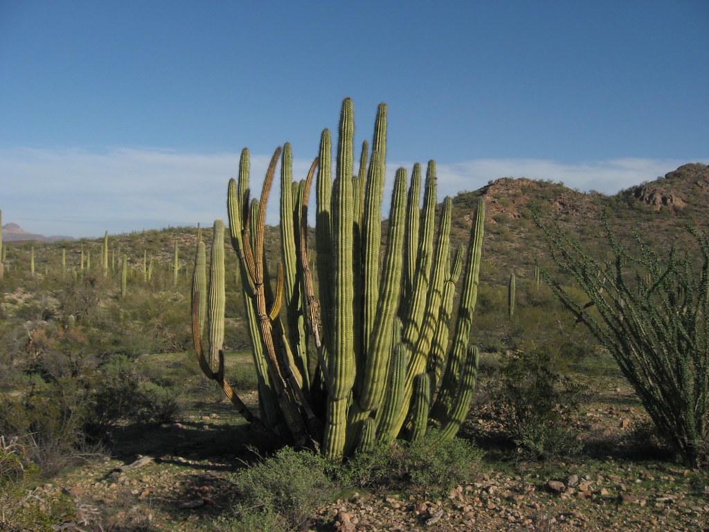 Senita Basin-Red TanksHikingPhoto: Ken Lund, CC BY-SA 2.0 (via Flickr)~7 min drive
- Baker Mine TrailHikingPhoto: Ken Lund, CC BY-SA 2.0 (via Flickr)~7 min drive
 Mount Ajo TrailHikingPhoto: RuggyBearLA, CC BY-SA 2.0 (via Flickr)~20 min drive
- Sp-M Cráter La EscoriaHiking~48 min drive
 Desert View TrailHikingPhoto: daveynin, CC BY 2.0 (via Flickr)~12 min drive
- Grass Canyon Access TrailHiking~19 min drive
- Sp-NHiking~1h 3m drive
- Palo Verde TrailHikingPhoto: daveynin, CC BY 2.0 (via Flickr)~12 min drive
- Sp-L IiHiking~1h 3m drive
- Campground Perimeter TrailHikingPhoto: daveynin, CC BY 2.0 (via Flickr)~13 min drive
Conditions and forecast
Daily highs and lows, wind and the chance of precipitation at Start for the next 7 days, from the Open-Meteo model.


Ask about this place
Questions about Dripping Springs Trail: conditions, access, timing. Answers say when something isn't known.
Map and trail data © OpenStreetMap contributors
