Doney Trail
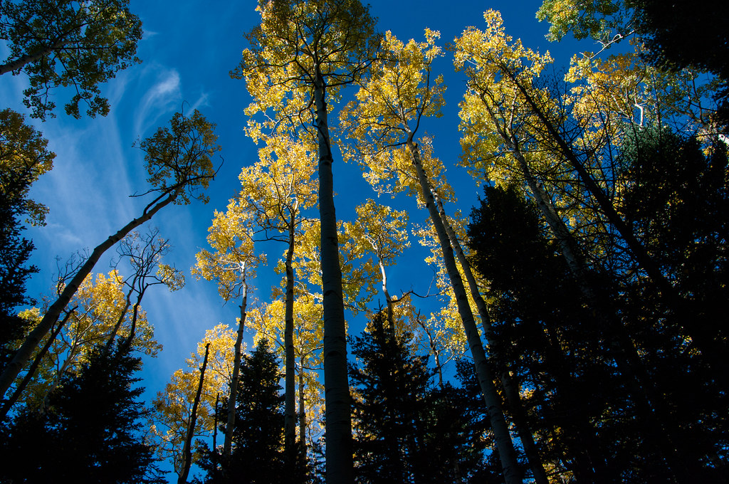
 Photo: RuggyBearLA, CC BY-SA 2.0 (via Flickr)
At a glance
Doney Trail is a short, easy loop in the Flagstaff Ranger District of Coconino National Forest in northern Arizona, about 0.35 miles long with a total climb of 220 feet. The Forest Service manages the land, and the trail sits on national forest ground rather than on a single unit of its own. The loop starts and ends at roughly the same point, with a low of about 5,327 feet and a high of 5,512 feet. It's a simple outing, not a steep or long one, and it makes an easy addition to a day spent exploring the surrounding forest. Spring and fall are the most comfortable times to go. Typical averages from a nearby weather station show April highs around 71°F and October highs around 73°F, while July averages climb to about 94°F and January lows drop to about 26°F. Wupatki Pueblo lies about 1.9 miles away, and the Strawberry hike is about 7 miles off.
- distance
- 0.4 mi
- climb
- 220 ft
- high point
- 5,512 ft
- route
- Lollipop
- time
- About 15 minutes
- best months
- Mid-Feb–mid-May, late Sep–late Nov
Where it is: Flagstaff Ranger District · Coconino National Forest
Near: Flagstaff
Best weeks to go
Mid-February to mid-May and late September to late November are usually best for hiking here.
Typical highs of 54–80°F and lows of 30°F or warmer in those weeks.
Typical weather: NOAA 1991–2020 normals at Wupatki Nm, AZ, 2 mi away. Not a forecast.
Typical weather by monthBest time to visit Doney Trail
Best months: February–May and October–November. Best months are the ones mostly made of the best weeks for hiking: typical temperatures in its comfortable range, few snowy days and not usually wet, judged with the same limits as our good-day forecasts.
Jan
48°
26°
4 wet · 1 snow
Feb
55°
30°
4 wet · 1 snow
Mar
63°
36°
4 wet
Apr
71°
43°
3 wet
May
80°
52°
3 wet
Jun
91°
62°
2 wet
Jul
94°
67°
7 wet
Aug
91°
65°
9 wet
Sep
85°
58°
6 wet
Oct
73°
46°
4 wet
Nov
58°
34°
3 wet
Dec
46°
25°
4 wet · 1 snow
Typical high / low (°F) and days with rain or snow, 1991–2020. Measured at Wupatki Nm, AZ, 1.9 mi away at 4,908 ft. The station sits about 600 ft lower than this place, so expect it a little cooler here. Source: NOAA NCEI U.S. Climate Normals 1991–2020.
Been here? Tell people how it was.
 Wupatki PuebloHikingPhoto: jasonwoodhead23, CC BY 2.0 (via Flickr)~3 min drive
 Lava's Edge TrailHikingPhoto: Šarūnas Burdulis from USA, CC BY-SA 2.0 (via Wikimedia Commons)~23 min drive
 Old CavesHikingPhoto: deborah.soltesz, Public Domain Dedication (CC0) (via Flickr)~33 min drive
- Humphreys Summit Trail #151Hiking~35 min drive
 Lava Flow TrailHikingPhoto: daveynin, CC BY 2.0 (via Flickr)~23 min drive
 Eagle's WalkHikingPhoto: Nate Loper • #ArizonaGuide ️, CC BY 2.0 (via Flickr)~23 min drive
 Deer HillHikingPhoto: Coconino NF Photography, CC BY-SA 2.0 (via Flickr)~34 min drive
- Lenox Crater TrailHikingPhoto: Šarūnas Burdulis from USA, CC BY-SA 2.0 (via Wikimedia Commons)~23 min drive
 Bear JawHikingPhoto: Coconino NF Photography, Public Domain Dedication (CC0) (via Flickr)~31 min drive
 WaterlineHikingPhoto: Coconino NF Photography, Public Domain Mark (via Flickr)~34 min drive
Conditions and forecast
Daily highs and lows, wind and the chance of precipitation at Start for the next 7 days, from the Open-Meteo model.


Ask about this place
Questions about Doney Trail: conditions, access, timing. Answers say when something isn't known.
Local outfitters
- Four Season Guides28 mi away
- Village Camp31 mi away
Not on Roamze yet. Their page has how to reach them.
Map and trail data © OpenStreetMap contributors
