
Camp Shalom
Campground
6.4 mi from the trail
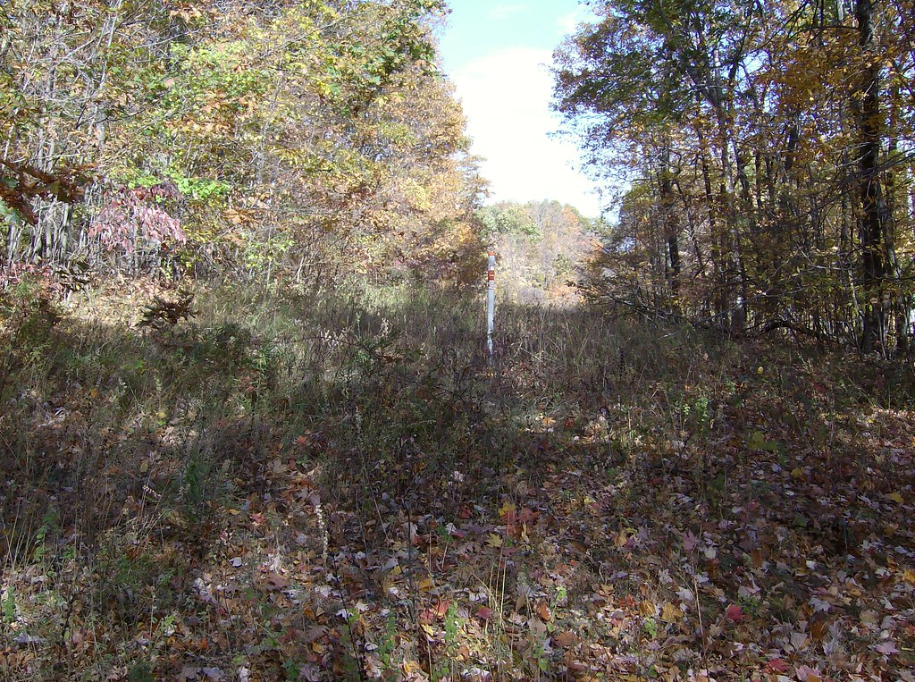 Photo: David_Morris, CC BY 2.0 (via Flickr)
White Trail is a 0.4-mile loop hike in Connecticut, about a mile from the town of Case Corner. The trail rises from a low point of 450 feet to a high of 555 feet, with a total climb of 84 feet and a total descent of 72 feet. The steepest stretch comes early on, at about 0.11 miles in, with an 8% grade. Late spring and early fall are the most comfortable times to go. Typical averages from a nearby weather station in Burlington show May highs around 70°F and September highs around 75°F, while July averages about 84°F and January highs sit near 36°F. Several other trails lie close by. Talcott Mt Bypass Trail is 0.8 miles away, Auer Farm Connector Trail is 1.1 miles away, and Green Trail is 1.4 miles away. Climbers can find Firetown Road about 8 miles off.
Near: Hartford
Best months: April–October. Best months have typical highs of 55–85 °F, lows of 30 °F or warmer (32 °F where the station doesn't record snow), at most one snowy day and no more than 12 wet days.
Jan
36°
17°
10 wet · 4 snow
Feb
39°
18°
9 wet · 3 snow
Mar
47°
26°
10 wet · 2 snow
Apr
59°
36°
11 wet
May
70°
47°
12 wet
Jun
78°
57°
11 wet
Jul
84°
62°
11 wet
Aug
82°
60°
10 wet
Sep
75°
53°
9 wet
Oct
63°
41°
10 wet
Nov
52°
32°
9 wet
Dec
41°
24°
11 wet · 2 snow
Typical high / low (°F) and days with rain or snow, 1991–2020. Measured at Burlington, CT, 8 mi away at 505 ft. Source: NOAA NCEI U.S. Climate Normals 1991–2020.
Been here? Tell people how it was.
 Talcott Mt Bypass TrailHikingPhoto: David_Morris, CC BY 2.0 (via Flickr)0.8 miAuer Farm Connector TrailHikingPhoto: David_Morris, CC BY 2.0 (via Flickr)1.1 mi
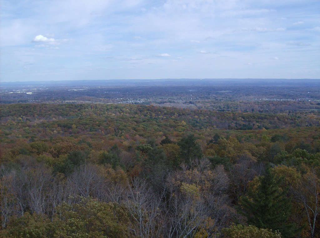 Green TrailHikingPhoto: David_Morris, CC BY 2.0 (via Flickr)1.4 mi
 East Branch Farmington RiverCanoeingPhoto: John Phelan, CC BY 4.0 (via Wikimedia Commons)9.8 miTalcott Mt Bypass TrailHikingPhoto: David_Morris, CC BY 2.0 (via Flickr)~1 min driveAuer Farm Connector TrailHikingPhoto: David_Morris, CC BY 2.0 (via Flickr)~2 min driveGreen TrailHikingPhoto: David_Morris, CC BY 2.0 (via Flickr)~2 min drive
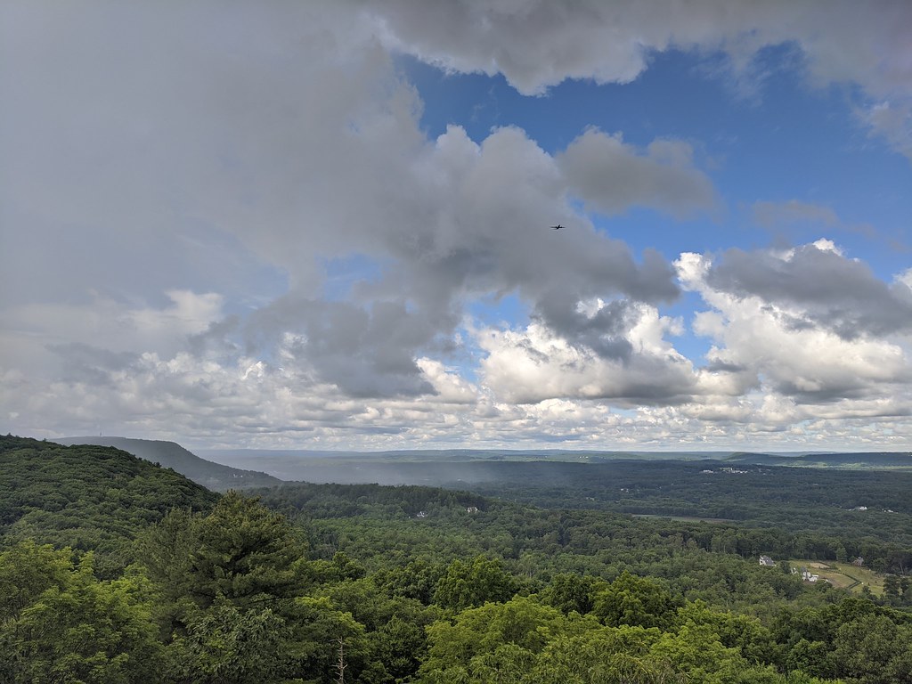 Aloha TrailHikingPhoto: dddaag, CC BY 2.0 (via Flickr)~6 min drive
 Kenney RidgeHikingPhoto: christinejwarner, CC BY 2.0 (via Flickr)~9 min drive
 Metacomet Trail (NET)HikingPhoto: Ragesoss, CC BY-SA 3.0 (via Wikimedia Commons)~9 min drive
Daily highs and lows, wind and the chance of precipitation at Start for the next 7 days, from the Open-Meteo model.
Questions about White Trail: conditions, access, timing. Answers say when something isn't known.
Camp Shalom
Campground
 If it rainsDaderot, Public domain · Wikimedia Commons
A. Everett Austin House
Museum
Places © OpenStreetMap contributors · Photos: Daderot, Public domain (commons)
More in MiddletownMap and trail data © OpenStreetMap contributors
