Red Trail
At a glance
Red Trail is a short, easy hike in New York, about 0.8 miles long and roughly a half-hour's walk. It is a point-to-point route with a low of 12 feet and a high of 44 feet, so it's a flat, low-lying path with only about 22 feet of elevation gain. The nearest town is Oakville, about a mile away. Summer is the warmest time to visit. Typical averages from a nearby weather station show July highs around 81°F and lows near 62°F, while September cools to about 74°F by day and 54°F at night. Bikes are not allowed on this trail. The Blue Trail and Green Trail are both about 0.7 miles away, and the Yellow Trail is about 0.8 miles off. Farther out, the Eastport Mountainbike Trail is about 6 miles away.
- one way
- 0.8 mi
- climb
- 22 ft
- high point
- 44 ft
- route
- Point to point
- time
- About 15 minutes
- best months
- Apr, Jun–Oct
Near: Quogue
Best time to visit Red Trail
Best months: April and June–October. Best months have typical highs of 55–85 °F, lows of 30 °F or warmer (32 °F where the station doesn't record snow), at most one snowy day and no more than 12 wet days.
Jan
39°
20°
11 wet
Feb
40°
21°
10 wet
Mar
47°
28°
11 wet
Apr
57°
36°
12 wet
May
66°
46°
13 wet
Jun
75°
56°
11 wet
Jul
81°
62°
10 wet
Aug
80°
61°
10 wet
Sep
74°
54°
10 wet
Oct
63°
43°
11 wet
Nov
53°
34°
11 wet
Dec
44°
26°
11 wet
Typical high / low (°F) and days with rain or snow, 1991–2020. Measured at Westhamptn Gabreski Ap, NY, 0.7 mi away at 67 ft. This station doesn't record snowfall. Source: NOAA NCEI U.S. Climate Normals 1991–2020.
Been here? Tell people how it was.
 Black Tupelo TrailHikingPhoto: RSLab, CC BY 2.0 (via Flickr)~24 min drive
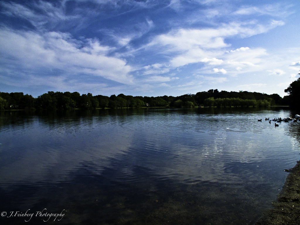 Raymond P. Corwin TrailHikingPhoto: J.Feinberg Photography, CC BY 2.0 (via Flickr)~27 min drive
- Mannorville Hills Mountain Bike TrailHiking~11 min drive
- White Oak TrailHikingPhoto: RSLab, CC BY 2.0 (via Flickr)~25 min drive
- Eastport Mountainbike TrailHiking~10 min drive
- Black Tupelo TrailHikingPhoto: RSLab, CC BY 2.0 (via Flickr)~25 min drive
- Toppings PathHiking~13 min drive
 beach walkHikingPhoto: Bobby17543, CC BY-SA 3.0 (via Wikimedia Commons)~28 min drive
- Calverton Mountain Bike TrailHiking~20 min drive
- Prosser Pines Hiking TrailsHikingPhoto: J.Feinberg Photography, CC BY 2.0 (via Flickr)~28 min drive
Conditions and forecast
Daily highs and lows, wind and the chance of precipitation at Start for the next 7 days, from the Open-Meteo model.
Ask about this place
Questions about Red Trail: conditions, access, timing. Answers say when something isn't known.
Map and trail data © OpenStreetMap contributors
