Raymond P. Corwin Trail
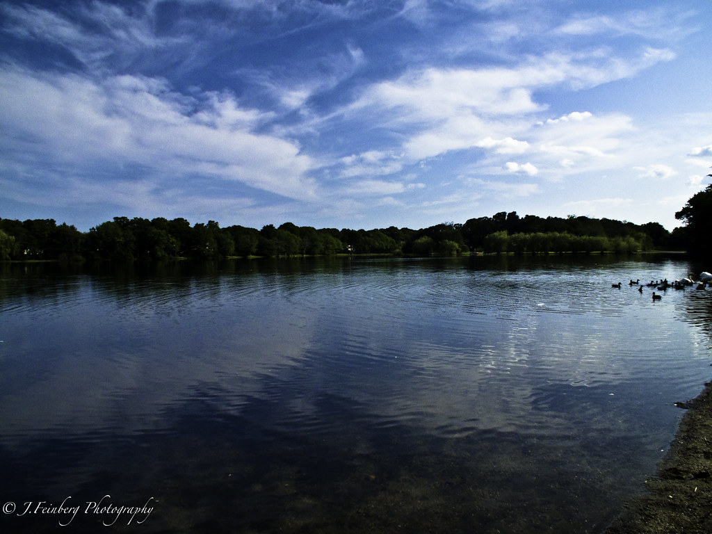 Photo: J.Feinberg Photography, CC BY 2.0 (via Flickr)
- 4.9 mi
- round trip
- 441 ft
- climb
- 131 ft
- high point
- Out and back
- route
- Apr–Oct
- best months
The Raymond P. Corwin Trail is a 4.9-mile hike in New York, about 0.8 miles from the town of Ridge. It is an out-and-back route that totals about 9.8 miles round trip, with a one-way climb of about 126 feet. The trail is rated moderate, and the steepest stretch comes at about 3.9 miles in, where the grade reaches about 5%. Late spring and early fall are the most comfortable times to go. Typical averages from a nearby weather station show May highs around 68°F and September highs around 74°F, while July peaks near 82°F and January highs sit around 38°F. Several other trails lie close by. The Blue Trail and Red Trail in Ridge New York State Conservation Area are each about 1.1 miles away, and the Prosser Pines Hiking Trails are about 1.7 miles off. Climbers can find Southern Boulder about 5.3 miles away.
Best time to go · Apr–Oct
Best time to visit Raymond P. Corwin Trail
Best months: April–October. Best months have typical highs of 55–85 °F, lows of 30 °F or warmer (32 °F where the station doesn't record snow), at most one snowy day and no more than 12 wet days.
Jan
38° / 21°
Feb
40° / 22°
Mar
47° / 29°
Apr
57° / 38°
May
68° / 48°
Jun
76° / 58°
Jul
82° / 64°
Aug
81° / 63°
Sep
74° / 56°
Oct
63° / 44°
Nov
53° / 34°
Dec
44° / 27°
Typical high / low (°F) and days with rain or snow, 1991–2020. Measured at Upton Coop - Nwsfo New York, NY, 2.9 mi away at 80 ft. This station doesn't record snowfall. Source: NOAA NCEI U.S. Climate Normals 1991–2020.
Keep exploring — more trails worth the drive
Photo: J.Feinberg Photography, CC BY 2.0 (via Flickr)Prosser Pines Hiking Trails
~3 min drive
0.72-mile out-and-back trail in New York with 55 ft of elevation gain.
HIKE
Rocky Point Red Trail
~3 min drive
9.68-mile out-and-back trail in New York with 548 ft elevation gain.
HIKE
Rocky Point Mountain Bike Trail
~4 min drive
34.9-mile out-and-back mountain bike trail in New York with 850 ft elevation gain.
 Photo: Dougtone, CC BY-SA 2.0 (via Flickr)
Cathedral Pines Mountain Bike Trail
~3 min drive
4.73-mile loop mountain bike trail in New York with 270 ft elevation gain
HIKE
Overton Moutain Bike Trail
~8 min drive
6.6-mile out-and-back mountain bike trail in New York with 458 ft elevation gain
HIKE
Mannorville Hills Mountain Bike Trail
~15 min drive
19.36-mile out-and-back mountain bike trail in New York with 1,235 ft elevation gain/loss.
Photo: Dougtone, CC BY-SA 2.0 (via Flickr)Deer Path
~3 min drive
0.39-mile loop trail in New York with 25 ft gain and 40 ft loss.
HIKE
Calverton Mountain Bike Trail
~9 min drive
7.95-mile mountain bike loop in New York with 276 ft elevation gain
 Photo: Bobby17543, CC BY-SA 3.0 (via Wikimedia Commons)
Rocky Point Yellow Trail
~7 min drive
2.4-mile out-and-back hike in New York with 263 ft elevation gain.
HIKE
Toppings Path
~15 min drive
8.92-mile out-and-back trail in New York with 527 ft elevation gain
Map and trail data © OpenStreetMap contributors
