Nashua Acton & Boston Railroad Trail
At a glance
The Nashua Acton & Boston Railroad Trail is a short, easy hike in Massachusetts, about half a mile from North Acton. The route is 1.7 miles long and rises only about 18 feet, so it's a gentle walk with no real climb. The trail works for a quick outing on foot, and it also suits riders. Bikes and horses are both allowed, which makes it a flexible option for anyone who wants to bring a horse or a bicycle along. Late spring and early fall are the most comfortable times to go. Typical averages from a nearby weather station in Maynard show May highs around 73°F and September highs around 78°F, with July peaking near 87°F. Several other outings sit close by. The Yellow hike is under a mile away, Marion's Trail is about 1.2 miles off, and the Kennedy Pond Loop is roughly 1.6 miles away. Paddlers can head to Fort Pond Brook, about 3.9 miles from the trail.
- one way
- 1.7 mi
- climb
- 11 ft
- high point
- 187 ft
- route
- Point to point
- time
- About 45 minutes
- best months
- Early Apr–early Jun, early Sep–mid-Nov
Near: Lowell
Best weeks to go
Early April to early June and early September to mid-November are usually best for hiking here.
Typical highs of 56–79°F and lows of 30°F or warmer in those weeks. Rain falls on about 40% of days at the wettest of them, so plan around showers.
Typical weather: NOAA 1991–2020 normals at Maynard 2, MA, 6 mi away. Not a forecast.
Typical weather by monthBest time to visit Nashua Acton & Boston Railroad Trail
Best months: April–May and September–October. Best months are the ones mostly made of the best weeks for hiking: typical temperatures in its comfortable range, few snowy days and not usually wet, judged with the same limits as our good-day forecasts.
Jan
37°
15°
11 wet
Feb
41°
16°
9 wet
Mar
48°
24°
12 wet
Apr
62°
34°
12 wet
May
73°
45°
12 wet
Jun
81°
55°
11 wet
Jul
87°
60°
10 wet
Aug
85°
58°
10 wet
Sep
78°
49°
9 wet
Oct
66°
38°
11 wet
Nov
54°
29°
10 wet
Dec
43°
21°
11 wet
Typical high / low (°F) and days with rain or snow, 1991–2020. Measured at Maynard 2, MA, 6.4 mi away at 205 ft. This station doesn't record snowfall. Source: NOAA NCEI U.S. Climate Normals 1991–2020.
Been here? Tell people how it was.
- YellowHiking0.9 mi
- Marion's TrailMountain biking1.2 mi
 Kennedy Pond LoopHikingPhoto: inkknife_2000 (7.5 million views +), CC BY-SA 2.0 (via Wikimedia Commons)1.6 mi
- Fort Pond BrookCanoeing3.9 mi
- Chelmsford Lime QuarryRock climbing5.4 mi
- Area 69, Bedford, MARock climbing6.4 mi
- Spacious Skies Campgrounds - Minute ManCamping6.8 mi
- Assabet RiverRiver fishing8.5 mi
 Marion's TrailHikingPhoto: kristin from Somerville, MA, CC BY-SA 2.0 (via Wikimedia Commons)~3 min drive
- Kennedy Pond LoopHikingPhoto: inkknife_2000 (7.5 million views +), CC BY-SA 2.0 (via Wikimedia Commons)~3 min drive
- Blue Dot TrailHikingPhoto: inkknife_2000 (7.5 million views +), CC BY-SA 2.0 (via Wikimedia Commons)~4 min drive
 Yellow Wildflower TrailHikingPhoto: jim_snydergrant, CC BY 2.0 (via Flickr)~5 min drive
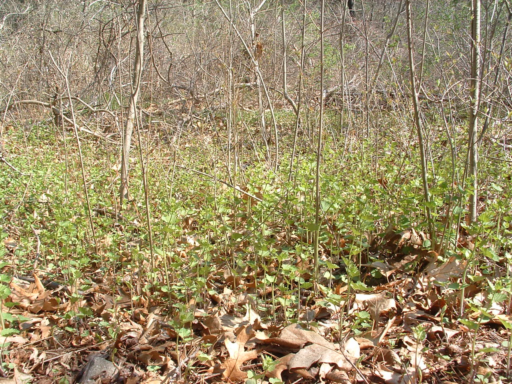 YellowHikingPhoto: jim_snydergrant, CC BY 2.0 (via Flickr)~5 min drive
- Red Billings TrailHikingPhoto: jim_snydergrant, CC BY 2.0 (via Flickr)~5 min drive
 Barretts Mill LoopHikingPhoto: Massachusetts Dept. of Environmental Protection, CC BY 2.0 (via Flickr)~6 min drive
- Woodhaven TrailsHikingPhoto: kristin from Somerville, MA, CC BY-SA 2.0 (via Wikimedia Commons)~6 min drive
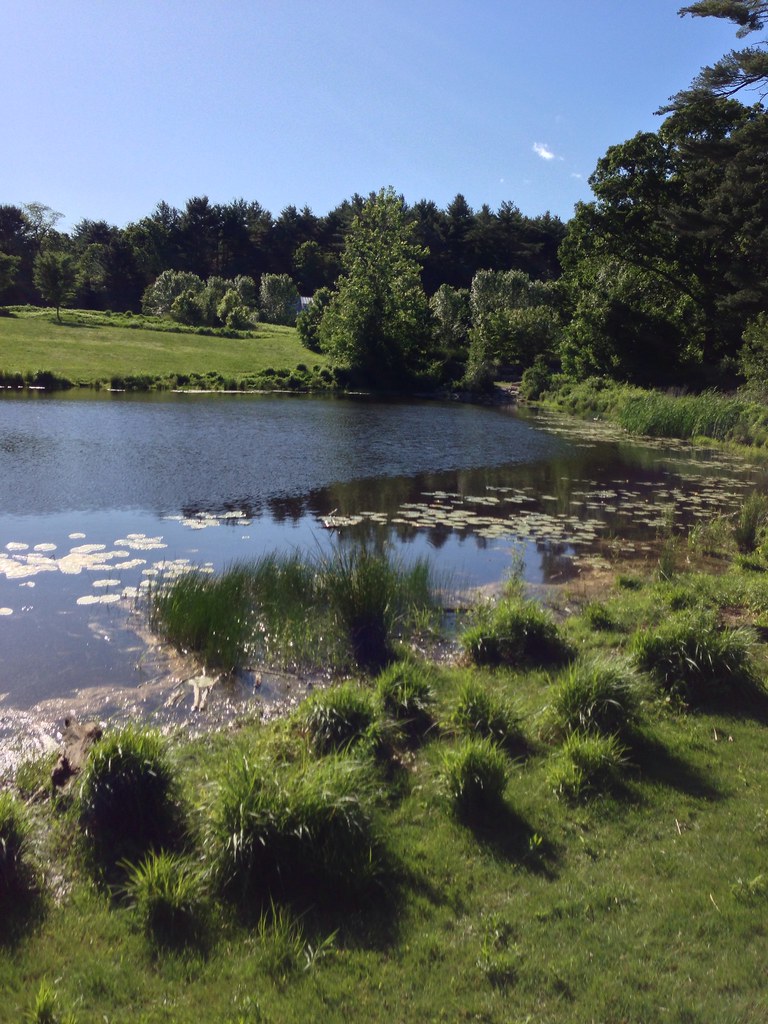 Acorn TrailHikingPhoto: eedrummer, CC BY-SA 2.0 (via Flickr)~7 min drive
 Egg Rock TrailHikingPhoto: Paul Knight, CC BY-SA 3.0 (via Wikimedia Commons)~7 min drive
Conditions and forecast
Daily highs and lows, wind and the chance of precipitation at Start for the next 7 days, from the Open-Meteo model.

Ask about this place
Questions about Nashua Acton & Boston Railroad Trail: conditions, access, timing. Answers say when something isn't known.
Map and trail data © OpenStreetMap contributors
