Canoe & Kayak launch
- Apr–Jun, Aug–Oct
- best months
Ice House Pond's canoe and kayak launch is a paddling access point in Massachusetts, about 2 miles from West Concord. It serves as a put-in for canoes and kayaks on the pond. For comfortable weather, aim for late spring through early fall. Typical averages from a nearby weather station in Maynard show May highs around 73°F and September highs around 78°F, with July the warmest month at about 87°F. Several other outdoor spots sit close by. The Red Billings Trail and the Yellow hike are each about a mile away, and the Acton Minutemen Line of March, April 19 1775 mountain biking route is about a mile off. Fort Pond Brook, another paddling option, is roughly 2 miles away.
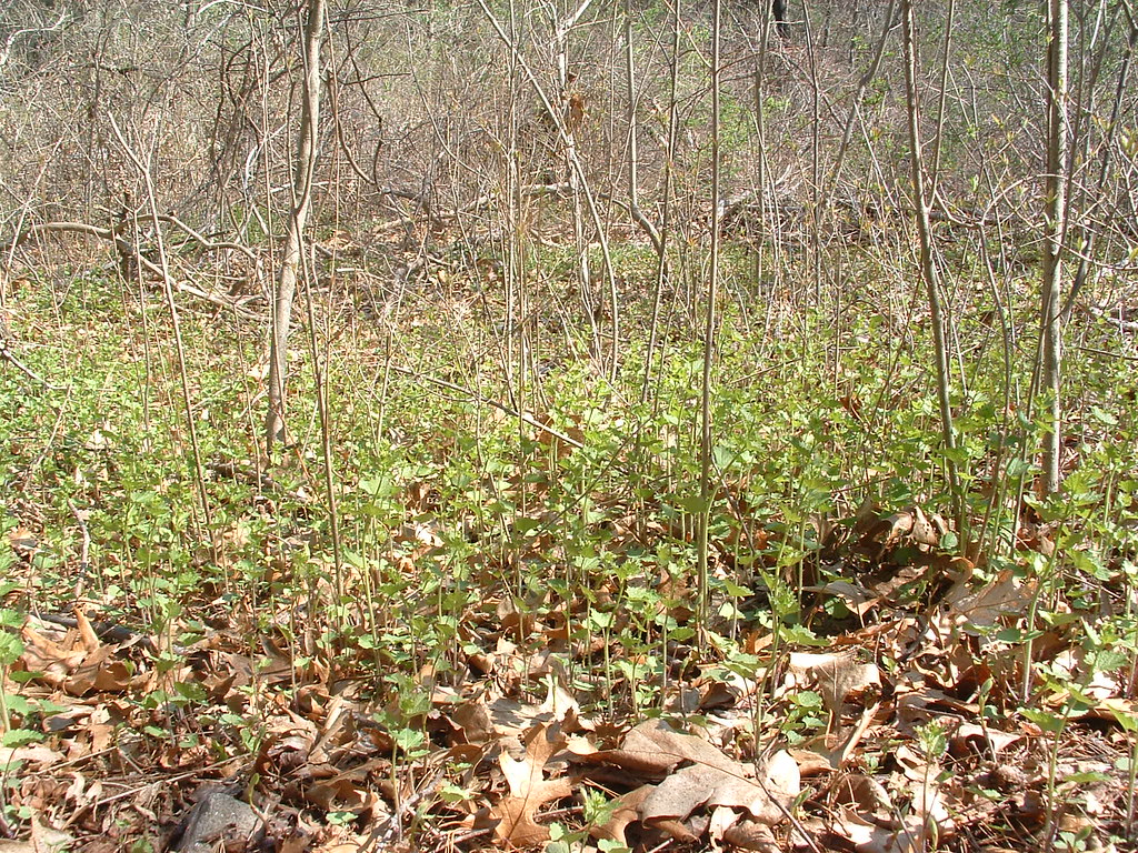 Red Billings TrailHikingPhoto: jim_snydergrant, CC BY 2.0 (via Flickr)0.9 mi
- YellowHikingPhoto: jim_snydergrant, CC BY 2.0 (via Flickr)0.9 mi
- Acton Minutemen Line of March, April 19 1775Mountain biking1 mi
- Fort Pond BrookCanoeing1.9 mi
- Area 69, Bedford, MARock climbing5.7 mi
- Assabet RiverRiver fishing6.1 mi
- Spacious Skies Campgrounds - Minute ManCamping7.9 mi
- Chelmsford Lime QuarryRock climbing8.2 mi
Source: Roamze catalog (indexable pages within 10 miles, PostGIS distance)
 Shawsheen RiverCanoeing · ~18 min drivePhoto: John Phelan, CC BY 3.0 (via Wikimedia Commons)
- Old Calf Pasture Boat LaunchBoat launch · ~5 min drive
 Assabet RiverCanoeing · ~26 min drivePhoto: John Phelan, CC BY-SA 3.0 (via Wikimedia Commons)
- White Pond Boat RampBoat launch · ~6 min drive
 Sudbury RiverCanoeing · ~27 min drivePhoto: John Phelan, CC BY 3.0 (via Wikimedia Commons)
- White Pond Road Boat RampBoat launch · ~8 min drive
 Squannacook RiverCanoeing · ~35 min drivePhoto: Marcbela (Marc N. Belanger), CC0 (via Wikimedia Commons)
- Cartopper Only LaunchBoat launch · ~8 min drive
 Quinapoxet RiverCanoeing · ~40 min drivePhoto: en:User:LymanSchool (Richard B. Johnson), CC BY-SA 3.0 (via Wikimedia Commons)
- Small Roof Top Boat LaunchBoat launch · ~9 min drive
Also worth it near here
Best time to visit Canoe & Kayak launch
Best months: April–June and August–October. Best months have typical highs of 55–85 °F, lows of 30 °F or warmer (32 °F where the station doesn't record snow), at most one snowy day and no more than 12 wet days.
Jan
37° / 15°
11 wet
Feb
41° / 16°
9 wet
Mar
48° / 24°
12 wet
Apr
62° / 34°
12 wet
May
73° / 45°
12 wet
Jun
81° / 55°
11 wet
Jul
87° / 60°
10 wet
Aug
85° / 58°
10 wet
Sep
78° / 49°
9 wet
Oct
66° / 38°
11 wet
Nov
54° / 29°
10 wet
Dec
43° / 21°
11 wet
Typical high / low (°F) and days with rain or snow, 1991–2020. Measured at Maynard 2, MA, 3.7 mi away at 205 ft. This station doesn't record snowfall. Source: NOAA NCEI U.S. Climate Normals 1991–2020.

Map and trail data © OpenStreetMap contributors
