Red Billings Trail
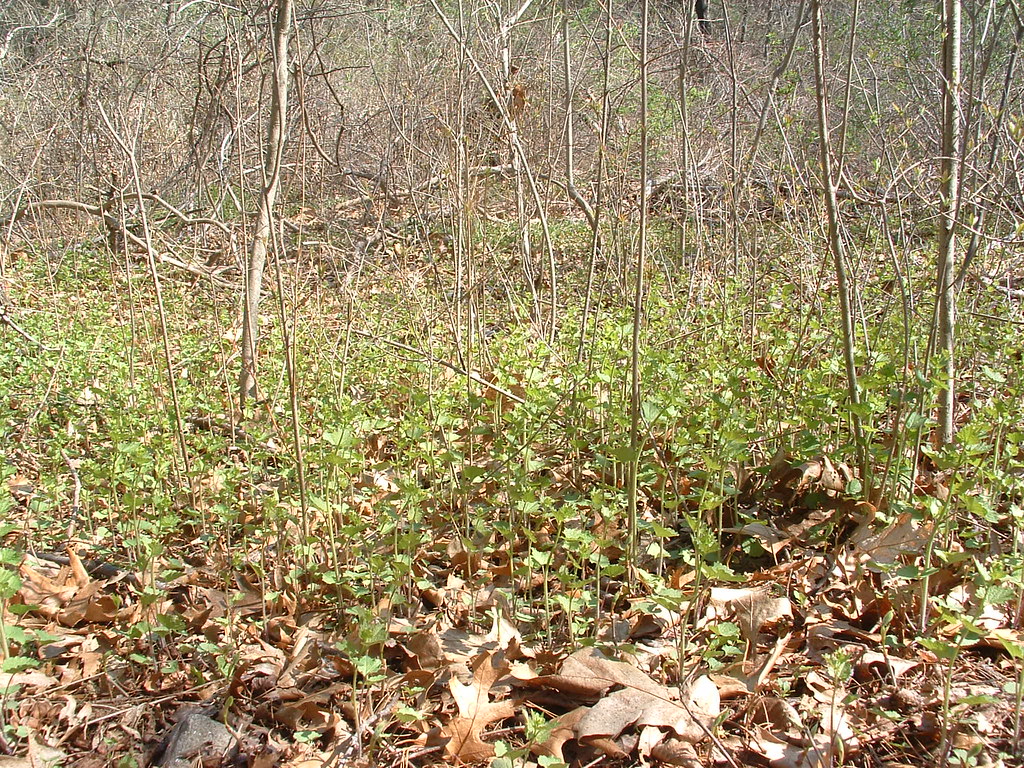 Photo: jim_snydergrant, CC BY 2.0 (via Flickr)
- 0.3 mi
- round trip
- 91 ft
- climb
- 242 ft
- high point
- Out and back
- route
- Apr–Jun, Aug–Oct
- best months
Red Billings Trail is a short, easy out-and-back hike in the Acton Arboretum in Massachusetts, about 0.3 miles long and with a total elevation gain of 91 feet. The route is flat for most of the way, with the steepest stretch at about 0.2 miles in, where the grade reaches 6 percent. The high point is 242 feet, and the low point is 184 feet. Late spring and early fall are the most comfortable times to go. Typical averages from a nearby weather station in Maynard show May highs around 73°F and September highs around 78°F, with July the warmest month at about 87°F. The trail makes an easy pairing with other short walks in the area. Yellow is about 0.1 mile away, and the Yellow Wildflower Trail is about 0.2 mile away. The Acton Minutemen Line of March, April 19 1775 mountain biking route is about 0.8 mile away, and Fort Pond Brook, a canoeing spot, is about 1.1 mile away.
- YellowHikingPhoto: jim_snydergrant, CC BY 2.0 (via Flickr)0.1 mi
 Yellow Wildflower TrailHikingPhoto: jim_snydergrant, CC BY 2.0 (via Flickr)0.2 mi
- Acton Minutemen Line of March, April 19 1775Mountain biking0.8 mi
- Fort Pond BrookCanoeing1.1 mi
- Assabet RiverRiver fishing5.6 mi
- Area 69, Bedford, MARock climbing6.6 mi
- Spacious Skies Campgrounds - Minute ManCamping7.2 mi
- Harrrvard YarrrdRock climbing8.1 mi
Source: Roamze catalog (indexable pages within 10 miles, PostGIS distance)
- Yellow Wildflower TrailHiking · Next doorPhoto: jim_snydergrant, CC BY 2.0 (via Flickr)
 BlueHiking · ~4 min drivePhoto: Muffet, CC BY 2.0 (via Flickr)
 Barretts Mill LoopHiking · ~5 min drivePhoto: Massachusetts Dept. of Environmental Protection, CC BY 2.0 (via Flickr)
 Hilltop Loop TrailHiking · ~5 min drivePhoto: Massachusetts Dept. of Environmental Protection, CC BY 2.0 (via Flickr)
 Marion's TrailHiking · ~5 min drivePhoto: kristin from Somerville, MA, CC BY-SA 2.0 (via Wikimedia Commons)
 Blue Dot TrailHiking · ~5 min drivePhoto: inkknife_2000 (7.5 million views +), CC BY-SA 2.0 (via Wikimedia Commons)
 Egg Rock TrailHiking · ~6 min drivePhoto: Paul Knight, CC BY-SA 3.0 (via Wikimedia Commons)
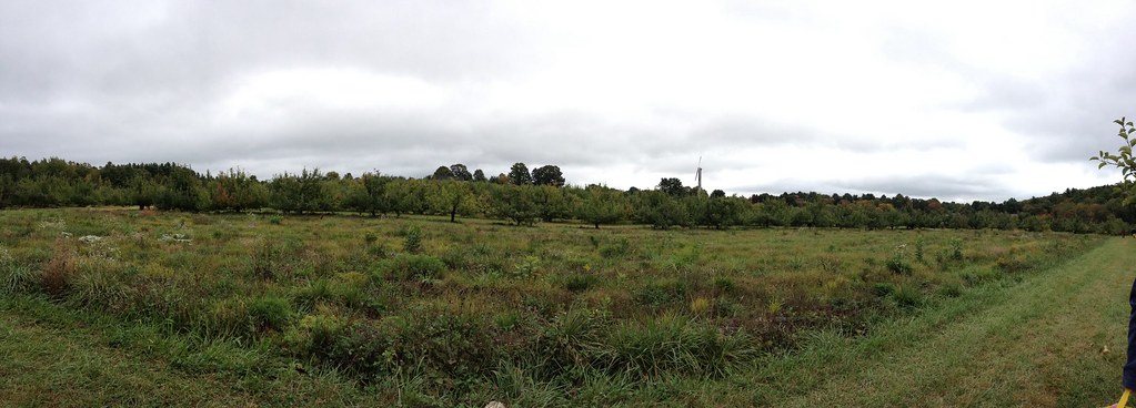 RedHiking · ~6 min drivePhoto: Lizard10979, CC BY 2.0 (via Flickr)
- WhiteHiking · ~7 min drivePhoto: Lizard10979, CC BY 2.0 (via Flickr)
- South Loop (Lavender)Hiking · ~7 min drivePhoto: Lizard10979, CC BY 2.0 (via Flickr)
Best time to visit Red Billings Trail
Best months: April–June and August–October. Best months have typical highs of 55–85 °F, lows of 30 °F or warmer (32 °F where the station doesn't record snow), at most one snowy day and no more than 12 wet days.
Jan
37° / 15°
11 wet
Feb
41° / 16°
9 wet
Mar
48° / 24°
12 wet
Apr
62° / 34°
12 wet
May
73° / 45°
12 wet
Jun
81° / 55°
11 wet
Jul
87° / 60°
10 wet
Aug
85° / 58°
10 wet
Sep
78° / 49°
9 wet
Oct
66° / 38°
11 wet
Nov
54° / 29°
10 wet
Dec
43° / 21°
11 wet
Typical high / low (°F) and days with rain or snow, 1991–2020. Measured at Maynard 2, MA, 3.5 mi away at 205 ft. This station doesn't record snowfall. Source: NOAA NCEI U.S. Climate Normals 1991–2020.
Map and trail data © OpenStreetMap contributors
