Egg Rock Trail
 Photo: Paul Knight, CC BY-SA 3.0 (via Wikimedia Commons)
- 0.9 mi
- one way
- 51 ft
- climb
- 170 ft
- high point
- Point to point
- route
- Apr, Aug–Oct
- best months
Egg Rock Trail is a short, easy hike in Massachusetts, about 0.85 miles long and rising about 51 feet from a low point of 114 feet to a high of 170 feet. It is a point-to-point route, and the steepest stretch comes at about 0.79 miles, with a grade of 11 percent. The nearest town is Plain, about a mile away. Late spring and early fall are the most comfortable times to go. Typical averages from a nearby weather station in Bedford run to highs around 70°F in May and 76°F in September, while July highs average about 85°F. Barretts Mill Loop is about half a mile away, and Old Manse Trail, a mountain biking route, is about a mile off. Estabrook Concord-Carlisle is roughly 1.6 miles away, and Area 69, Bedford, MA, a climbing area, is about 3.4 miles away.
Best time to go · Apr, Aug–Oct
Best time to visit Egg Rock Trail
Best months: April and August–October. Best months have typical highs of 55–85 °F, lows of 30 °F or warmer (32 °F where the station doesn't record snow), at most one snowy day and no more than 12 wet days.
Jan
37° / 18°
11 wet
Feb
39° / 19°
9 wet
Mar
47° / 27°
11 wet
Apr
60° / 37°
12 wet
May
70° / 47°
13 wet
Jun
79° / 56°
13 wet
Jul
85° / 62°
13 wet
Aug
84° / 60°
12 wet
Sep
76° / 52°
12 wet
Oct
64° / 41°
12 wet
Nov
52° / 32°
11 wet
Dec
42° / 24°
11 wet
Typical high / low (°F) and days with rain or snow, 1991–2020. Measured at Bedford Hanscom Fld, MA, 4.1 mi away at 133 ft. This station doesn't record snowfall. Source: NOAA NCEI U.S. Climate Normals 1991–2020.
Keep exploring — more trails worth the drive
 Photo: Massachusetts Dept. of Environmental Protection, CC BY 2.0 (via Flickr)
Barretts Mill Loop
Next door
Short point-to-point trail near a historic mill site in Massachusetts.
 Photo: Seth Tisue, CC BY-SA 2.0 (via Flickr)
Jennie Dugan Brook and Hosmer Trail Circuit
~3 min drive
1.55-mile loop with 343 ft elevation gain and loss in Massachusetts.
Photo: Seth Tisue, CC BY-SA 2.0 (via Flickr)Mattison Field Trail Yellow
~3 min drive
0.70-mile loop trail in Massachusetts with 86 ft gain.
 Photo: Massachusetts Dept. of Environmental Protection, CC BY 2.0 (via Flickr)
Hilltop Loop Trail
~4 min drive
0.46-mile point-to-point trail in Massachusetts with 45 ft gain.
 Photo: kristin from Somerville, MA, CC BY-SA 2.0 (via Wikimedia Commons)
Marion's Trail
~5 min drive
0.91-mile out-and-back hike in Massachusetts with 189 ft of elevation gain.
 Photo: Massachusetts Dept. of Environmental Protection, CC BY 2.0 (via Flickr)
Russell Trail
~5 min drive
Easy loop trail under 1 mile in Massachusetts.
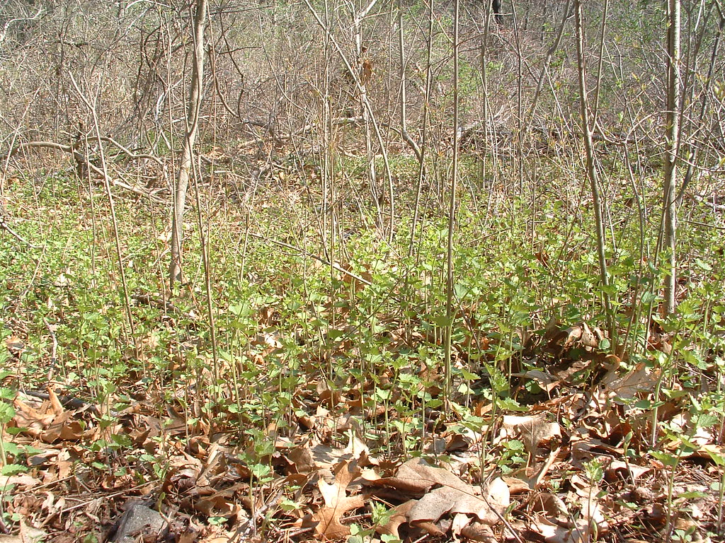 Photo: jim_snydergrant, CC BY 2.0 (via Flickr)
Yellow
~6 min drive
Easy 0.74-mile loop trail in Massachusetts.
Photo: jim_snydergrant, CC BY 2.0 (via Flickr)Red Billings Trail
~6 min drive
0.30-mile out-and-back hike in Massachusetts with 6 ft elevation gain.
Photo: kristin from Somerville, MA, CC BY-SA 2.0 (via Wikimedia Commons)Poole Sachs Davis Loop
~6 min drive
A 2.45-mile point-to-point trail through Massachusetts woodland.
Photo: kristin from Somerville, MA, CC BY-SA 2.0 (via Wikimedia Commons)Woodhaven Trails
~6 min drive
0.56-mile point-to-point trail in Massachusetts with 66 ft gain.

Map and trail data © OpenStreetMap contributors
