
Bear Creek Campgrounds
Campground
1.0 mi from the trail
Military Road Trail is a short, easy hike in Delaware Water Gap National Recreation Area in New Jersey, managed by the National Park Service. The route is about a mile long, with a one-way elevation gain of 336 feet from a low point of 391 feet to a high of 613 feet. The steepest stretch comes early, at about 0.24 miles in, with a 17% grade. Late spring and early fall are the most comfortable times to go. Typical averages from a nearby weather station in Newton, NJ, run to highs around 70°F in May and 75°F in September, while July highs average about 84°F. The trail makes an easy pairing with Walpack Ridge Trail, which starts just 0.1 mile away. Tillman Ravine Trail is about 1.3 miles off, and Fossil Trail across the line in Pennsylvania is about 1.7 miles away. For an overnight stay, Alosa Campsites is about 7.2 miles from the trail.
Where it is: Delaware Water Gap National Recreation Area
Near: Newton
Late August to late November and late March to mid-June are usually best for hiking here.
Typical highs of 50–80°F and lows of 30°F or warmer in those weeks.
Typical weather: NOAA 1991–2020 normals at Newton, NJ, 10 mi away. Not a forecast.
Typical weather by monthBest months: April–June and September–November. Best months are the ones mostly made of the best weeks for hiking: typical temperatures in its comfortable range, few snowy days and not usually wet, judged with the same limits as our good-day forecasts.
Jan
37°
17°
Feb
40°
19°
Mar
48°
28°
Apr
61°
38°
May
70°
48°
Jun
80°
56°
Jul
84°
62°
Aug
83°
60°
Sep
75°
52°
Oct
64°
41°
Nov
52°
32°
Dec
41°
24°
Typical high / low (°F) and days with rain or snow, 1991–2020. Measured at Newton, NJ, 9.7 mi away at 605 ft. This station doesn't record snowfall. Source: NOAA NCEI U.S. Climate Normals 1991–2020.
Been here? Tell people how it was.
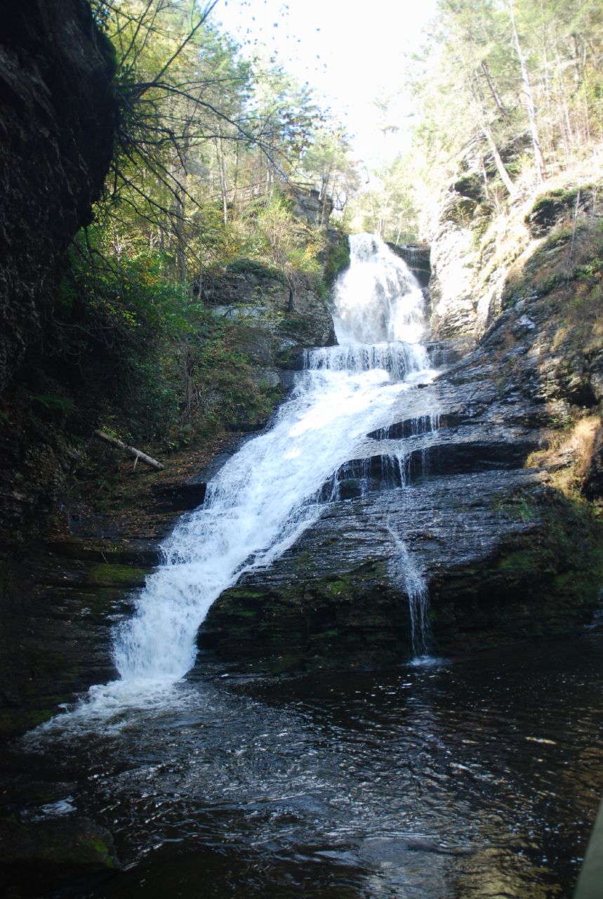
 Tumbling Waters TrailHikingPhoto: wasp7ty, CC BY 2.0 (via Flickr)~3 min driveRidgeline TrailHikingPhoto: wasp7ty, CC BY 2.0 (via Flickr)~3 min drive
 Buttermilk Falls TrailHikingPhoto: pennuja, CC BY 2.0 (via Flickr)~5 min drive
 Steffen TrailHikingPhoto: j-dub1980(THANK YOU FOR 100k+ Views), CC BY-SA 2.0 (via Flickr)~6 min driveStoll TrailHikingPhoto: j-dub1980(THANK YOU FOR 100k+ Views), CC BY-SA 2.0 (via Flickr)~4 min driveUnmaintained TrailHikingPhoto: pennuja, CC BY 2.0 (via Flickr)~8 min drive
 Hornbecks Creek TrailHikingPhoto: John Delacy, CC BY 3.0 (via Wikimedia Commons)~4 min driveHemlock Pond TrailHikingPhoto: pennuja, CC BY 2.0 (via Flickr)~6 min drive
Daily highs and lows, wind and the chance of precipitation at Start for the next 7 days, from the Open-Meteo model.
Questions about Military Road Trail: conditions, access, timing. Answers say when something isn't known.
Bear Creek Campgrounds
Campground
 If it rainsZeete, CC BY-SA 4.0 · Wikimedia Commons
Zinc mine and museum in Ogdensburg, New Jersey
Places © OpenStreetMap contributors · Photos: Zeete, CC BY-SA 4.0 (commons)
More in HackettstownMap and trail data © OpenStreetMap contributors
