
Rancho Sedona RV Park
Hiking business nearby (~40 mi away) — hasn't claimed their Roamze page yet

Arizona
Free — you'll pick up right here.
2.4 mi
Distance
1,163 ft
Gain
54 min
Time
We won't guess. Here is exactly what we do and don't know.
What we do know
Inside Coconino National Forest
2 managing-area boundaries mapped — agency alerts for them feed this page automatically.
Boundary data
What's missing
No access route mapped
We don't yet know which road reaches this trailhead, so we can't tell you if it's gated.
Nobody's filed a report here yet — be the first.
Why you'll love it
Arizona Trail
Suggested plan · check conditions before you go
This 4.88-mile out-and-back trail in Arizona offers hikers an accessible journey that can be easily customized by turning back at any point. As part of the larger Arizona Trail system, it connects to Passage 42, making it an excellent option for those exploring the broader network of trails throughout the state.
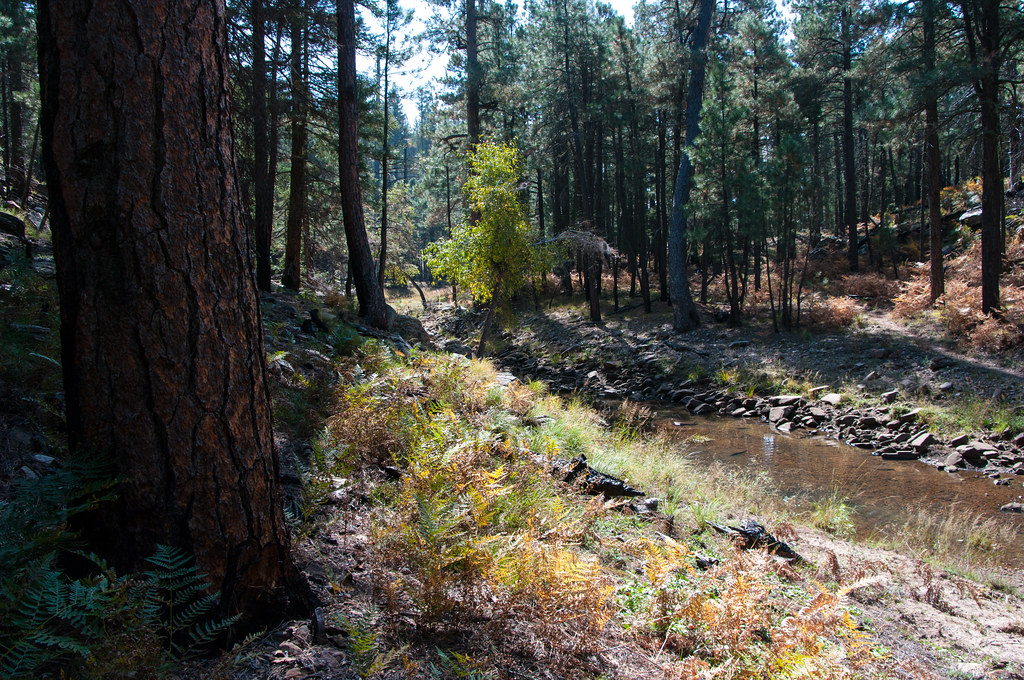 Photo: Coconino NF Photography, Public Domain Dedication (CC0) (via Flickr)
Fred Haught
~4 min drive
Fred Haught is a 7.13-mile out-and-back trail in Arizona with 253 feet of elevation gain.
 Photo: Coconino NF Photography, Public Domain Mark (via Flickr)
Rock Crossing
~12 min drive
3.79-mile out-and-back trail in Arizona with 592 ft elevation gain.
 Photo: Coconino NF Photography, CC BY-SA 2.0 (via Flickr)
Redrock
~17 min drive
1.84-mile out-and-back trail in Arizona with 616 ft elevation gain.
 Photo: USDAgov, Public Domain Mark (via Flickr)
Derrick Spur
~22 min drive
1.7-mile out-and-back trail in Arizona with 421 ft gain
 Photo: cogdog, CC BY-SA 3.0 (via Wikimedia Commons)
Houston Brothers
~6 min drive
14.29-mile out-and-back trail in Arizona with 676 ft gain.
 Photo: Coconino National Forest, CC BY-SA 2.0 (via Wikimedia Commons)
Donahue
~17 min drive
3.80-mile out-and-back trail in Arizona with 3,140 ft gain
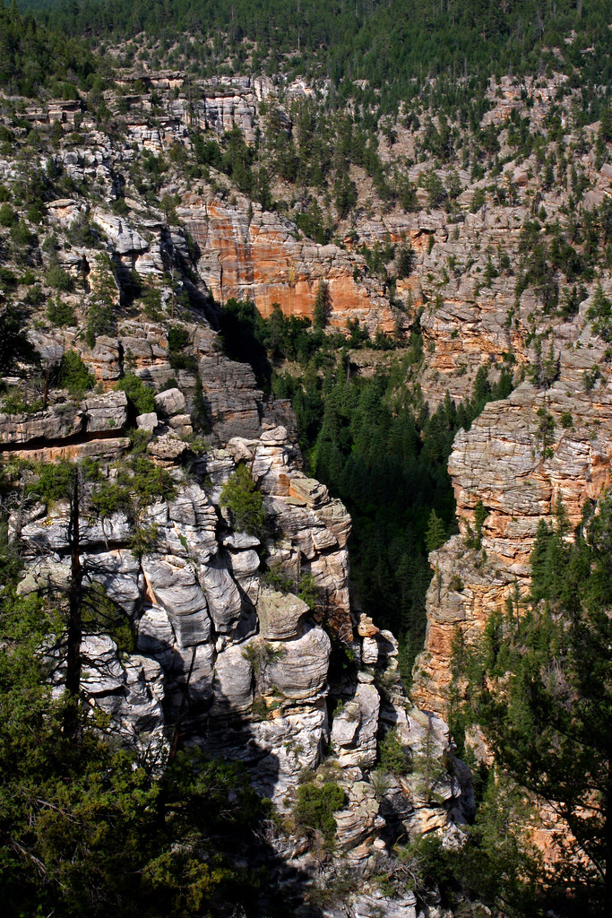 Photo: Coconino NF Photography, CC BY-SA 2.0 (via Flickr)
Maxwell
~19 min drive
1.29-mile out-and-back trail in Arizona with 414 ft gain.
 Photo: Kristof Zyskowski & Yulia Bereshpolova, CC BY 2.0 (via Flickr)
U-Bar
~10 min drive
14.69-mile out-and-back trail in Arizona with 149 ft of elevation gain.
Photo: USDAgov, Public Domain Mark (via Flickr)Horton Creek Trail #285
~21 min drive
6.67-mile out-and-back hike on Horton Creek Trail #285 in Arizona with 1,141 ft of elevation gain.
 Photo: cogdogblog, Public Domain Dedication (CC0) (via Flickr)
Pine View
~20 min drive
Pine View is a 1.28-mile out-and-back trail in Arizona with 3 feet of elevation gain.
Map and trail data © OpenStreetMap contributors
Local operatorsoffering guided trips. You book directly with them — Roamze doesn’t take a cut.
Rancho Sedona RV Park
Hiking business nearby (~40 mi away) — hasn't claimed their Roamze page yet
Camp Avalon Spiritual Nature Retreat
Hiking business nearby (~41 mi away) — hasn't claimed their Roamze page yet
Canyon Outfitters Sedona
Hiking business nearby (~42 mi away) — hasn't claimed their Roamze page yet
